10 Irene Ct Millbury, MA 01527
Estimated Value: $680,000 - $803,000
4
Beds
3
Baths
2,594
Sq Ft
$280/Sq Ft
Est. Value
About This Home
This home is located at 10 Irene Ct, Millbury, MA 01527 and is currently estimated at $725,210, approximately $279 per square foot. 10 Irene Ct is a home with nearby schools including Elmwood Street Elementary School, Raymond E. Shaw Elementary School, and Millbury Junior/Senior High School.
Ownership History
Date
Name
Owned For
Owner Type
Purchase Details
Closed on
Mar 9, 2016
Sold by
Tpr Homes Llc
Bought by
Auger Robert P and Lee Victoria S
Current Estimated Value
Home Financials for this Owner
Home Financials are based on the most recent Mortgage that was taken out on this home.
Original Mortgage
$356,915
Outstanding Balance
$283,804
Interest Rate
3.79%
Mortgage Type
New Conventional
Estimated Equity
$441,406
Create a Home Valuation Report for This Property
The Home Valuation Report is an in-depth analysis detailing your home's value as well as a comparison with similar homes in the area
Home Values in the Area
Average Home Value in this Area
Purchase History
| Date | Buyer | Sale Price | Title Company |
|---|---|---|---|
| Auger Robert P | $375,700 | -- | |
| Auger Robert P | $375,700 | -- |
Source: Public Records
Mortgage History
| Date | Status | Borrower | Loan Amount |
|---|---|---|---|
| Open | Auger Robert P | $356,915 | |
| Closed | Auger Robert P | $356,915 |
Source: Public Records
Tax History Compared to Growth
Tax History
| Year | Tax Paid | Tax Assessment Tax Assessment Total Assessment is a certain percentage of the fair market value that is determined by local assessors to be the total taxable value of land and additions on the property. | Land | Improvement |
|---|---|---|---|---|
| 2025 | $8,761 | $654,300 | $114,900 | $539,400 |
| 2024 | $8,043 | $607,900 | $106,500 | $501,400 |
| 2023 | $7,696 | $532,600 | $74,700 | $457,900 |
| 2022 | $6,887 | $459,100 | $74,700 | $384,400 |
| 2021 | $4,713 | $443,300 | $74,700 | $368,600 |
| 2020 | $6,692 | $436,500 | $74,700 | $361,800 |
| 2019 | $6,259 | $394,900 | $74,300 | $320,600 |
| 2018 | $4,243 | $379,200 | $74,300 | $304,900 |
| 2017 | $4,630 | $46,500 | $46,500 | $0 |
| 2016 | $448 | $27,200 | $27,200 | $0 |
| 2015 | $448 | $27,200 | $27,200 | $0 |
| 2014 | $465 | $27,200 | $27,200 | $0 |
Source: Public Records
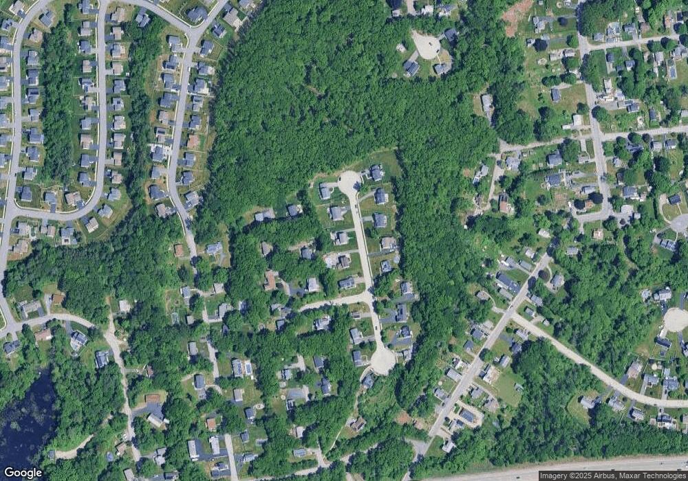
Map
Nearby Homes
- 12 Irene Ct
- 11 Westview Ave
- 86 Wheelock Ave
- 2 Diane St
- 3 May St
- 1 Pineland Ave
- 1 Broadmeadow Ave
- 27 A-B Grafton St
- 11 Maplewood Rd
- 330 Millbury Ave
- 3 Stidsen Way
- 497 Massasoit Rd
- 232 Weatherstone Dr
- 76 Weatherstone Dr
- 90 Macarthur Dr
- 12 Alstead Path
- 1203 Grafton St Unit 38
- 1201 Grafton St Unit 73
- 1195 Grafton St Unit 3
- 1199 Grafton St Unit 93