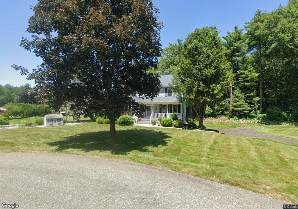
10 James Cir Wilbraham, MA 01095
Estimated Value: $505,000 - $587,000
4
Beds
3
Baths
2,308
Sq Ft
$234/Sq Ft
Est. Value
About This Home
This home is located at 10 James Cir, Wilbraham, MA 01095 and is currently estimated at $540,129, approximately $234 per square foot. 10 James Cir is a home located in Hampden County with nearby schools including Minnechaug Regional High School, St. John the Baptist School, and Wilbraham & Monson Academy.
Ownership History
Date
Name
Owned For
Owner Type
Purchase Details
Closed on
Nov 6, 2023
Sold by
Silk Kevin J and Silk Patrica W
Bought by
Silk Rachel A
Current Estimated Value
Purchase Details
Closed on
Jun 15, 1995
Sold by
Manganaro Home Bldrs
Bought by
Silk Kevin J and Silk Patricia W
Home Financials for this Owner
Home Financials are based on the most recent Mortgage that was taken out on this home.
Original Mortgage
$145,000
Interest Rate
8.24%
Mortgage Type
Purchase Money Mortgage
Create a Home Valuation Report for This Property
The Home Valuation Report is an in-depth analysis detailing your home's value as well as a comparison with similar homes in the area
Home Values in the Area
Average Home Value in this Area
Purchase History
| Date | Buyer | Sale Price | Title Company |
|---|---|---|---|
| Silk Rachel A | -- | None Available | |
| Silk Kevin J | $64,000 | -- |
Source: Public Records
Mortgage History
| Date | Status | Borrower | Loan Amount |
|---|---|---|---|
| Previous Owner | Silk Kevin J | $33,600 | |
| Previous Owner | Silk Kevin J | $145,000 |
Source: Public Records
Tax History Compared to Growth
Tax History
| Year | Tax Paid | Tax Assessment Tax Assessment Total Assessment is a certain percentage of the fair market value that is determined by local assessors to be the total taxable value of land and additions on the property. | Land | Improvement |
|---|---|---|---|---|
| 2025 | $8,591 | $480,500 | $110,700 | $369,800 |
| 2024 | $8,403 | $454,200 | $110,700 | $343,500 |
| 2023 | $7,710 | $410,200 | $110,700 | $299,500 |
| 2022 | $7,710 | $376,300 | $110,700 | $265,600 |
| 2021 | $7,866 | $342,600 | $129,700 | $212,900 |
| 2020 | $7,667 | $342,600 | $129,700 | $212,900 |
| 2019 | $7,528 | $345,300 | $129,700 | $215,600 |
| 2018 | $7,582 | $334,900 | $129,700 | $205,200 |
| 2017 | $7,368 | $334,900 | $129,700 | $205,200 |
| 2016 | $7,024 | $325,200 | $134,200 | $191,000 |
| 2015 | $6,790 | $325,200 | $134,200 | $191,000 |
Source: Public Records
Map
Nearby Homes
- 6V Melikian Dr
- 344 Stony Hill Rd
- 15 Sandalwood Dr Unit site 00
- 8 Glenn Dr
- 34 Blacksmith Rd
- 26 Sandalwood Dr
- 10 Forest Glade Dr
- 111 Sandalwood Dr Unit site 00
- 57 Sandalwood Dr Unit site 61
- 103 Sandalwood Dr Unit site 00
- 99 Sandalwood Dr Unit site 00
- 24 Lodge Ln Unit 24
- 11 Wellfleet Dr
- 6 Teak Terrace Unit 24
- 116 Cherry Dr Unit 116
- 2205 Boston Rd Unit I 82
- 24 Dumaine St
- 19 Linwood Dr
- 135 Bulat Dr
- 161 Fernbank Rd