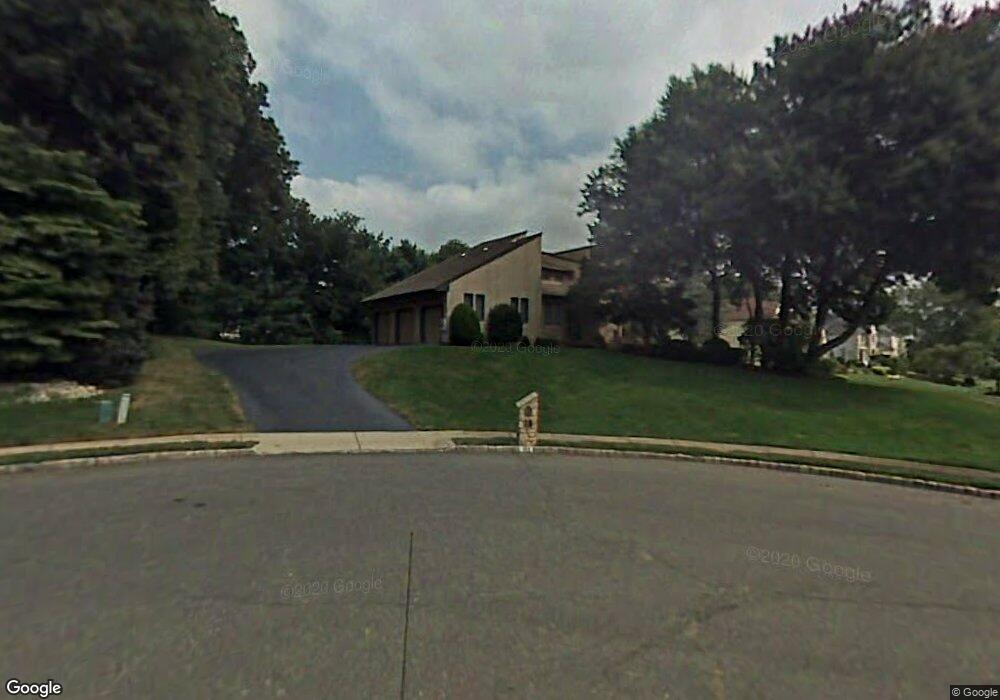
10 Jamie Ct Morganville, NJ 07751
Estimated Value: $1,225,887 - $1,474,000
5
Beds
2
Baths
3,921
Sq Ft
$342/Sq Ft
Est. Value
About This Home
This home is located at 10 Jamie Ct, Morganville, NJ 07751 and is currently estimated at $1,341,722, approximately $342 per square foot. 10 Jamie Ct is a home located in Monmouth County with nearby schools including Asher Holmes Elementary School, Marlboro Middle School, and Marlboro High School.
Ownership History
Date
Name
Owned For
Owner Type
Purchase Details
Closed on
Apr 25, 2002
Sold by
Wayside Kb Llc
Bought by
Hunley Robert and Hunley Nadine
Current Estimated Value
Home Financials for this Owner
Home Financials are based on the most recent Mortgage that was taken out on this home.
Original Mortgage
$150,000
Interest Rate
6.81%
Purchase Details
Closed on
Aug 21, 1987
Bought by
Wolkow Allen and Wolkow Sheila
Create a Home Valuation Report for This Property
The Home Valuation Report is an in-depth analysis detailing your home's value as well as a comparison with similar homes in the area
Home Values in the Area
Average Home Value in this Area
Purchase History
| Date | Buyer | Sale Price | Title Company |
|---|---|---|---|
| Hunley Robert | $245,500 | -- | |
| Wolkow Allen | $498,400 | -- |
Source: Public Records
Mortgage History
| Date | Status | Borrower | Loan Amount |
|---|---|---|---|
| Previous Owner | Hunley Robert | $150,000 |
Source: Public Records
Tax History Compared to Growth
Tax History
| Year | Tax Paid | Tax Assessment Tax Assessment Total Assessment is a certain percentage of the fair market value that is determined by local assessors to be the total taxable value of land and additions on the property. | Land | Improvement |
|---|---|---|---|---|
| 2025 | $18,505 | $752,200 | $252,000 | $500,200 |
| 2024 | $17,736 | $739,300 | $252,000 | $487,300 |
| 2023 | $17,736 | $739,300 | $252,000 | $487,300 |
| 2022 | $17,057 | $739,300 | $252,000 | $487,300 |
| 2021 | $17,057 | $739,300 | $252,000 | $487,300 |
| 2020 | $17,115 | $739,300 | $252,000 | $487,300 |
| 2019 | $17,115 | $739,300 | $252,000 | $487,300 |
| 2018 | $16,826 | $739,300 | $252,000 | $487,300 |
| 2017 | $16,486 | $739,300 | $252,000 | $487,300 |
| 2016 | $16,427 | $739,300 | $252,000 | $487,300 |
| 2015 | $15,657 | $726,700 | $252,000 | $474,700 |
| 2014 | $15,377 | $706,800 | $252,000 | $454,800 |
Source: Public Records
Map
Nearby Homes
- 21 Alberta Dr
- 9 Bennett Ct
- 23 Eli Cir
- 7 Syngle Way
- 11 Woodview Dr
- 102 Parker Chase
- 308 Pilot St
- 102 Pilot St
- 11 Churchill Ct
- 34 Brookside Cir
- 218 Medford Ct Unit A
- 126 Wyncrest Rd
- 236 Medford Ct Unit G
- 21 Wickatunk Rd
- 37 Willow Grove Way
- 230 Medford Ct Unit C
- 25 Highland Dr
- 205 Covered Bridge Blvd Unit K
- 4 Garnet St
- 28 Aspen Ave