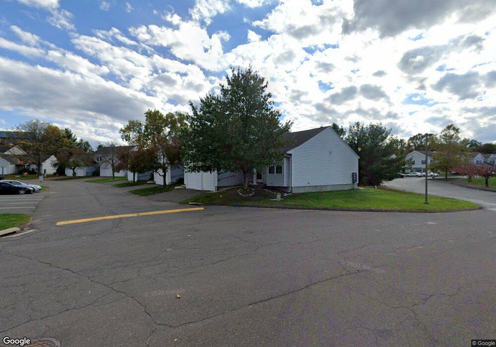
10 Jamie Ln Unit D Manchester, CT 06042
Robertson NeighborhoodEstimated Value: $281,000 - $319,000
3
Beds
3
Baths
1,432
Sq Ft
$212/Sq Ft
Est. Value
About This Home
This home is located at 10 Jamie Ln Unit D, Manchester, CT 06042 and is currently estimated at $304,022, approximately $212 per square foot. 10 Jamie Ln Unit D is a home located in Hartford County with nearby schools including Buckley School, Illing Middle School, and Elisabeth M. Bennet Academy.
Ownership History
Date
Name
Owned For
Owner Type
Purchase Details
Closed on
Sep 30, 2003
Sold by
Szkunlarek Jacek
Bought by
Gills Diana
Current Estimated Value
Home Financials for this Owner
Home Financials are based on the most recent Mortgage that was taken out on this home.
Original Mortgage
$159,020
Interest Rate
6.29%
Create a Home Valuation Report for This Property
The Home Valuation Report is an in-depth analysis detailing your home's value as well as a comparison with similar homes in the area
Home Values in the Area
Average Home Value in this Area
Purchase History
| Date | Buyer | Sale Price | Title Company |
|---|---|---|---|
| Gills Diana | $167,500 | -- | |
| Gills Diana | $167,500 | -- |
Source: Public Records
Mortgage History
| Date | Status | Borrower | Loan Amount |
|---|---|---|---|
| Open | Gills Diana | $141,267 | |
| Closed | Gills Diana | $41,500 | |
| Closed | Gills Diana | $159,020 |
Source: Public Records
Tax History Compared to Growth
Tax History
| Year | Tax Paid | Tax Assessment Tax Assessment Total Assessment is a certain percentage of the fair market value that is determined by local assessors to be the total taxable value of land and additions on the property. | Land | Improvement |
|---|---|---|---|---|
| 2025 | $5,312 | $133,400 | $0 | $133,400 |
| 2024 | $5,160 | $133,400 | $0 | $133,400 |
| 2023 | $4,962 | $133,400 | $0 | $133,400 |
| 2022 | $4,818 | $133,400 | $0 | $133,400 |
| 2021 | $4,897 | $116,800 | $0 | $116,800 |
| 2020 | $4,890 | $116,800 | $0 | $116,800 |
| 2019 | $4,871 | $116,800 | $0 | $116,800 |
| 2018 | $4,778 | $116,800 | $0 | $116,800 |
| 2017 | $4,643 | $116,800 | $0 | $116,800 |
| 2016 | $4,420 | $111,400 | $0 | $111,400 |
| 2015 | $4,389 | $111,400 | $0 | $111,400 |
| 2014 | $4,306 | $111,400 | $0 | $111,400 |
Source: Public Records
Map
Nearby Homes
- 213 Oakland St Unit D
- 244 Oakland St Unit E
- 244 Oakland St Unit H
- 413 Lady Bug Ln Unit 413
- 5 Allison Rd
- 128 Pond Ln
- 34 Donahue Ln Unit 34
- 486 Tolland Turnpike
- 441 Millstream Dr Unit 441
- 39 W Vernon St
- 210 Green Rd
- 107 Main St
- 74 North St
- 99 Union St
- 156 Avery St
- 29 Bretton Rd
- 169 Avery St
- 50 North St
- 17 North St
- 23 Chatsworth Ct
- 10 Jamie Ln Unit 10B
- 10 Jamie Ln Unit F
- 10 Jamie Ln Unit E
- 10 Jamie Ln Unit C
- 10 Jamie Ln Unit B
- 10 Jamie Ln Unit A
- 10 Jamie Ln Unit 10 C
- 10 Jamie Ln
- 9 Jamie Ln Unit D
- 9 Jamie Ln Unit C
- 9 Jamie Ln Unit B
- 9 Jamie Ln Unit A
- 7 Jamie Ln Unit D
- 7 Jamie Ln Unit C
- 7 Jamie Ln Unit B
- 7 Jamie Ln Unit A
- 6 Jamie Ln Unit 6D
- 6 Jamie Ln Unit 6C
- 6 Jamie Ln Unit 6B
- 6 Jamie Ln Unit 6A