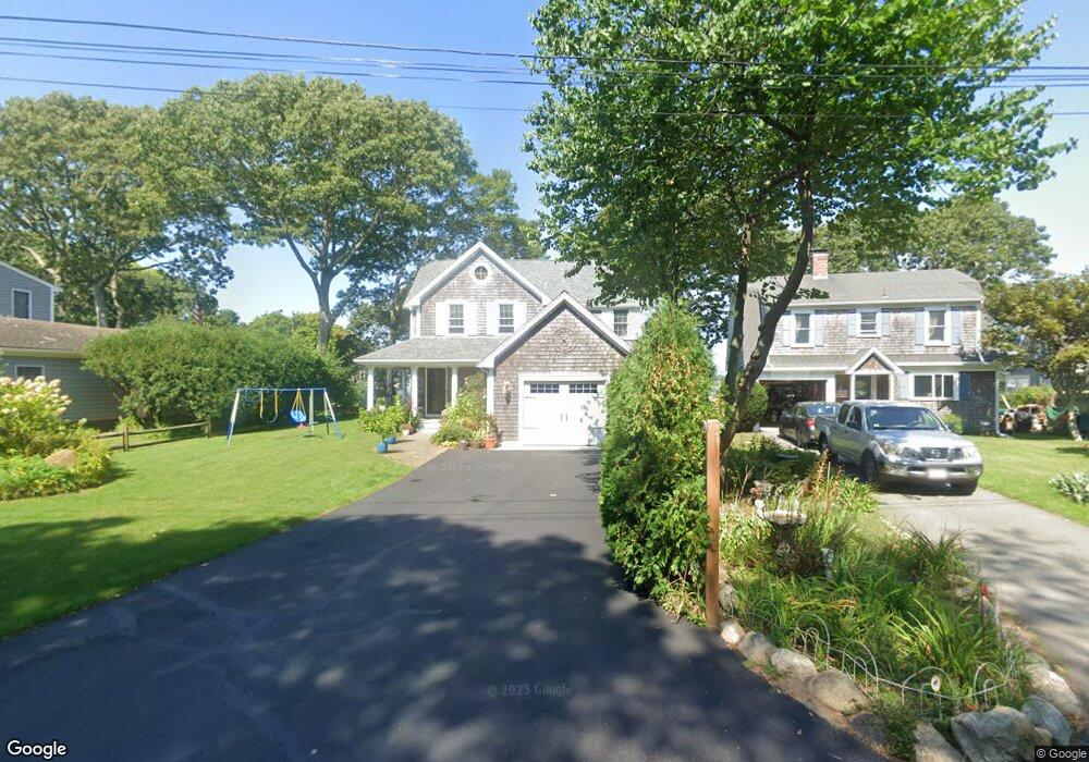
10 Jefferson Rd Bourne, MA 2532
Estimated Value: $956,000 - $1,241,000
3
Beds
3
Baths
1,840
Sq Ft
$594/Sq Ft
Est. Value
About This Home
This home is located at 10 Jefferson Rd, Bourne, MA 2532 and is currently estimated at $1,093,240, approximately $594 per square foot. 10 Jefferson Rd is a home located in Barnstable County with nearby schools including Bourne High School, St Margaret Regional School, and Cadence Academy Preschool - Bourne.
Ownership History
Date
Name
Owned For
Owner Type
Purchase Details
Closed on
Jan 24, 2025
Sold by
Poirier Philip J and Poirier Perian A
Bought by
Poirier
Current Estimated Value
Purchase Details
Closed on
Dec 29, 2009
Sold by
Schlotterbeck Lewis C and Schlotterbeck Elaine A
Bought by
Poirier Philip and Poirier Perian A
Home Financials for this Owner
Home Financials are based on the most recent Mortgage that was taken out on this home.
Original Mortgage
$270,000
Interest Rate
4.92%
Mortgage Type
Purchase Money Mortgage
Create a Home Valuation Report for This Property
The Home Valuation Report is an in-depth analysis detailing your home's value as well as a comparison with similar homes in the area
Purchase History
| Date | Buyer | Sale Price | Title Company |
|---|---|---|---|
| Poirier | -- | None Available | |
| Poirier | -- | None Available | |
| Poirier Philip | $450,000 | -- | |
| Poirier Philip | $450,000 | -- |
Source: Public Records
Mortgage History
| Date | Status | Borrower | Loan Amount |
|---|---|---|---|
| Previous Owner | Poirier Philip | $270,000 |
Source: Public Records
Tax History
| Year | Tax Paid | Tax Assessment Tax Assessment Total Assessment is a certain percentage of the fair market value that is determined by local assessors to be the total taxable value of land and additions on the property. | Land | Improvement |
|---|---|---|---|---|
| 2025 | $8,138 | $1,042,000 | $627,100 | $414,900 |
| 2024 | $7,958 | $992,300 | $597,200 | $395,100 |
| 2023 | $7,736 | $878,100 | $528,500 | $349,600 |
| 2022 | $7,518 | $745,100 | $467,700 | $277,400 |
| 2021 | $7,304 | $678,200 | $425,600 | $252,600 |
| 2020 | $7,123 | $663,200 | $421,600 | $241,600 |
| 2019 | $6,941 | $660,400 | $380,600 | $279,800 |
| 2018 | $6,630 | $629,000 | $362,500 | $266,500 |
| 2017 | $6,417 | $623,000 | $359,100 | $263,900 |
| 2016 | $4,800 | $472,400 | $359,100 | $113,300 |
| 2015 | $4,493 | $446,200 | $359,100 | $87,100 |
Source: Public Records
Map
Nearby Homes
- 60 Bourne Neck Dr
- 35 Benedict Rd
- 46 Holt Rd Unit B
- 46 Holt Rd
- 5 Zoli Ln
- 40-A Lafayette Ave
- 4 Van Bummel Rd
- 13 Laurel Hill Ct
- 56 Rip Van Winkle Way
- 44 Cotuit Rd
- 203 County Rd
- 60 Sandwich Rd
- 38 Old Bridge Rd
- 2 Applewood Ct
- 5 Sea Knoll Ct
- 3 Honora Ln Unit 3
- 6 Honora Ct
- 3 Fairway Dr Unit F
- 304 Main St
- 12 Turnberry Rd Unit 12
Your Personal Tour Guide
Ask me questions while you tour the home.