Estimated Value: $628,701 - $1,146,000
--
Bed
3
Baths
2,031
Sq Ft
$405/Sq Ft
Est. Value
About This Home
This home is located at 10 Joel Ct, Reisterstown, MD 21136 and is currently estimated at $821,675, approximately $404 per square foot. 10 Joel Ct is a home located in Baltimore County with nearby schools including Fort Garrison Elementary School, Pikesville Middle School, and Owings Mills High School.
Ownership History
Date
Name
Owned For
Owner Type
Purchase Details
Closed on
Jan 3, 2006
Sold by
Elliott Fermin O
Bought by
Elliott Fermin O
Current Estimated Value
Purchase Details
Closed on
Dec 7, 2005
Sold by
Elliott Fermin O
Bought by
Elliott Fermin O
Purchase Details
Closed on
Sep 29, 1994
Sold by
Anahory Jason R
Bought by
Elliott Fermin O
Home Financials for this Owner
Home Financials are based on the most recent Mortgage that was taken out on this home.
Original Mortgage
$184,000
Interest Rate
8.5%
Create a Home Valuation Report for This Property
The Home Valuation Report is an in-depth analysis detailing your home's value as well as a comparison with similar homes in the area
Home Values in the Area
Average Home Value in this Area
Purchase History
| Date | Buyer | Sale Price | Title Company |
|---|---|---|---|
| Elliott Fermin O | -- | -- | |
| Elliott Fermin O | -- | -- | |
| Elliott Fermin O | $230,000 | -- |
Source: Public Records
Mortgage History
| Date | Status | Borrower | Loan Amount |
|---|---|---|---|
| Open | Elliott Fermin O | $384,750 | |
| Previous Owner | Elliott Fermin O | $184,000 |
Source: Public Records
Tax History Compared to Growth
Tax History
| Year | Tax Paid | Tax Assessment Tax Assessment Total Assessment is a certain percentage of the fair market value that is determined by local assessors to be the total taxable value of land and additions on the property. | Land | Improvement |
|---|---|---|---|---|
| 2025 | $5,355 | $450,500 | $273,200 | $177,300 |
| 2024 | $5,355 | $438,833 | $0 | $0 |
| 2023 | $2,619 | $427,167 | $0 | $0 |
| 2022 | $5,050 | $415,500 | $273,200 | $142,300 |
| 2021 | $4,969 | $410,267 | $0 | $0 |
| 2020 | $4,969 | $405,033 | $0 | $0 |
| 2019 | $4,906 | $399,800 | $273,200 | $126,600 |
| 2018 | $4,859 | $395,933 | $0 | $0 |
| 2017 | $4,769 | $392,067 | $0 | $0 |
| 2016 | $4,719 | $388,200 | $0 | $0 |
| 2015 | $4,719 | $388,200 | $0 | $0 |
| 2014 | $4,719 | $388,200 | $0 | $0 |
Source: Public Records
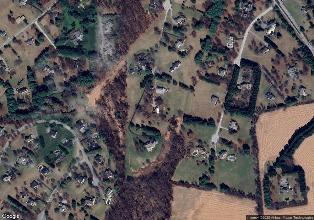
Map
Nearby Homes
- 2201 Knox Ave
- 12325 Falls Rd
- 1507 Heather Hill Ln
- 6 Jonathans Ct
- 1501 - B Peachwood Ln
- 1501 - C Peachwood Ln
- 1 Norfolk Ct
- 1511 - B Peachwood Ln
- 1511 Peachwood Ln
- 4 Quail Covey Ct
- 2101 Tufton Ave
- 13036 Jerome Jay Dr
- 13 Sugarvale Way
- 2410 Greenspring Ave
- 11817 Meylston Dr
- 2 Hillsyde Ct
- 2407 Greenspring Ave
- 2414 Greenspring Ave
- 2415 Greenspring Ave
- 2417 Greenspring Ave