Estimated Value: $1,094,000 - $1,309,000
4
Beds
4
Baths
2,464
Sq Ft
$474/Sq Ft
Est. Value
About This Home
This home is located at 10 Joseph Reed Ln, Acton, MA 01720 and is currently estimated at $1,167,106, approximately $473 per square foot. 10 Joseph Reed Ln is a home located in Middlesex County with nearby schools including Acton-Boxborough Regional High School, Maynard Knowledge Beginnings, and The Imago School.
Ownership History
Date
Name
Owned For
Owner Type
Purchase Details
Closed on
Oct 27, 2011
Sold by
Seward Beverly H and Seward Charles M
Bought by
Plaskon Lara J and Onigman Michael A
Current Estimated Value
Home Financials for this Owner
Home Financials are based on the most recent Mortgage that was taken out on this home.
Original Mortgage
$465,750
Outstanding Balance
$318,973
Interest Rate
4.11%
Mortgage Type
Purchase Money Mortgage
Estimated Equity
$848,133
Create a Home Valuation Report for This Property
The Home Valuation Report is an in-depth analysis detailing your home's value as well as a comparison with similar homes in the area
Home Values in the Area
Average Home Value in this Area
Purchase History
| Date | Buyer | Sale Price | Title Company |
|---|---|---|---|
| Plaskon Lara J | $582,500 | -- |
Source: Public Records
Mortgage History
| Date | Status | Borrower | Loan Amount |
|---|---|---|---|
| Open | Plaskon Lara J | $465,750 |
Source: Public Records
Tax History Compared to Growth
Tax History
| Year | Tax Paid | Tax Assessment Tax Assessment Total Assessment is a certain percentage of the fair market value that is determined by local assessors to be the total taxable value of land and additions on the property. | Land | Improvement |
|---|---|---|---|---|
| 2025 | $15,521 | $905,000 | $368,200 | $536,800 |
| 2024 | $14,583 | $874,800 | $368,200 | $506,600 |
| 2023 | $14,218 | $809,700 | $334,700 | $475,000 |
| 2022 | $13,693 | $704,000 | $290,800 | $413,200 |
| 2021 | $13,085 | $646,800 | $269,100 | $377,700 |
| 2020 | $12,344 | $641,600 | $269,100 | $372,500 |
| 2019 | $11,845 | $611,500 | $269,100 | $342,400 |
| 2018 | $11,644 | $600,800 | $269,100 | $331,700 |
| 2017 | $11,350 | $595,500 | $269,100 | $326,400 |
| 2016 | $11,319 | $588,600 | $269,100 | $319,500 |
| 2015 | $10,813 | $567,600 | $269,100 | $298,500 |
| 2014 | $10,484 | $539,000 | $269,100 | $269,900 |
Source: Public Records
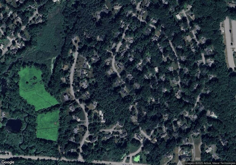
Map
Nearby Homes
- 285 Central St Unit 285
- 9 Elm St Unit 1
- 5 Elm St Unit 1
- 89 Windsor Ave
- 4,7,8 Crestwood Ln
- 31 Mohawk Dr
- 92 Willow St Unit 3
- 92 Willow St Unit 2
- 90 Willow St Unit 1
- 169 Main St
- 4 Huron Rd
- 19 Railroad St Unit C2
- 129 Main St Unit 129
- 129 Main St
- 131 Main St
- 68 Macintosh Ln
- 134 Russet Ln
- 5 Oakwood Rd
- 23 John Swift Rd
- 8 Laurel Ct
- 8 Joseph Reed Ln
- 12 Joseph Reed Ln
- 9 Joseph Reed Ln
- 11 Joseph Reed Ln
- 7 Joseph Reed Ln
- 14 Joseph Reed Ln
- 9 Knowlton Dr
- 6 Joseph Reed Ln
- 18 Deacon Hunt Dr
- 20 Deacon Hunt Dr
- 13 Knowlton Dr
- 13 Joseph Reed Ln
- 5 Joseph Reed Ln
- 16 Deacon Hunt Dr
- 11 Knowlton Dr
- 14 Deacon Hunt Dr
- 7 Knowlton Dr
- 19 Knowlton Dr
- 16 Joseph Reed Ln
- 17 Knowlton Dr