10 Kaechele Dr Sandy Hook, CT 06482
Estimated Value: $335,000 - $427,000
2
Beds
2
Baths
768
Sq Ft
$503/Sq Ft
Est. Value
About This Home
This home is located at 10 Kaechele Dr, Sandy Hook, CT 06482 and is currently estimated at $386,367, approximately $503 per square foot. 10 Kaechele Dr is a home located in Fairfield County with nearby schools including Middle Gate Elementary School, Reed Intermediate School, and Newtown Middle School.
Ownership History
Date
Name
Owned For
Owner Type
Purchase Details
Closed on
Jan 26, 2023
Sold by
Peck Rahnna A and Ceccarelli Jessie A
Bought by
Buonocore Andrew and Buonocore Dynia
Current Estimated Value
Home Financials for this Owner
Home Financials are based on the most recent Mortgage that was taken out on this home.
Original Mortgage
$286,440
Outstanding Balance
$277,420
Interest Rate
6.31%
Mortgage Type
Purchase Money Mortgage
Estimated Equity
$108,947
Create a Home Valuation Report for This Property
The Home Valuation Report is an in-depth analysis detailing your home's value as well as a comparison with similar homes in the area
Home Values in the Area
Average Home Value in this Area
Purchase History
| Date | Buyer | Sale Price | Title Company |
|---|---|---|---|
| Buonocore Andrew | $280,000 | None Available | |
| Buonocore Andrew | $280,000 | None Available |
Source: Public Records
Mortgage History
| Date | Status | Borrower | Loan Amount |
|---|---|---|---|
| Open | Buonocore Andrew | $286,440 | |
| Closed | Buonocore Andrew | $286,440 |
Source: Public Records
Tax History
| Year | Tax Paid | Tax Assessment Tax Assessment Total Assessment is a certain percentage of the fair market value that is determined by local assessors to be the total taxable value of land and additions on the property. | Land | Improvement |
|---|---|---|---|---|
| 2025 | $6,124 | $213,100 | $74,850 | $138,250 |
| 2024 | $5,747 | $213,100 | $74,850 | $138,250 |
| 2023 | $5,592 | $213,100 | $74,850 | $138,250 |
| 2022 | $5,081 | $146,540 | $64,890 | $81,650 |
| 2021 | $5,078 | $146,540 | $64,890 | $81,650 |
| 2020 | $5,094 | $146,540 | $64,890 | $81,650 |
| 2019 | $5,095 | $146,540 | $64,890 | $81,650 |
| 2018 | $5,018 | $146,540 | $64,890 | $81,650 |
| 2017 | $5,242 | $154,770 | $68,310 | $86,460 |
| 2016 | $5,200 | $154,770 | $68,310 | $86,460 |
| 2015 | $5,118 | $154,770 | $68,310 | $86,460 |
| 2014 | $5,155 | $154,770 | $68,310 | $86,460 |
Source: Public Records
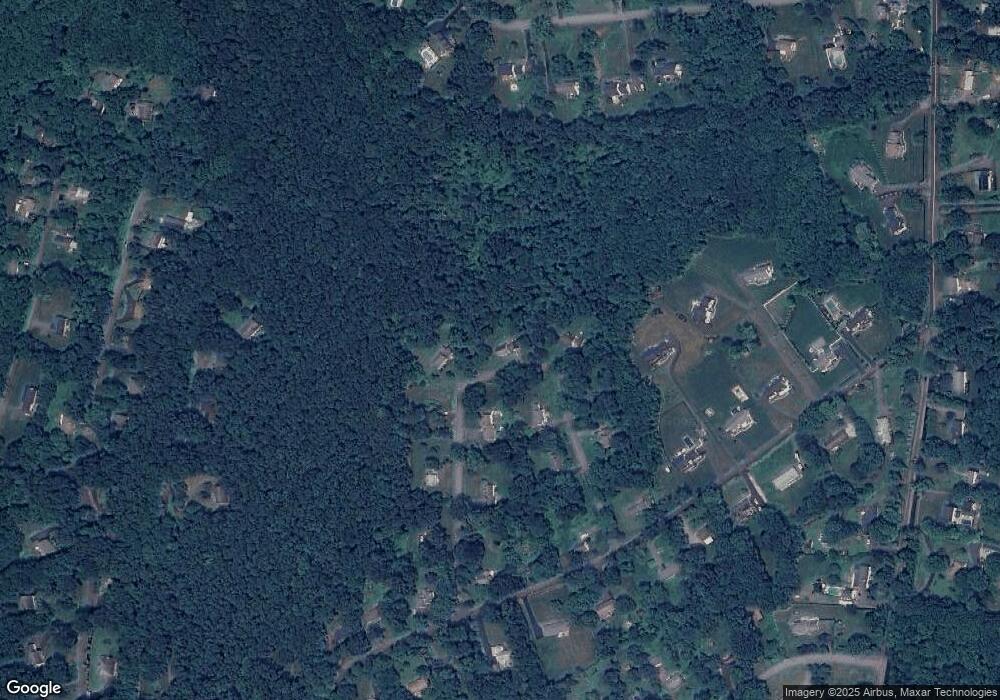
Map
Nearby Homes
- 93 Toddy Hill Rd
- 167 Toddy Hill Rd
- 7 Longview Rd
- 58 Botsford Hill Rd
- 66 Marlin Rd
- 53 A Toddy Hill Rd
- 49 Copper Creek Cir
- 263 & 271 S Main St
- 342 S Main St
- 10 Trout Brook Cir Unit 10
- 19 Botsford Hill Rd
- 4 Old Gate Ln
- 301 S Main St Unit 6
- 29 Orchard Hill Rd
- 61 High Rock Rd
- 44 Orchard Hill Rd
- 12 Skidmore Ln
- 4 Abbey Ln
- 3 Owl Ridge Ln
- 1 Owl Ridge Ln
- 12 Kaechele Dr
- 8 Kaechele Dr
- 5 Kaechele Dr
- 7 Kaechele Dr
- 6 Kaechele Dr
- 14 Kaechele Dr
- 3 Kaechele Dr
- 9 Kaechele Dr
- 4 Kaechele Dr
- 8A Turkey Roost Rd
- 16 Kaechele Dr
- 96 Toddy Hill Rd
- 96 Toddy Hill Rd
- 94 Toddy Hill Rd
- 14 Turkey Roost Rd
- 12 Turkey Roost Rd
- 18 Kaechele Dr
- 4B Turkey Roost Rd
- 16 Turkey Roost Rd
- 18 Turkey Roost Rd
Your Personal Tour Guide
Ask me questions while you tour the home.