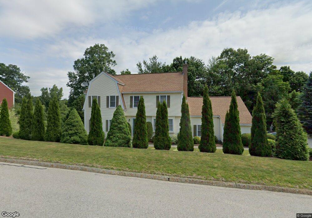
10 Keith David Dr Millbury, MA 01527
Estimated Value: $650,000 - $774,000
4
Beds
3
Baths
2,405
Sq Ft
$294/Sq Ft
Est. Value
About This Home
This home is located at 10 Keith David Dr, Millbury, MA 01527 and is currently estimated at $706,869, approximately $293 per square foot. 10 Keith David Dr is a home located in Worcester County with nearby schools including Elmwood Street Elementary School, Raymond E. Shaw Elementary School, and Millbury Junior/Senior High School.
Ownership History
Date
Name
Owned For
Owner Type
Purchase Details
Closed on
Nov 8, 1996
Sold by
Longwood Dev Corp
Bought by
Brzozy Stanley W
Current Estimated Value
Home Financials for this Owner
Home Financials are based on the most recent Mortgage that was taken out on this home.
Original Mortgage
$100,000
Outstanding Balance
$9,864
Interest Rate
8.1%
Mortgage Type
Purchase Money Mortgage
Estimated Equity
$697,005
Create a Home Valuation Report for This Property
The Home Valuation Report is an in-depth analysis detailing your home's value as well as a comparison with similar homes in the area
Home Values in the Area
Average Home Value in this Area
Purchase History
| Date | Buyer | Sale Price | Title Company |
|---|---|---|---|
| Brzozy Stanley W | $240,974 | -- | |
| Brzozy Stanley W | $240,974 | -- |
Source: Public Records
Mortgage History
| Date | Status | Borrower | Loan Amount |
|---|---|---|---|
| Open | Brzozy Stanley W | $60,000 | |
| Closed | Brzozy Stanley W | $25,000 | |
| Open | Brzozy Stanley W | $100,000 | |
| Closed | Brzozy Stanley W | $100,000 |
Source: Public Records
Tax History Compared to Growth
Tax History
| Year | Tax Paid | Tax Assessment Tax Assessment Total Assessment is a certain percentage of the fair market value that is determined by local assessors to be the total taxable value of land and additions on the property. | Land | Improvement |
|---|---|---|---|---|
| 2025 | $7,976 | $595,700 | $116,300 | $479,400 |
| 2024 | $7,316 | $553,000 | $107,700 | $445,300 |
| 2023 | $6,818 | $471,800 | $75,600 | $396,200 |
| 2022 | $6,111 | $407,400 | $75,600 | $331,800 |
| 2021 | $7,309 | $389,900 | $75,600 | $314,300 |
| 2020 | $5,887 | $384,000 | $75,600 | $308,400 |
| 2019 | $5,849 | $369,000 | $75,200 | $293,800 |
| 2018 | $5,789 | $354,300 | $75,200 | $279,100 |
| 2017 | $4,422 | $328,000 | $75,200 | $252,800 |
| 2016 | $5,254 | $319,200 | $75,200 | $244,000 |
| 2015 | $5,083 | $308,800 | $76,500 | $232,300 |
| 2014 | $4,930 | $288,300 | $80,000 | $208,300 |
Source: Public Records
Map
Nearby Homes
- 52 Clearview Terrace Unit 39
- 14 Howe Ln
- 12 Alstead Path
- 15 Clearview Terrace Unit 68
- 90 Park Hill Ave
- 64 Millbury Ave
- 1 Broadmeadow Ave
- 123 Riverlin St
- 2 Diane St
- 7 Heather Ave
- 330 Millbury Ave
- 17 Atwood Ave
- 457 Granite St
- 12 Irene Ct
- 1295 Millbury St Unit B
- 54 Park Hill Rd
- 5- 33 Tainter Hill Rd Unit 33A
- 5- 33 Tainter Hill Rd
- 497 Massasoit Rd
- 422 Granite St
- 8 Keith David Dr
- 12 Keith David Dr
- 14 Jaclyn Rae Dr
- 2 Matthew Cir
- 6 Keith David Dr
- 13 Keith David Dr
- 14 Keith David Dr
- 7 Brian Cir
- 4 Matthew Cir
- 3 Matthew Cir
- 15 Jaclyn Rae Dr
- 9 Brian Cir
- 5 Brian Cir
- 7 Pinehurst Cir
- 1 Brian Cir
- 13 Jaclyn Rae Dr
- 5 Matthew Cir
- 3 Keith David Dr
- 8 Brian Cir
- 10 Brian Cir