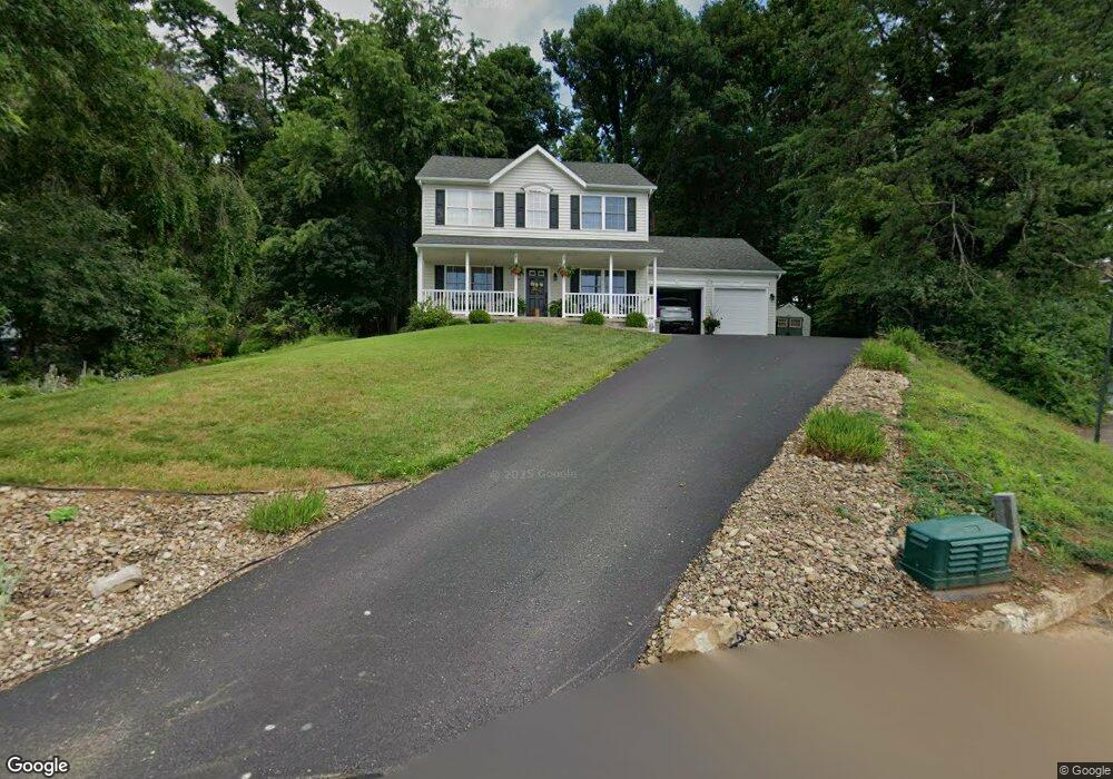
10 Kent Rd Bloomsburg, PA 17815
Estimated Value: $279,117 - $387,000
--
Bed
--
Bath
1,920
Sq Ft
$177/Sq Ft
Est. Value
About This Home
This home is located at 10 Kent Rd, Bloomsburg, PA 17815 and is currently estimated at $340,279, approximately $177 per square foot. 10 Kent Rd is a home located in Columbia County with nearby schools including Memorial Elementary School, Bloomsburg Area Middle School, and Bloomsburg Area High School.
Ownership History
Date
Name
Owned For
Owner Type
Purchase Details
Closed on
Aug 3, 2020
Sold by
Dunne Donald J and Dunne Amanda S
Bought by
Pierce Tristan and Pierce Alyssa
Current Estimated Value
Home Financials for this Owner
Home Financials are based on the most recent Mortgage that was taken out on this home.
Original Mortgage
$200,000
Outstanding Balance
$177,742
Interest Rate
3.1%
Mortgage Type
New Conventional
Estimated Equity
$162,537
Purchase Details
Closed on
Feb 13, 2009
Sold by
Dunne Theresa A and Dunne Donald J
Bought by
Dunne Donald J
Create a Home Valuation Report for This Property
The Home Valuation Report is an in-depth analysis detailing your home's value as well as a comparison with similar homes in the area
Home Values in the Area
Average Home Value in this Area
Purchase History
| Date | Buyer | Sale Price | Title Company |
|---|---|---|---|
| Pierce Tristan | $250,000 | Multi Cnty Land Abstract Co | |
| Dunne Donald J | -- | None Available |
Source: Public Records
Mortgage History
| Date | Status | Borrower | Loan Amount |
|---|---|---|---|
| Open | Pierce Tristan | $200,000 |
Source: Public Records
Tax History Compared to Growth
Tax History
| Year | Tax Paid | Tax Assessment Tax Assessment Total Assessment is a certain percentage of the fair market value that is determined by local assessors to be the total taxable value of land and additions on the property. | Land | Improvement |
|---|---|---|---|---|
| 2025 | $4,925 | $54,598 | $0 | $0 |
| 2024 | $4,843 | $54,598 | $5,763 | $48,835 |
| 2023 | $4,488 | $54,598 | $5,763 | $48,835 |
| 2022 | $4,325 | $54,598 | $5,763 | $48,835 |
| 2021 | $4,234 | $54,598 | $5,763 | $48,835 |
| 2020 | $4,059 | $54,598 | $5,763 | $48,835 |
| 2019 | $3,991 | $54,598 | $5,763 | $48,835 |
| 2018 | $3,898 | $54,598 | $5,763 | $48,835 |
| 2017 | $3,699 | $54,598 | $5,763 | $48,835 |
| 2016 | -- | $54,598 | $5,763 | $48,835 |
| 2015 | -- | $54,598 | $5,763 | $48,835 |
| 2014 | -- | $54,598 | $5,763 | $48,835 |
Source: Public Records
Map
Nearby Homes
- 925 Mcguire Rd
- 712 Country Club Dr
- 4 York Rd
- 829 Lightstreet Rd
- 601 Honeysuckle Ln
- 1219 Maple St
- 575 Crestwood Dr
- 505 Crestwood Dr
- 1238 Cherry St
- 638 E 4th St
- 375377 Fetterman Ave
- 1246 Cherry St
- 520 E 4th St
- 1251 Chestnut St
- 10 Pine St
- 1311 Sassafras St
- 315 E 3rd St
- 413 East St
- 24 Millville Rd
- 1 Bittersweet Dr