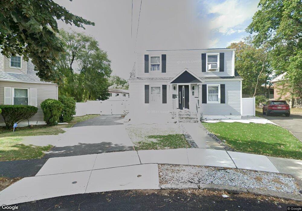
10 Kent Rd Paterson, NJ 07502
Totowa Section NeighborhoodEstimated Value: $489,000 - $600,000
3
Beds
3
Baths
1,160
Sq Ft
$471/Sq Ft
Est. Value
About This Home
This home is located at 10 Kent Rd, Paterson, NJ 07502 and is currently estimated at $545,838, approximately $470 per square foot. 10 Kent Rd is a home located in Passaic County with nearby schools including Edward W. Kilpatrick School of Discovery, Dale Avenue Elementary School, and Paterson Public School No. 5.
Ownership History
Date
Name
Owned For
Owner Type
Purchase Details
Closed on
Feb 12, 2020
Sold by
American Realty Holdings Llc
Bought by
Castillo Wilson and Cabrera Ingrid
Current Estimated Value
Home Financials for this Owner
Home Financials are based on the most recent Mortgage that was taken out on this home.
Original Mortgage
$363,298
Outstanding Balance
$323,306
Interest Rate
3.87%
Mortgage Type
FHA
Estimated Equity
$222,532
Purchase Details
Closed on
Sep 24, 2018
Sold by
Patterson Charles and Patterson Carlina
Bought by
American Realty Holdings Llc
Purchase Details
Closed on
Nov 10, 1999
Sold by
Mcdonald Neill E and Mcdonald Rosario T
Bought by
Patterson Charles and Patterson Carlina
Home Financials for this Owner
Home Financials are based on the most recent Mortgage that was taken out on this home.
Original Mortgage
$139,828
Interest Rate
7.86%
Mortgage Type
FHA
Create a Home Valuation Report for This Property
The Home Valuation Report is an in-depth analysis detailing your home's value as well as a comparison with similar homes in the area
Home Values in the Area
Average Home Value in this Area
Purchase History
| Date | Buyer | Sale Price | Title Company |
|---|---|---|---|
| Castillo Wilson | $371,500 | None Available | |
| American Realty Holdings Llc | $156,000 | None Available | |
| Patterson Charles | $139,900 | First American Title Ins Co |
Source: Public Records
Mortgage History
| Date | Status | Borrower | Loan Amount |
|---|---|---|---|
| Open | Castillo Wilson | $363,298 | |
| Previous Owner | Patterson Charles | $139,828 | |
| Closed | American Realty Holdings Llc | $0 |
Source: Public Records
Tax History Compared to Growth
Tax History
| Year | Tax Paid | Tax Assessment Tax Assessment Total Assessment is a certain percentage of the fair market value that is determined by local assessors to be the total taxable value of land and additions on the property. | Land | Improvement |
|---|---|---|---|---|
| 2025 | $11,357 | $222,900 | $89,900 | $133,000 |
| 2024 | $10,929 | $222,900 | $89,900 | $133,000 |
| 2022 | $10,347 | $222,900 | $89,900 | $133,000 |
| 2021 | $9,977 | $222,900 | $89,900 | $133,000 |
| 2020 | $9,306 | $222,900 | $89,900 | $133,000 |
| 2019 | $9,033 | $218,500 | $88,600 | $129,900 |
| 2018 | $9,336 | $215,800 | $87,900 | $127,900 |
| 2017 | $8,911 | $214,200 | $87,400 | $126,800 |
| 2016 | $9,511 | $219,200 | $94,900 | $124,300 |
| 2015 | $9,005 | $219,200 | $94,900 | $124,300 |
| 2014 | $10,278 | $354,400 | $210,500 | $143,900 |
Source: Public Records
Map
Nearby Homes
- 15 Carrelton Dr
- 11 Carrelton Dr
- 88 Avenue B
- 481 Preakness Ave
- 16 Alden Terrace
- 168 Manchester Ave Unit 170
- 168-170 Manchester Ave
- 262-280 Chamberlain Ave Unit 4
- 500 W Broadway
- 34 Avenue B
- 512 Preakness Ave
- 6 Doremus St
- 237 Sherwood Ave Unit 239
- 150 Redwood Ave
- 77 Oxford St
- 8 Avenue B
- 3 Aberdeen Ct
- 7 Haledon Ct
- 295-297 Linwood Ave