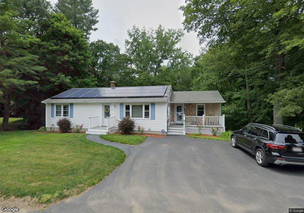
10 King Ct Leicester, MA 01524
Estimated Value: $363,000 - $484,000
3
Beds
2
Baths
1,536
Sq Ft
$272/Sq Ft
Est. Value
About This Home
This home is located at 10 King Ct, Leicester, MA 01524 and is currently estimated at $417,551, approximately $271 per square foot. 10 King Ct is a home located in Worcester County with nearby schools including Leicester Integrated Preschool, Leicester Memorial Elementary School, and Leicester Middle School.
Create a Home Valuation Report for This Property
The Home Valuation Report is an in-depth analysis detailing your home's value as well as a comparison with similar homes in the area
Home Values in the Area
Average Home Value in this Area
Tax History
| Year | Tax Paid | Tax Assessment Tax Assessment Total Assessment is a certain percentage of the fair market value that is determined by local assessors to be the total taxable value of land and additions on the property. | Land | Improvement |
|---|---|---|---|---|
| 2025 | $45 | $385,300 | $82,900 | $302,400 |
| 2024 | $4,253 | $338,900 | $71,700 | $267,200 |
| 2023 | $4,061 | $315,800 | $71,700 | $244,100 |
| 2022 | $3,921 | $280,300 | $68,100 | $212,200 |
| 2021 | $4,118 | $272,200 | $68,100 | $204,100 |
| 2020 | $3,869 | $259,500 | $54,900 | $204,600 |
| 2019 | $3,686 | $244,400 | $49,200 | $195,200 |
| 2018 | $3,306 | $205,500 | $49,200 | $156,300 |
| 2017 | $3,181 | $205,500 | $49,200 | $156,300 |
| 2016 | $3,038 | $203,900 | $61,300 | $142,600 |
| 2015 | $2,965 | $203,900 | $61,300 | $142,600 |
Source: Public Records
Map
Nearby Homes
- 9 Warren Ave
- 155 Rawson St
- 0 S Main St Unit 73392435
- 1A S Main St
- 963 Main St
- 502 Pine St
- 1576 Main St
- 27 Winslow Ave
- 112 Mannville St
- 135 Henshaw St
- 404 Rawson St
- 500 Main St
- 46 Chapel St
- 8 Sunset Dr
- 6 Marlboro Dr
- 213 Henshaw St
- 75 Huntoon Memorial Hwy Unit 1-2
- 0 Kingsbury Rd Unit 73479758
- 595 Pleasant St
- 673 Pleasant St
Your Personal Tour Guide
Ask me questions while you tour the home.