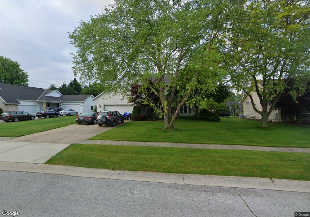
10 King John Dr Norwalk, OH 44857
Estimated Value: $370,000 - $440,000
3
Beds
3
Baths
2,761
Sq Ft
$147/Sq Ft
Est. Value
About This Home
This home is located at 10 King John Dr, Norwalk, OH 44857 and is currently estimated at $404,991, approximately $146 per square foot. 10 King John Dr is a home located in Huron County with nearby schools including Maplehurst Elementary School, Pleasant Elementary School, and League Elementary School.
Ownership History
Date
Name
Owned For
Owner Type
Purchase Details
Closed on
Dec 18, 2024
Sold by
Molnar James W and Molnar Paulette
Bought by
James And Paulette Molnar Living Trust and Molnar
Current Estimated Value
Purchase Details
Closed on
Jan 29, 1996
Sold by
Maple City Ice Co
Bought by
Molnar James W and Molnar Paulette
Create a Home Valuation Report for This Property
The Home Valuation Report is an in-depth analysis detailing your home's value as well as a comparison with similar homes in the area
Home Values in the Area
Average Home Value in this Area
Purchase History
| Date | Buyer | Sale Price | Title Company |
|---|---|---|---|
| James And Paulette Molnar Living Trust | -- | None Listed On Document | |
| James And Paulette Molnar Living Trust | -- | None Listed On Document | |
| Molnar James W | $25,500 | -- | |
| Molnar James W | $163,000 | -- |
Source: Public Records
Tax History Compared to Growth
Tax History
| Year | Tax Paid | Tax Assessment Tax Assessment Total Assessment is a certain percentage of the fair market value that is determined by local assessors to be the total taxable value of land and additions on the property. | Land | Improvement |
|---|---|---|---|---|
| 2024 | $4,376 | $107,220 | $16,040 | $91,180 |
| 2023 | $4,376 | $90,460 | $12,260 | $78,200 |
| 2022 | $3,646 | $90,460 | $12,260 | $78,200 |
| 2021 | $3,648 | $90,460 | $12,260 | $78,200 |
| 2020 | $3,473 | $81,940 | $10,450 | $71,490 |
| 2019 | $3,397 | $81,940 | $10,450 | $71,490 |
| 2018 | $3,337 | $81,940 | $10,450 | $71,490 |
| 2017 | $3,321 | $81,260 | $10,450 | $70,810 |
| 2016 | $3,259 | $81,260 | $10,450 | $70,810 |
| 2015 | $3,258 | $81,280 | $10,460 | $70,820 |
| 2014 | $2,935 | $72,600 | $10,470 | $62,130 |
| 2013 | $2,550 | $72,600 | $10,470 | $62,130 |
Source: Public Records
Map
Nearby Homes
- 4 Mary Way Unit A
- 29 Olive St
- 120 Woodlawn Ave
- 29 Harris Ave
- 15 W Chestnut St
- 85 Woodlawn Ave
- 58 E Elm St
- 11 Granny Smith St
- 50 Norwood Ave
- 40 Norwood Ave
- 29 Corwin St
- 21 Maple St
- 14 Corwin St
- 0 Cleveland Rd
- 123 E Main St
- 29 W Seminary St
- 14 Whitefield Blvd
- 27 Whitefield Blvd
- 57 Milan Ave
- 173 Saint Marys St
- 12 King John Dr
- 8 King John Dr
- 55 Executive Dr
- 53 Executive Dr
- 57 Executive Dr
- 14 King John Dr
- 6 King John Dr
- 7 King John Dr
- 5 King John Dr
- 9 King John Dr
- 51 Executive Dr
- 59 Executive Dr
- 3 King John Dr
- 11 King John Dr
- 16 King John Dr
- 4 King John Dr
- 49 Executive Dr
- 61 Executive Dr
- 6 Queen Anne Way
- 1 King John Dr