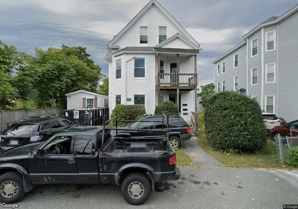
10 Knowlton Ave Worcester, MA 01603
University Park NeighborhoodEstimated Value: $582,000 - $656,000
6
Beds
3
Baths
2,946
Sq Ft
$213/Sq Ft
Est. Value
About This Home
This home is located at 10 Knowlton Ave, Worcester, MA 01603 and is currently estimated at $627,000, approximately $212 per square foot. 10 Knowlton Ave is a home located in Worcester County with nearby schools including Goddard School of Science & Technology, Jacob Hiatt Magnet School, and Chandler Magnet.
Ownership History
Date
Name
Owned For
Owner Type
Purchase Details
Closed on
Dec 5, 2006
Sold by
Borowski Dorothy B and Tatro Dorothy B
Bought by
Borowski Dorothy B
Current Estimated Value
Home Financials for this Owner
Home Financials are based on the most recent Mortgage that was taken out on this home.
Original Mortgage
$92,000
Outstanding Balance
$54,025
Interest Rate
6.36%
Mortgage Type
Purchase Money Mortgage
Estimated Equity
$572,975
Create a Home Valuation Report for This Property
The Home Valuation Report is an in-depth analysis detailing your home's value as well as a comparison with similar homes in the area
Home Values in the Area
Average Home Value in this Area
Purchase History
| Date | Buyer | Sale Price | Title Company |
|---|---|---|---|
| Borowski Dorothy B | -- | -- |
Source: Public Records
Mortgage History
| Date | Status | Borrower | Loan Amount |
|---|---|---|---|
| Open | Borowski Dorothy B | $92,000 |
Source: Public Records
Tax History
| Year | Tax Paid | Tax Assessment Tax Assessment Total Assessment is a certain percentage of the fair market value that is determined by local assessors to be the total taxable value of land and additions on the property. | Land | Improvement |
|---|---|---|---|---|
| 2025 | $7,489 | $567,800 | $81,200 | $486,600 |
| 2024 | $7,286 | $529,900 | $81,200 | $448,700 |
| 2023 | $6,748 | $470,600 | $70,600 | $400,000 |
| 2022 | $6,078 | $399,600 | $56,500 | $343,100 |
| 2021 | $4,892 | $300,500 | $45,200 | $255,300 |
| 2020 | $3,881 | $228,300 | $44,900 | $183,400 |
| 2019 | $4,374 | $243,000 | $39,200 | $203,800 |
| 2018 | $3,820 | $202,000 | $39,200 | $162,800 |
| 2017 | $3,621 | $188,400 | $39,200 | $149,200 |
| 2016 | $3,514 | $170,500 | $28,300 | $142,200 |
| 2015 | $3,422 | $170,500 | $28,300 | $142,200 |
| 2014 | $3,332 | $170,500 | $28,300 | $142,200 |
Source: Public Records
Map
Nearby Homes
- 12 Stoneland Rd
- 5 Stoneland Rd
- 10 Lucian St
- 23 Lakewood St
- 56 Richards St
- 54 Richards St
- 5 Freeland Terrace
- 52 Richards St
- 28 Richards St
- 2 Montague St
- 103 Illinois St
- 18 Crystal St
- 27 Montague St
- 19 Oliver St
- 152 Beaverbrook Pkwy
- 47 Birch St
- 37 Gates Rd
- 31 B Gates Rd Unit 22R
- 114 Lovell St
- 7 Wyman St
- 8 Knowlton Ave
- 8 Knowlton Ave Unit 2
- 8 Knowlton Ave Unit 1
- 8 Knowlton Ave Unit 3
- 9 Nixon Ave
- 9 Nixon Ave Unit 1
- 9 Nixon Ave Unit 2
- 11 Nixon Ave Unit 3
- 11 Nixon Ave Unit 1L
- 3 Knowlton Ave
- 32 Cambridge St Unit rear
- 26 Cambridge St Unit a
- 26 Cambridge St Unit b
- 32 Cambridge St
- 26 Cambridge St
- 1 Nixon Ave
- 6 Waller Ave
- 4 Waller Ave
- 22 Cambridge St
- 36 Cambridge St
Your Personal Tour Guide
Ask me questions while you tour the home.