10 La Plas Dr Findlay, OH 45840
Estimated Value: $255,897 - $276,000
2
Beds
2
Baths
2,032
Sq Ft
$129/Sq Ft
Est. Value
About This Home
This home is located at 10 La Plas Dr, Findlay, OH 45840 and is currently estimated at $262,724, approximately $129 per square foot. 10 La Plas Dr is a home located in Hancock County with nearby schools including Wilson Vance Elementary School, Whittier Elementary School, and Glenwood Middle School.
Ownership History
Date
Name
Owned For
Owner Type
Purchase Details
Closed on
Dec 11, 2007
Sold by
Tuttle Margaret P and Stall Jamie M
Bought by
Osullivan Paul D and Osullivan Nancy L
Current Estimated Value
Purchase Details
Closed on
May 21, 1986
Bought by
Tuttle Arthur R and Tuttle Margaret
Purchase Details
Closed on
Mar 25, 1986
Bought by
Petti Construction Co
Create a Home Valuation Report for This Property
The Home Valuation Report is an in-depth analysis detailing your home's value as well as a comparison with similar homes in the area
Home Values in the Area
Average Home Value in this Area
Purchase History
| Date | Buyer | Sale Price | Title Company |
|---|---|---|---|
| Osullivan Paul D | $154,000 | Attorney | |
| Tuttle Arthur R | $97,000 | -- | |
| Petti Construction Co | -- | -- |
Source: Public Records
Tax History Compared to Growth
Tax History
| Year | Tax Paid | Tax Assessment Tax Assessment Total Assessment is a certain percentage of the fair market value that is determined by local assessors to be the total taxable value of land and additions on the property. | Land | Improvement |
|---|---|---|---|---|
| 2024 | $1,908 | $63,520 | $3,680 | $59,840 |
| 2023 | $1,934 | $63,520 | $3,680 | $59,840 |
| 2022 | $1,942 | $63,520 | $3,680 | $59,840 |
| 2021 | $1,984 | $57,490 | $2,800 | $54,690 |
| 2020 | $1,984 | $57,490 | $2,800 | $54,690 |
| 2019 | $1,946 | $57,490 | $2,800 | $54,690 |
| 2018 | $1,808 | $50,350 | $2,800 | $47,550 |
| 2017 | $904 | $50,350 | $2,800 | $47,550 |
| 2016 | $1,786 | $50,350 | $2,800 | $47,550 |
| 2015 | $1,606 | $45,480 | $2,800 | $42,680 |
| 2014 | $1,606 | $45,480 | $2,800 | $42,680 |
| 2012 | $1,951 | $53,010 | $2,800 | $50,210 |
Source: Public Records
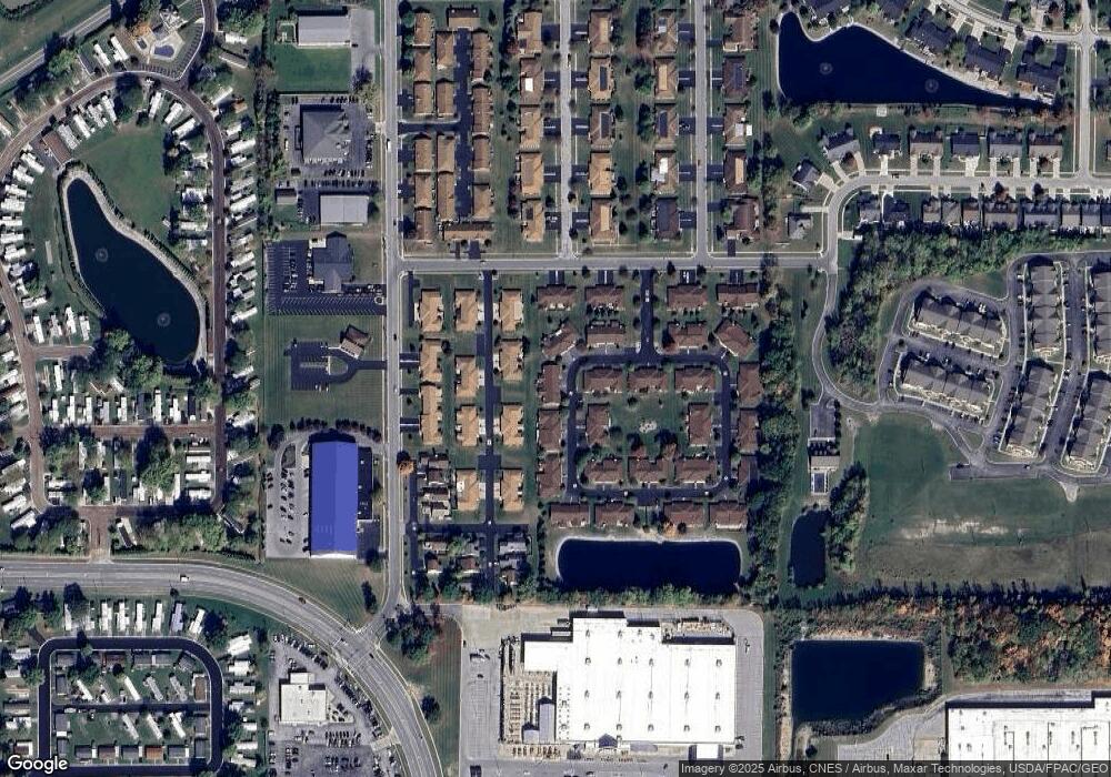
Map
Nearby Homes
- 2024 Silverstone Dr
- 1303 Chateau Cir Unit 60
- 1410 Westshore Dr
- 1309 Chateau Cir Unit 63
- 1364 Chateau Cir Unit 31
- 1364 Chateau Cir Unit 26
- 1306 Chateau Cir Unit 55
- 1306 Chateau Cir Unit 62
- 1306 Chateau Cir Unit 61
- 1203 Chateau Ct
- 0 Bright Rd Unit 6117148
- 0 Bright Rd Unit 6117143
- 0 Bright Rd Unit 6117142
- 0 Bright Rd Unit 6117138
- 1854 Huntington Dr
- 828 Longmeadow Ln
- 822 Bright Rd
- 1816 Cherry Ln
- 1932 Queenswood Dr
- 1926 Queenswood Dr
- 9 La Plas Dr
- 9 La Plas Dr Unit U-9
- 11 La Plas Dr
- 8 La Plas Dr Unit U8
- 12 La Plas Dr
- 24 La Plas Dr
- 7 La Plas Dr Unit U7
- 25 La Plas Dr
- 26 La Plas Dr
- 1631 Kathryn Ct
- 1623 Kathryn Ct Unit U
- 1635 Kathryn Ct Unit 16
- 1619 Kathryn Ct
- 6 La Plas Dr Unit 6
- 13 La Plas Dr
- 1634 Kathryn Ct
- 1622 Kathryn Ct Unit U14
- 1630 Kathryn Ct
- 1618 Kathryn Ct Unit 12
- 14 La Plas Dr