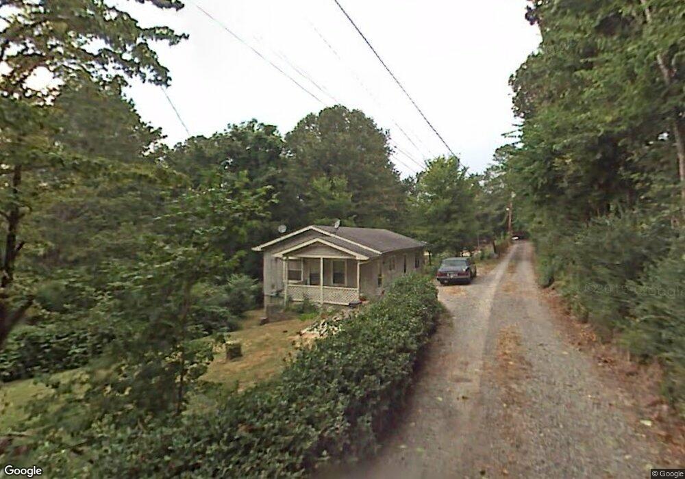
10 Lace Ln Rossville, GA 30741
Estimated Value: $162,000 - $185,000
--
Bed
1
Bath
1,056
Sq Ft
$162/Sq Ft
Est. Value
About This Home
This home is located at 10 Lace Ln, Rossville, GA 30741 and is currently estimated at $171,026, approximately $161 per square foot. 10 Lace Ln is a home located in Walker County with nearby schools including Stone Creek Elementary School, Rossville Middle School, and Ridgeland High School.
Ownership History
Date
Name
Owned For
Owner Type
Purchase Details
Closed on
Jun 22, 2022
Sold by
Reece Norlee
Bought by
Reece Family Rev Liv Tr and C/O Reece Norlee & Linda Trustees
Current Estimated Value
Purchase Details
Closed on
Dec 6, 2005
Sold by
Henshaw Louise
Bought by
Reece Norlee
Purchase Details
Closed on
May 30, 2005
Sold by
Not Provided
Bought by
Reece Norlee and Reece Linda M
Purchase Details
Closed on
Jan 1, 1972
Bought by
Henshaw Lafullett
Create a Home Valuation Report for This Property
The Home Valuation Report is an in-depth analysis detailing your home's value as well as a comparison with similar homes in the area
Home Values in the Area
Average Home Value in this Area
Purchase History
| Date | Buyer | Sale Price | Title Company |
|---|---|---|---|
| Reece Family Rev Liv Tr | -- | -- | |
| Reece Norlee | $45,000 | -- | |
| Reece Norlee | -- | -- | |
| Henshaw Lafullett | -- | -- |
Source: Public Records
Tax History Compared to Growth
Tax History
| Year | Tax Paid | Tax Assessment Tax Assessment Total Assessment is a certain percentage of the fair market value that is determined by local assessors to be the total taxable value of land and additions on the property. | Land | Improvement |
|---|---|---|---|---|
| 2024 | $1,067 | $45,246 | $1,448 | $43,798 |
| 2023 | $1,035 | $42,817 | $1,448 | $41,369 |
| 2022 | $964 | $36,941 | $1,750 | $35,191 |
| 2021 | $715 | $23,662 | $1,750 | $21,912 |
| 2020 | $616 | $19,125 | $1,750 | $17,375 |
| 2019 | $562 | $16,777 | $1,750 | $15,027 |
| 2018 | $444 | $16,777 | $1,750 | $15,027 |
| 2017 | $608 | $16,777 | $1,750 | $15,027 |
| 2016 | $447 | $12,939 | $1,750 | $11,189 |
| 2015 | $554 | $16,280 | $2,084 | $14,196 |
| 2014 | $476 | $16,280 | $2,084 | $14,196 |
| 2013 | -- | $16,280 | $2,084 | $14,196 |
Source: Public Records
Map
Nearby Homes
- 0 Sunset Cir Unit 1520989
- 0 Sunset Cir Unit 1517664
- 145 Mission Ridge Rd
- 3 Fisher Rd
- 3 Reece St
- 7 Catherine St
- 51 Circle Dr
- 57 Circle Dr
- 130 Sycamore Dr
- 112 Hunt St
- 353 N Jenkins Rd
- 13 Travis Rd
- 9 Longstreet Rd
- 213 Overbrook Dr
- 124 Overbrook Dr
- 252 Overbrook Dr
- 408 N Jenkins Rd
- 21 Saddle St
- 55 Saddlebred Way
- Davidson Plan at The Stables
- 71 Williams Ln
- 69 Williams Ln
- 69 Williams Ln
- 69B Williams Ln
- 339 Carol Dr
- 248 248 Chestnut St
- 12 Lace Ln
- 67 Williams Ln
- 80 Williams Ln
- 0 Jacobs Rd Unit 1323743
- 0 Jacobs Rd
- 8 Jacobs Rd
- 8 Jacobs Rd
- 8 Jacobs Rd
- 8 Jacobs Rd
- 60 Sunset Cir
- 18 Sunset Cir Unit DR
- 18 Sunset Cir Unit DRIVE
- 20 Sunset Cir
- 16 Ford St