10 Ladd Rd Sturbridge, MA 01566
--
Bed
--
Bath
--
Sq Ft
101.44
Acres
About This Home
This home is located at 10 Ladd Rd, Sturbridge, MA 01566. 10 Ladd Rd is a home located in Worcester County with nearby schools including Burgess Elementary School, Tantasqua Regional Junior High School, and Tantasqua Regional High School.
Create a Home Valuation Report for This Property
The Home Valuation Report is an in-depth analysis detailing your home's value as well as a comparison with similar homes in the area
Home Values in the Area
Average Home Value in this Area
Tax History Compared to Growth
Tax History
| Year | Tax Paid | Tax Assessment Tax Assessment Total Assessment is a certain percentage of the fair market value that is determined by local assessors to be the total taxable value of land and additions on the property. | Land | Improvement |
|---|---|---|---|---|
| 2025 | $15 | $944 | $944 | $0 |
| 2024 | $15 | $895 | $895 | $0 |
| 2023 | $15 | $847 | $847 | $0 |
| 2022 | $15 | $783 | $783 | $0 |
| 2021 | $14 | $722 | $722 | $0 |
| 2020 | $373 | $19,625 | $19,625 | $0 |
| 2019 | $376 | $19,625 | $19,625 | $0 |
| 2018 | $382 | $19,625 | $19,625 | $0 |
| 2017 | $373 | $19,250 | $19,250 | $0 |
| 2016 | $43 | $2,222 | $2,222 | $0 |
| 2015 | $43 | $2,222 | $2,222 | $0 |
Source: Public Records
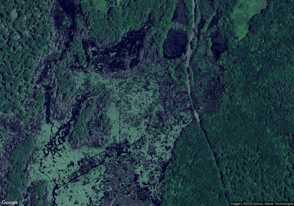
Map
Nearby Homes
- 29, 31, 33 Ladd Rd
- 38 N Sullivan Rd
- 216 Brookfield Rd
- 68 - 74 Sturbridge Rd
- Lot 3 0 N Sullivan Rd
- Lot 6 0 N Sullivan Rd
- Lot 5 0 N Sullivan Rd
- Lot 4 0 N Sullivan Rd
- 204 Brookfield Rd
- 6 S Sullivan Rd
- 45 Jennings Rd
- 52 & 54 Wells Park Rd
- 74 Hill Rd Unit A
- 49 Jennings Rd
- 28 Southbridge Rd Unit 402
- 0 Worcester Rd
- 86 Berry Corner Rd
- 5 Carpenter Hill Rd
- 57 Carpenter Hill Rd
- 149 Berry Corner Rd