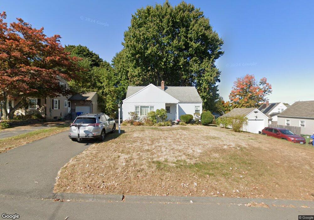
10 Lancaster Rd Bristol, CT 06010
Forestville NeighborhoodEstimated Value: $298,352 - $527,000
6
Beds
3
Baths
3,136
Sq Ft
$126/Sq Ft
Est. Value
About This Home
This home is located at 10 Lancaster Rd, Bristol, CT 06010 and is currently estimated at $394,338, approximately $125 per square foot. 10 Lancaster Rd is a home located in Hartford County with nearby schools including Northeast Middle School, Bristol Eastern High School, and St Matthew School.
Ownership History
Date
Name
Owned For
Owner Type
Purchase Details
Closed on
Aug 29, 2003
Sold by
Tpp Assoc B Ave Lp
Bought by
Harrington Frederick J and Harrington Linda M
Current Estimated Value
Home Financials for this Owner
Home Financials are based on the most recent Mortgage that was taken out on this home.
Original Mortgage
$109,300
Interest Rate
5.69%
Create a Home Valuation Report for This Property
The Home Valuation Report is an in-depth analysis detailing your home's value as well as a comparison with similar homes in the area
Home Values in the Area
Average Home Value in this Area
Purchase History
| Date | Buyer | Sale Price | Title Company |
|---|---|---|---|
| Harrington Frederick J | $145,835 | -- |
Source: Public Records
Mortgage History
| Date | Status | Borrower | Loan Amount |
|---|---|---|---|
| Open | Harrington Frederick J | $178,000 | |
| Closed | Harrington Frederick J | $192,500 | |
| Closed | Harrington Frederick J | $157,500 | |
| Closed | Harrington Frederick J | $109,300 |
Source: Public Records
Tax History
| Year | Tax Paid | Tax Assessment Tax Assessment Total Assessment is a certain percentage of the fair market value that is determined by local assessors to be the total taxable value of land and additions on the property. | Land | Improvement |
|---|---|---|---|---|
| 2025 | $7,255 | $214,970 | $36,470 | $178,500 |
| 2024 | $6,847 | $214,970 | $36,470 | $178,500 |
| 2023 | $6,524 | $214,970 | $36,470 | $178,500 |
| 2022 | $6,000 | $156,450 | $29,610 | $126,840 |
| 2021 | $6,000 | $156,450 | $29,610 | $126,840 |
| 2020 | $6,000 | $156,450 | $29,610 | $126,840 |
| 2019 | $5,953 | $156,450 | $29,610 | $126,840 |
| 2018 | $5,770 | $156,450 | $29,610 | $126,840 |
| 2017 | $5,294 | $146,930 | $36,820 | $110,110 |
| 2016 | $5,294 | $146,930 | $36,820 | $110,110 |
| 2015 | $5,085 | $146,930 | $36,820 | $110,110 |
| 2014 | $5,085 | $146,930 | $36,820 | $110,110 |
Source: Public Records
Map
Nearby Homes
- 81 Lancaster Rd
- 20 Westchester Dr
- 79 Beths Ave Unit 100
- 941 Farmington Ave
- 66 Beths Ave Unit 15
- 10 Pine Ct
- 3 Sandra St
- 97 Jacqueline Dr
- 1325 Farmington Ave Unit 52
- 64 Fanway Ave
- 1469 Farmington Ave Unit 72
- 35 Jasmine St
- 30 Adeline Ave
- 206 Burton St
- 102 Renee St
- 64 Douglas Rd
- 46 Vance Rd
- 92 Garfield Rd
- 135 Jerome Ave
- 63 Jerome Ave
- 18 Lancaster Rd
- 687 Stafford Ave
- 24 Lancaster Rd
- 21 Lancaster Rd
- 36 Lancaster Rd
- 695 Stafford Ave
- 659 Stafford Ave
- 1040 Farmington Ave
- 1034 Farmington Ave
- 674 Stafford Ave
- 661 Stafford Ave
- 670 Stafford Ave
- 657 Stafford Ave
- 1028 Farmington Ave
- 680 Stafford Ave
- 1046 Farmington Ave
- 690 Stafford Ave
- 1022 Farmington Ave
- 5 Harper Ct
- 694 Stafford Ave
Your Personal Tour Guide
Ask me questions while you tour the home.