10 Laurelwood Dr New Fairfield, CT 06812
Estimated Value: $772,883 - $913,000
4
Beds
3
Baths
3,194
Sq Ft
$262/Sq Ft
Est. Value
About This Home
This home is located at 10 Laurelwood Dr, New Fairfield, CT 06812 and is currently estimated at $836,971, approximately $262 per square foot. 10 Laurelwood Dr is a home located in Fairfield County with nearby schools including Meeting House Hill School, New Fairfield Middle School, and New Fairfield High School.
Ownership History
Date
Name
Owned For
Owner Type
Purchase Details
Closed on
May 2, 2007
Sold by
Vieth Denise
Bought by
Wexler William and Wexler Stephanie
Current Estimated Value
Purchase Details
Closed on
May 1, 2007
Sold by
Dalton Thomas R and Dalton Kathleen E
Bought by
Weichert Relocation In
Purchase Details
Closed on
Apr 9, 1997
Sold by
Vallerie Michael and Valerie Joann
Bought by
Dalton Thomas R and Dalton Kathleen
Home Financials for this Owner
Home Financials are based on the most recent Mortgage that was taken out on this home.
Original Mortgage
$254,000
Interest Rate
7.55%
Mortgage Type
Unknown
Purchase Details
Closed on
Jun 4, 1991
Sold by
Nickoletos Florentia
Bought by
Vallerie Michael and Valerie Joann
Home Financials for this Owner
Home Financials are based on the most recent Mortgage that was taken out on this home.
Original Mortgage
$155,600
Interest Rate
9%
Mortgage Type
Unknown
Create a Home Valuation Report for This Property
The Home Valuation Report is an in-depth analysis detailing your home's value as well as a comparison with similar homes in the area
Home Values in the Area
Average Home Value in this Area
Purchase History
| Date | Buyer | Sale Price | Title Company |
|---|---|---|---|
| Wexler William | $565,000 | -- | |
| Grsco Fre Re | $565,000 | -- | |
| Weichert Relocation In | $565,000 | -- | |
| Dalton Thomas R | $317,500 | -- | |
| Vallerie Michael | $253,508 | -- |
Source: Public Records
Mortgage History
| Date | Status | Borrower | Loan Amount |
|---|---|---|---|
| Previous Owner | Vallerie Michael | $254,000 | |
| Previous Owner | Vallerie Michael | $155,000 | |
| Previous Owner | Vallerie Michael | $155,600 |
Source: Public Records
Tax History Compared to Growth
Tax History
| Year | Tax Paid | Tax Assessment Tax Assessment Total Assessment is a certain percentage of the fair market value that is determined by local assessors to be the total taxable value of land and additions on the property. | Land | Improvement |
|---|---|---|---|---|
| 2025 | $11,651 | $442,500 | $129,000 | $313,500 |
| 2024 | $10,887 | $298,100 | $117,800 | $180,300 |
| 2023 | $10,404 | $298,100 | $117,800 | $180,300 |
| 2022 | $9,679 | $298,100 | $117,800 | $180,300 |
| 2021 | $9,387 | $298,100 | $117,800 | $180,300 |
| 2020 | $9,116 | $298,100 | $117,800 | $180,300 |
| 2019 | $8,980 | $290,600 | $124,300 | $166,300 |
| 2018 | $8,887 | $290,600 | $124,300 | $166,300 |
| 2017 | $8,666 | $290,600 | $124,300 | $166,300 |
| 2016 | $8,334 | $290,600 | $124,300 | $166,300 |
| 2015 | $8,334 | $290,600 | $124,300 | $166,300 |
| 2014 | $9,464 | $362,900 | $141,500 | $221,400 |
Source: Public Records
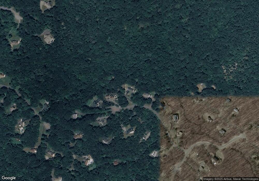
Map
Nearby Homes
- 6 Pinewood Dr
- 3 Alexandra Dr
- 155 Shortwoods Rd
- 153 Shortwoods Rd
- 256 State Route 39
- 54 Lavelle Ave
- 15 Flak Ln
- 2 Pine Hill Rd
- 11 Knollcrest Rd
- 66 Connecticut 37
- 64 Connecticut 37
- 68 Connecticut 37
- 70 Connecticut 37
- 7 Candle Hill Rd
- 8 Heritage Island Rd
- 4 Harbour View Dr
- 6A Rock Ridge Ct
- 32 Sail Harbour Dr
- 2 Deer Hill Rd
- 2 Coburn Rd W