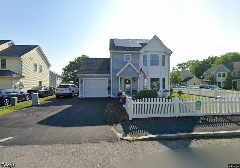
10 Ledge Way Lowell, MA 01852
Sacred Heart NeighborhoodEstimated Value: $478,000 - $521,000
3
Beds
2
Baths
1,180
Sq Ft
$416/Sq Ft
Est. Value
About This Home
This home is located at 10 Ledge Way, Lowell, MA 01852 and is currently estimated at $490,737, approximately $415 per square foot. 10 Ledge Way is a home located in Middlesex County with nearby schools including Abraham Lincoln Elementary School, Moody Elementary School, and Greenhalge Elementary School.
Ownership History
Date
Name
Owned For
Owner Type
Purchase Details
Closed on
Nov 30, 2006
Sold by
Residents 1St Dev Corp
Bought by
Tremblay Edward H
Current Estimated Value
Home Financials for this Owner
Home Financials are based on the most recent Mortgage that was taken out on this home.
Original Mortgage
$219,920
Outstanding Balance
$131,850
Interest Rate
6.36%
Mortgage Type
Purchase Money Mortgage
Estimated Equity
$358,887
Create a Home Valuation Report for This Property
The Home Valuation Report is an in-depth analysis detailing your home's value as well as a comparison with similar homes in the area
Home Values in the Area
Average Home Value in this Area
Purchase History
| Date | Buyer | Sale Price | Title Company |
|---|---|---|---|
| Tremblay Edward H | $274,900 | -- | |
| Tremblay Edward H | $274,900 | -- |
Source: Public Records
Mortgage History
| Date | Status | Borrower | Loan Amount |
|---|---|---|---|
| Open | Tremblay Edward H | $219,920 | |
| Closed | Tremblay Edward H | $219,920 |
Source: Public Records
Tax History Compared to Growth
Tax History
| Year | Tax Paid | Tax Assessment Tax Assessment Total Assessment is a certain percentage of the fair market value that is determined by local assessors to be the total taxable value of land and additions on the property. | Land | Improvement |
|---|---|---|---|---|
| 2025 | $4,616 | $402,100 | $139,800 | $262,300 |
| 2024 | $4,681 | $393,000 | $130,700 | $262,300 |
| 2023 | $5,293 | $426,200 | $113,600 | $312,600 |
| 2022 | $4,826 | $380,300 | $103,300 | $277,000 |
| 2021 | $4,879 | $362,500 | $89,800 | $272,700 |
| 2020 | $3,459 | $258,900 | $85,400 | $173,500 |
| 2019 | $3,288 | $234,200 | $79,100 | $155,100 |
| 2018 | $3,287 | $228,400 | $75,300 | $153,100 |
| 2017 | $3,226 | $216,200 | $68,500 | $147,700 |
| 2016 | $3,171 | $209,200 | $59,800 | $149,400 |
| 2015 | $3,017 | $194,900 | $59,800 | $135,100 |
| 2013 | $2,844 | $189,500 | $66,800 | $122,700 |
Source: Public Records
Map
Nearby Homes
- 1514 Gorham St Unit 3
- 1514 Gorham St Unit 4
- 1514 Gorham St Unit 2
- 1514 Gorham St Unit 5
- 1400 Gorham St Unit 32
- 1400 Gorham St Unit 30
- 7 Gorham St Unit 36
- 29 Gorham St
- 53 Gorham St
- 20 Woodland Dr Unit 330
- 20 Woodland Dr Unit 379
- 59 Fay St
- 106 Lundberg St Unit 6
- 64 Bolton St
- 56 Arnold Ave
- 4 Donald Ave
- 22 Juniper St
- 34 Manning Rd
- 108 Marshall Rd
- 1 Huntoon Ave
- 71 Ecklund Dr
- 24 Ledge Way
- 45-47 River Edge Rd
- 9 Ledge Way
- 80 Ecklund Dr
- 39 Rivers Edge Rd
- 3 Ledge Way
- 88 Ecklund Dr
- 74 Ecklund Dr
- 92 Ecklund Dr Unit 94
- 70 Ecklund Dr
- 95 Ecklund Dr Unit 97
- 45 Rivers Edge Rd Unit 47
- 57 Ecklund Dr
- 1506 Gorham St Unit 302
- 1506 Gorham St Unit 107
- 1506 Gorham St Unit 207
- 1506 Gorham St Unit 204
- 1506 Gorham St Unit 203
- 1506 Gorham St Unit 110