Estimated Value: $640,647 - $818,000
4
Beds
8
Baths
2,588
Sq Ft
$279/Sq Ft
Est. Value
About This Home
This home is located at 10 Lee Cir, Kent, CT 06757 and is currently estimated at $721,912, approximately $278 per square foot. 10 Lee Cir is a home located in Litchfield County with nearby schools including Kent Center School, Housatonic Valley Regional High School, and Kent School.
Ownership History
Date
Name
Owned For
Owner Type
Purchase Details
Closed on
Jul 27, 1994
Sold by
Skydell Tr Norman
Bought by
Podritske Edward A and Podritske Marlene J
Current Estimated Value
Home Financials for this Owner
Home Financials are based on the most recent Mortgage that was taken out on this home.
Original Mortgage
$188,000
Interest Rate
8.25%
Mortgage Type
Unknown
Create a Home Valuation Report for This Property
The Home Valuation Report is an in-depth analysis detailing your home's value as well as a comparison with similar homes in the area
Home Values in the Area
Average Home Value in this Area
Purchase History
| Date | Buyer | Sale Price | Title Company |
|---|---|---|---|
| Podritske Edward A | $235,000 | -- |
Source: Public Records
Mortgage History
| Date | Status | Borrower | Loan Amount |
|---|---|---|---|
| Open | Podritske Edward A | $160,000 | |
| Closed | Podritske Edward A | $188,000 |
Source: Public Records
Tax History
| Year | Tax Paid | Tax Assessment Tax Assessment Total Assessment is a certain percentage of the fair market value that is determined by local assessors to be the total taxable value of land and additions on the property. | Land | Improvement |
|---|---|---|---|---|
| 2025 | $6,729 | $398,900 | $66,500 | $332,400 |
| 2024 | $6,219 | $398,900 | $66,500 | $332,400 |
| 2023 | $5,495 | $292,900 | $67,800 | $225,100 |
| 2022 | $5,428 | $292,300 | $67,800 | $224,500 |
| 2021 | $5,428 | $292,300 | $67,800 | $224,500 |
| 2020 | $5,440 | $292,300 | $67,800 | $224,500 |
| 2019 | $7,889 | $292,300 | $67,800 | $224,500 |
| 2018 | $8,364 | $298,500 | $99,800 | $198,700 |
| 2017 | $8,364 | $298,500 | $99,800 | $198,700 |
| 2016 | $5,472 | $298,500 | $99,800 | $198,700 |
| 2015 | $5,331 | $298,500 | $99,800 | $198,700 |
| 2014 | $5,083 | $298,500 | $99,800 | $198,700 |
Source: Public Records
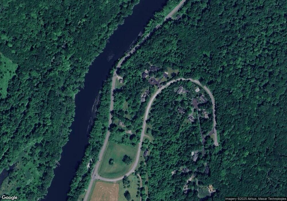
Map
Nearby Homes
- 132 S Kent Rd
- 16 Birch Hill Ln
- 46 Spooner Hill Rd
- 0 Spooner Hill Rd Unit 24077524
- 168 Cobble Rd
- 103 Geer Mountain Rd
- 0 Aldrich Rd
- 14 SE Mountain Rd
- 101 S Kent Rd
- 100 S Kent Rd
- 591 Bog Hollow Rd
- 6 River Bend Ln
- 32 Long River Rd
- 60 Long River Rd
- 41 Long River Rd
- 1 Pond View Ln
- 00 Kent Cornwall Rd
- 23 Mauwee Brook Rd
- 105 Sand Hill Rd
- 308 Skiff Mountain Rd
- 12 Conboy Heights
- 57 Kent Rd
- 15 Saddle Ridge Farm Rd
- 4 Lee Cir
- 2 Lee Cir
- 9 Conboy Heights
- 5 Conboy Heights
- 8 Conboy Heights
- 70 Kent Rd
- 6 Angel Vista Dr
- 73 Kent Rd
- 4 Conboy Heights
- 10 Angel Vista Dr
- 39 Kent Rd
- 12 Angel Vista Dr
- 9 Angel Vista Dr
- 14 Angel Vista Dr
- 16 Angel Vista Dr
- 34 Kent Rd
- 80 Kent Rd
Your Personal Tour Guide
Ask me questions while you tour the home.