10 Lenape Trail Branchburg, NJ 08876
Branchburg Township NeighborhoodEstimated Value: $703,473 - $798,000
--
Bed
--
Bath
2,064
Sq Ft
$371/Sq Ft
Est. Value
About This Home
This home is located at 10 Lenape Trail, Branchburg, NJ 08876 and is currently estimated at $765,618, approximately $370 per square foot. 10 Lenape Trail is a home located in Somerset County with nearby schools including Whiton Elementary School, Stony Brook School, and Branchburg Central Middle School.
Ownership History
Date
Name
Owned For
Owner Type
Purchase Details
Closed on
Jun 30, 1996
Sold by
Simone Frank
Bought by
Torng Ming and Torng Liyin
Current Estimated Value
Home Financials for this Owner
Home Financials are based on the most recent Mortgage that was taken out on this home.
Original Mortgage
$187,000
Interest Rate
7.48%
Purchase Details
Closed on
Mar 31, 1989
Sold by
Felicia Corp
Bought by
Simone Frank S and Simone Linda
Create a Home Valuation Report for This Property
The Home Valuation Report is an in-depth analysis detailing your home's value as well as a comparison with similar homes in the area
Home Values in the Area
Average Home Value in this Area
Purchase History
| Date | Buyer | Sale Price | Title Company |
|---|---|---|---|
| Torng Ming | $227,000 | -- | |
| Simone Frank S | $255,500 | -- |
Source: Public Records
Mortgage History
| Date | Status | Borrower | Loan Amount |
|---|---|---|---|
| Previous Owner | Torng Ming | $187,000 |
Source: Public Records
Tax History Compared to Growth
Tax History
| Year | Tax Paid | Tax Assessment Tax Assessment Total Assessment is a certain percentage of the fair market value that is determined by local assessors to be the total taxable value of land and additions on the property. | Land | Improvement |
|---|---|---|---|---|
| 2025 | $10,496 | $639,400 | $164,900 | $474,500 |
| 2024 | $10,496 | $581,800 | $164,900 | $416,900 |
| 2023 | $10,221 | $546,300 | $164,900 | $381,400 |
| 2022 | $9,940 | $504,800 | $164,900 | $339,900 |
| 2021 | $9,847 | $465,800 | $154,900 | $310,900 |
| 2020 | $9,704 | $452,800 | $154,900 | $297,900 |
| 2019 | $9,553 | $443,300 | $154,900 | $288,400 |
| 2018 | $9,435 | $436,600 | $148,900 | $287,700 |
| 2017 | $9,453 | $434,400 | $142,900 | $291,500 |
| 2016 | $9,358 | $427,300 | $131,900 | $295,400 |
| 2015 | $9,057 | $414,300 | $131,900 | $282,400 |
| 2014 | $8,813 | $408,000 | $124,400 | $283,600 |
Source: Public Records
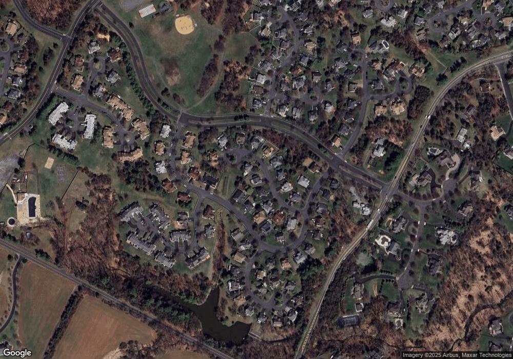
Map
Nearby Homes
- 23 Buffalo Hollow Rd
- 6 Heritage Ct
- 33 Iroquois Trail
- 22 Champions Cir
- 404 Azalea Terrace
- 414 W County Dr
- 82 Vollers Dr
- 5 Walnut Dr
- 11 Forty Oaks Rd
- 46 Strawberry Hill Rd
- 103 Red Crest Ln Unit 1C
- 203 Red Crest Ln
- 20 Oriole Ln
- 12 Winthrop Dr
- 1509 Longley Ct Ondo
- 3366 Us Highway 22
- 1304 Churchill Cir
- 713 Colonial Ct
- 720 Colonial Ct
- 3366 Round Hill Rd
- 8 Lenape Trail
- 12 Lenape Trail
- 26 Mohawk Trail
- 28 Mohawk Trail
- 7 Lenape Trail
- 6 Lenape Trail
- 9 Lenape Trail
- 5 Lenape Trail
- 11 Lenape Trail
- 30 Mohawk Trail
- 13 Lenape Trail
- 20 Mohawk Trail
- 4 Lenape Trail
- 15 Lenape Trail
- 19 Lenape Trail
- 18 Mohawk Trail
- 50 Mohawk Trail
- 1 Buffalo Hollow Rd
- 32 Mohawk Trail
- 17 Lenape Trail