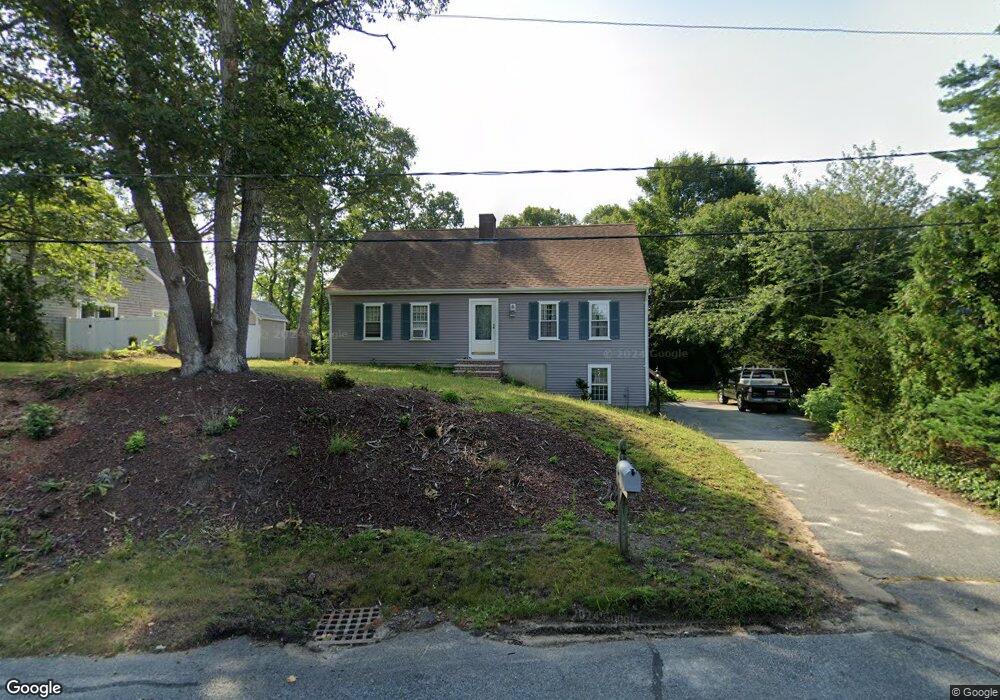
10 Lexington Dr Harwich, MA 02645
Harwich Center NeighborhoodEstimated Value: $640,173 - $776,000
3
Beds
2
Baths
1,612
Sq Ft
$428/Sq Ft
Est. Value
About This Home
This home is located at 10 Lexington Dr, Harwich, MA 02645 and is currently estimated at $689,793, approximately $427 per square foot. 10 Lexington Dr is a home located in Barnstable County with nearby schools including Harwich Elementary School, Chatham Elementary School, and Monomoy Regional Middle School.
Ownership History
Date
Name
Owned For
Owner Type
Purchase Details
Closed on
Nov 1, 1991
Sold by
Butterfield Funding
Bought by
Wallace Robert S and Wallace Mary A
Current Estimated Value
Home Financials for this Owner
Home Financials are based on the most recent Mortgage that was taken out on this home.
Original Mortgage
$86,150
Interest Rate
8.9%
Mortgage Type
Purchase Money Mortgage
Purchase Details
Closed on
Oct 3, 1991
Sold by
Whitney Carol Ann
Bought by
Butterfield Funding
Home Financials for this Owner
Home Financials are based on the most recent Mortgage that was taken out on this home.
Original Mortgage
$86,150
Interest Rate
8.9%
Mortgage Type
Purchase Money Mortgage
Create a Home Valuation Report for This Property
The Home Valuation Report is an in-depth analysis detailing your home's value as well as a comparison with similar homes in the area
Home Values in the Area
Average Home Value in this Area
Purchase History
| Date | Buyer | Sale Price | Title Company |
|---|---|---|---|
| Wallace Robert S | $91,000 | -- | |
| Butterfield Funding | $84,000 | -- |
Source: Public Records
Mortgage History
| Date | Status | Borrower | Loan Amount |
|---|---|---|---|
| Closed | Wallace Robert S | $86,150 |
Source: Public Records
Tax History Compared to Growth
Tax History
| Year | Tax Paid | Tax Assessment Tax Assessment Total Assessment is a certain percentage of the fair market value that is determined by local assessors to be the total taxable value of land and additions on the property. | Land | Improvement |
|---|---|---|---|---|
| 2025 | $3,184 | $538,700 | $190,600 | $348,100 |
| 2024 | $3,121 | $517,600 | $179,800 | $337,800 |
| 2023 | $3,015 | $454,100 | $163,500 | $290,600 |
| 2022 | $2,971 | $366,300 | $142,200 | $224,100 |
| 2021 | $2,889 | $335,900 | $129,200 | $206,700 |
| 2020 | $2,869 | $328,600 | $127,800 | $200,800 |
| 2019 | $2,770 | $319,500 | $122,800 | $196,700 |
| 2018 | $2,699 | $297,800 | $111,600 | $186,200 |
| 2017 | $2,510 | $279,800 | $96,700 | $183,100 |
| 2016 | $2,447 | $269,800 | $96,700 | $173,100 |
| 2015 | $2,378 | $265,100 | $94,800 | $170,300 |
| 2014 | $2,299 | $262,200 | $96,800 | $165,400 |
Source: Public Records
Map
Nearby Homes
- 11 Windjammer Rd
- 159 Pleasant Lake Ave
- 116 Parallel St
- 44 Beriah Brooks Rd
- 303 Bank St
- 4 Hope Ln
- 15 Shannon Rd
- 28 Dale Rd
- 2 Bassett Woods Rd
- 21 Princes St
- 135 Sisson Rd
- 106 Chatham Rd
- 957 Orleans Rd
- 12 Old Campground Rd
- 18 Old Campground
- 3 Bentley Rd
- 1025 Orleans-Harwich Rd
- 9 Jason Ln
- 194 John Joseph Rd
- 6 Lexington Dr
- 14 Lexington Dr
- 66 Pleasant Lake Ave
- 60 Pleasant Lake Ave
- 2 Concord Dr
- 7 Lexington Dr
- 58 Pleasant Lake Ave
- 3 Lexington Dr
- 5 Concord Dr
- 3 Weston Woods Rd
- 6 Concord Dr
- 7 Weston Woods Rd
- 61 Pleasant Lake Ave
- 69 Pleasant Lake Ave
- 76 Pleasant Lake Ave
- 76 Pleasant Lake Ave Unit 2
- 57 Pleasant Lake Ave
- 9 Weston Woods Rd
- 9 Concord Dr
- 73 Pleasant Lake Ave