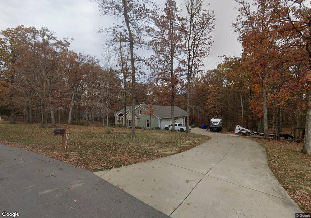
10 Lexington Oaks Ct Foristell, MO 63348
Estimated Value: $679,000 - $745,397
3
Beds
3
Baths
2,270
Sq Ft
$319/Sq Ft
Est. Value
About This Home
This home is located at 10 Lexington Oaks Ct, Foristell, MO 63348 and is currently estimated at $724,849, approximately $319 per square foot. 10 Lexington Oaks Ct is a home located in St. Charles County.
Ownership History
Date
Name
Owned For
Owner Type
Purchase Details
Closed on
May 25, 2021
Sold by
Yoder David M and Yoder Amy K
Bought by
Yoder David Matthew and Yoder Amy Kathleen
Current Estimated Value
Purchase Details
Closed on
Sep 10, 2009
Sold by
Koehler Darrell and Koehler Jennifer
Bought by
Yoder David M and Yoder Amy K
Purchase Details
Closed on
Jul 16, 2001
Sold by
Dubray Roberta A and Dubray Thomas
Bought by
Koehler Darrell and Koehler Jennifer
Home Financials for this Owner
Home Financials are based on the most recent Mortgage that was taken out on this home.
Original Mortgage
$43,000
Interest Rate
7.18%
Mortgage Type
Purchase Money Mortgage
Create a Home Valuation Report for This Property
The Home Valuation Report is an in-depth analysis detailing your home's value as well as a comparison with similar homes in the area
Home Values in the Area
Average Home Value in this Area
Purchase History
| Date | Buyer | Sale Price | Title Company |
|---|---|---|---|
| Yoder David Matthew | -- | None Available | |
| Yoder David M | $69,000 | Inv | |
| Koehler Darrell | -- | -- |
Source: Public Records
Mortgage History
| Date | Status | Borrower | Loan Amount |
|---|---|---|---|
| Previous Owner | Koehler Darrell | $43,000 |
Source: Public Records
Tax History Compared to Growth
Tax History
| Year | Tax Paid | Tax Assessment Tax Assessment Total Assessment is a certain percentage of the fair market value that is determined by local assessors to be the total taxable value of land and additions on the property. | Land | Improvement |
|---|---|---|---|---|
| 2025 | $6,323 | $112,681 | -- | -- |
| 2023 | $6,323 | $99,742 | $0 | $0 |
| 2022 | $5,831 | $85,837 | $0 | $0 |
| 2021 | $5,837 | $85,837 | $0 | $0 |
| 2020 | $5,475 | $77,238 | $0 | $0 |
| 2019 | $5,081 | $77,238 | $0 | $0 |
| 2018 | $4,863 | $70,440 | $0 | $0 |
| 2017 | $4,863 | $70,440 | $0 | $0 |
| 2016 | $4,869 | $67,588 | $0 | $0 |
| 2015 | $4,805 | $67,588 | $0 | $0 |
| 2014 | $4,277 | $64,559 | $0 | $0 |
Source: Public Records
Map
Nearby Homes
- (3+/- Acres) Highway T
- 114 Town Center Ct
- 214 Liberty Valley Dr
- 2 Burlington at Liberty Commons
- 2 Arlington at Liberty Commons
- 808 Colony Ridge Ct
- 807 Colony Ridge Ct
- 216 Liberty Valley Dr
- 2 Fieldcrest at Liberty Commons
- 510 Founders Way
- 2 Commons
- 90 Town Centre Ct
- 511 Founders Way
- 704 Celebration Dr
- 2 Belmont at Liberty Commons
- 708 Celebration Dr
- 3 Sterling at Liberty Manors
- 302 Freedom Dr
- 2 Berwick at Liberty Manors
- 2 Aspen II at Liberty Manors
- 12 Lexington Oaks Ct
- 15 Lexington Oaks Ct
- 11 Lexington Oaks Ct
- 14 Lexington Oaks Ct
- 16 Elm Haven Dr
- 17 Lexington Oaks Ct
- 16 Lexington Oaks Ct
- 24 Hickory Falls Ct
- 18 Lexington Oaks Ct
- 19 Lexington Oaks Ct
- 25 Hickory Falls Ct
- 0278ac Highway T
- 100043ac Highway T
- 7+acres Highway T
- 043+/- Ac Highway T
- 80acres Highway T
- 25+/- Ac Highway T
- 76+/- Ac Highway T
- 287 Hwy T Ac
- 287AC Hwy T