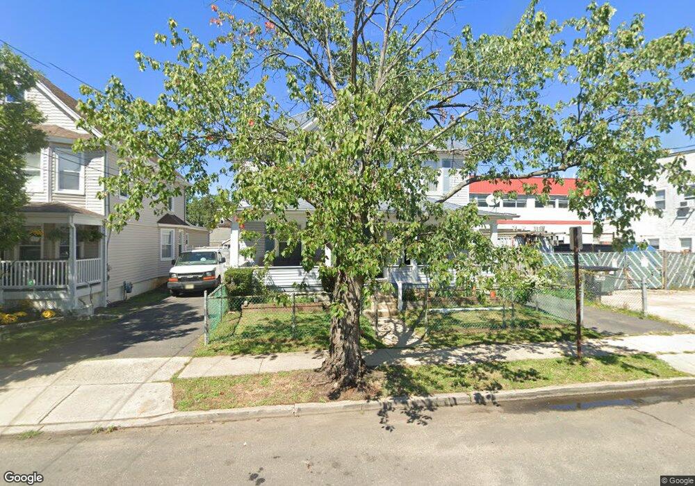
10 Locust Ave Unit 12 Red Bank, NJ 07701
Estimated Value: $643,000 - $829,000
3
Beds
2
Baths
1,492
Sq Ft
$472/Sq Ft
Est. Value
About This Home
This home is located at 10 Locust Ave Unit 12, Red Bank, NJ 07701 and is currently estimated at $703,634, approximately $471 per square foot. 10 Locust Ave Unit 12 is a home located in Monmouth County with nearby schools including Red Bank Primary School, Red Bank Middle School, and Red Bank Reg High School.
Ownership History
Date
Name
Owned For
Owner Type
Purchase Details
Closed on
Apr 13, 2007
Sold by
Bonilla Ruben and Bonilla Fluvia
Bought by
Carroll Thomas
Current Estimated Value
Home Financials for this Owner
Home Financials are based on the most recent Mortgage that was taken out on this home.
Original Mortgage
$473,600
Outstanding Balance
$286,981
Interest Rate
6.19%
Mortgage Type
Purchase Money Mortgage
Estimated Equity
$416,653
Purchase Details
Closed on
May 27, 1998
Sold by
Berentes Stephen
Bought by
Bonilla Ruben and Bonilla Fluvia
Home Financials for this Owner
Home Financials are based on the most recent Mortgage that was taken out on this home.
Original Mortgage
$90,000
Interest Rate
7.09%
Create a Home Valuation Report for This Property
The Home Valuation Report is an in-depth analysis detailing your home's value as well as a comparison with similar homes in the area
Home Values in the Area
Average Home Value in this Area
Purchase History
| Date | Buyer | Sale Price | Title Company |
|---|---|---|---|
| Carroll Thomas | $592,000 | None Available | |
| Bonilla Ruben | $135,000 | -- |
Source: Public Records
Mortgage History
| Date | Status | Borrower | Loan Amount |
|---|---|---|---|
| Open | Carroll Thomas | $473,600 | |
| Previous Owner | Bonilla Ruben | $90,000 |
Source: Public Records
Tax History Compared to Growth
Tax History
| Year | Tax Paid | Tax Assessment Tax Assessment Total Assessment is a certain percentage of the fair market value that is determined by local assessors to be the total taxable value of land and additions on the property. | Land | Improvement |
|---|---|---|---|---|
| 2025 | $10,025 | $576,500 | $179,600 | $396,900 |
| 2024 | $9,775 | $530,700 | $149,600 | $381,100 |
| 2023 | $9,775 | $511,500 | $141,000 | $370,500 |
| 2022 | $9,637 | $484,300 | $129,600 | $354,700 |
| 2021 | $9,147 | $430,800 | $108,000 | $322,800 |
| 2020 | $9,147 | $402,600 | $108,000 | $294,600 |
| 2019 | $8,596 | $388,800 | $103,000 | $285,800 |
| 2018 | $8,273 | $378,300 | $103,000 | $275,300 |
| 2017 | $7,731 | $366,400 | $93,000 | $273,400 |
| 2016 | $7,573 | $359,400 | $93,000 | $266,400 |
| 2015 | $7,075 | $348,000 | $131,500 | $216,500 |
| 2014 | $7,912 | $413,600 | $193,000 | $220,600 |
Source: Public Records
Map
Nearby Homes
- 32 Earl St
- 195 Bridge Ave
- 24 River St
- 38 Bank St
- 24 Cedar Crossing
- 167 River St
- 244 S Bridge Ave
- 42 Chestnut St
- 23 Cedar Crossing
- 3 Cedar Crossing
- 28 Riverside Ave Unit 2G
- 28 Riverside Ave Unit 2F
- 28 Riverside Ave Unit 1H
- 28 Riverside Ave Unit 9 G
- 44 Sunset Ave W
- 232 S Pearl St
- 49 Sunset Ave W
- 19 Sunset Ave E
- 253 Pearl St S
- 205 Maple Ave
- 14 Locust Ave
- 16 Locust Ave
- 106 Shrewsbury Ave
- 108 Shrewsbury Ave
- 20 Locust Ave
- 13 Deforrest Ave
- 9 Deforrest Ave Unit 11
- 22 Locust Ave
- 15 Deforrest Ave
- 11 Deforrest Ave
- 17 Deforrest Ave
- 11 Locust Ave
- 9 Locust Ave
- 24 Locust Ave
- 13 Locust Ave
- 19 Deforrest Ave
- 17 Locust Ave
- 19 Locust Ave
- 28 Locust Ave
- 96 Shrewsbury Ave