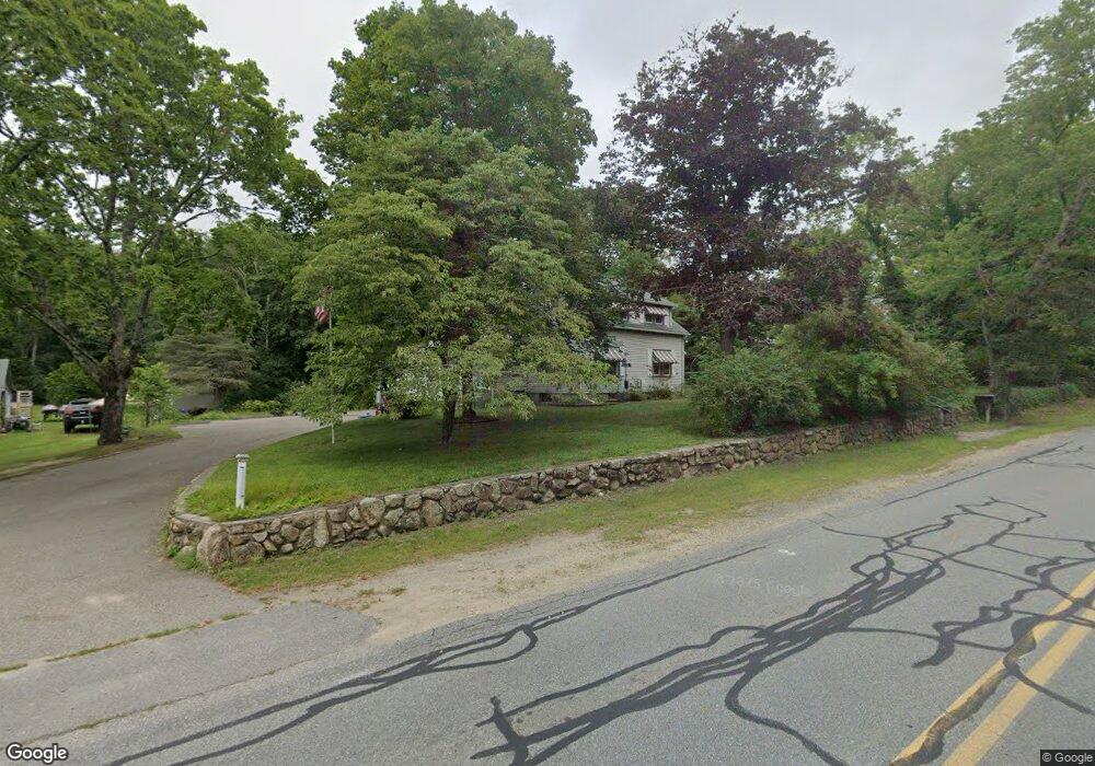
10 Locust St Middleboro, MA 02346
Estimated Value: $450,000 - $572,000
3
Beds
3
Baths
1,621
Sq Ft
$326/Sq Ft
Est. Value
About This Home
This home is located at 10 Locust St, Middleboro, MA 02346 and is currently estimated at $528,280, approximately $325 per square foot. 10 Locust St is a home located in Plymouth County with nearby schools including Mary K. Goode Elementary School and Samuel Fuller School.
Ownership History
Date
Name
Owned For
Owner Type
Purchase Details
Closed on
Jul 15, 2002
Sold by
Matthews Melville T and Matthews Edith E
Bought by
Harlow Deborah L
Current Estimated Value
Home Financials for this Owner
Home Financials are based on the most recent Mortgage that was taken out on this home.
Original Mortgage
$150,000
Outstanding Balance
$63,949
Interest Rate
6.79%
Mortgage Type
Purchase Money Mortgage
Estimated Equity
$464,331
Create a Home Valuation Report for This Property
The Home Valuation Report is an in-depth analysis detailing your home's value as well as a comparison with similar homes in the area
Home Values in the Area
Average Home Value in this Area
Purchase History
| Date | Buyer | Sale Price | Title Company |
|---|---|---|---|
| Harlow Deborah L | $187,500 | -- |
Source: Public Records
Mortgage History
| Date | Status | Borrower | Loan Amount |
|---|---|---|---|
| Open | Harlow Deborah L | $150,000 | |
| Previous Owner | Harlow Deborah L | $55,000 |
Source: Public Records
Tax History
| Year | Tax Paid | Tax Assessment Tax Assessment Total Assessment is a certain percentage of the fair market value that is determined by local assessors to be the total taxable value of land and additions on the property. | Land | Improvement |
|---|---|---|---|---|
| 2025 | $6,438 | $480,100 | $165,200 | $314,900 |
| 2024 | $5,898 | $435,600 | $157,300 | $278,300 |
| 2023 | $5,554 | $390,000 | $157,300 | $232,700 |
| 2022 | $5,761 | $374,600 | $136,800 | $237,800 |
| 2021 | $5,380 | $330,700 | $119,900 | $210,800 |
| 2020 | $5,226 | $329,100 | $119,900 | $209,200 |
| 2019 | $5,065 | $327,200 | $119,900 | $207,300 |
| 2018 | $4,536 | $290,800 | $113,900 | $176,900 |
| 2017 | $4,345 | $275,500 | $109,700 | $165,800 |
| 2016 | $3,857 | $242,300 | $100,600 | $141,700 |
| 2015 | $4,155 | $263,300 | $100,600 | $162,700 |
Source: Public Records
Map
Nearby Homes
- 27 Ridge Dr
- 27 Ridge Dr Unit 27
- 28 Wareham St
- 146 Miller St
- 480 Wareham St
- 441 Wareham St
- 386 Wareham St
- Rear Wareham St
- 425 Wareham St
- 37 Rocky Gutter St
- 53 Miller St
- 167 Old Miller St
- 8 Heather Ln
- 562 North Ave
- 124 Ashley Ln Unit 12-4
- 536 North Ave
- Lot5 Forbes Rd
- 7 Tispaquin St
- 57 Long Point Rd Unit 208
- 57 Long Point Rd Unit 104
Your Personal Tour Guide
Ask me questions while you tour the home.