10 Loper Rd Sharon, CT 06069
Estimated Value: $1,647,000 - $2,129,000
5
Beds
4
Baths
3,948
Sq Ft
$469/Sq Ft
Est. Value
About This Home
This home is located at 10 Loper Rd, Sharon, CT 06069 and is currently estimated at $1,850,993, approximately $468 per square foot. 10 Loper Rd is a home located in Litchfield County with nearby schools including Housatonic Valley Regional High School.
Ownership History
Date
Name
Owned For
Owner Type
Purchase Details
Closed on
Nov 1, 2010
Sold by
Melcher James L and Banasich April Ann
Bought by
Morgan Sarah and Bacsik Paul
Current Estimated Value
Purchase Details
Closed on
Dec 28, 2004
Sold by
Osier William R and Osier Catherine S
Bought by
Melcher James L and Benasich April Ann
Home Financials for this Owner
Home Financials are based on the most recent Mortgage that was taken out on this home.
Original Mortgage
$717,500
Interest Rate
5.74%
Create a Home Valuation Report for This Property
The Home Valuation Report is an in-depth analysis detailing your home's value as well as a comparison with similar homes in the area
Home Values in the Area
Average Home Value in this Area
Purchase History
| Date | Buyer | Sale Price | Title Company |
|---|---|---|---|
| Morgan Sarah | $1,100,000 | -- | |
| Morgan Sarah | $1,100,000 | -- | |
| Melcher James L | $1,025,000 | -- | |
| Melcher James L | $1,025,000 | -- |
Source: Public Records
Mortgage History
| Date | Status | Borrower | Loan Amount |
|---|---|---|---|
| Previous Owner | Melcher James L | $717,500 |
Source: Public Records
Tax History
| Year | Tax Paid | Tax Assessment Tax Assessment Total Assessment is a certain percentage of the fair market value that is determined by local assessors to be the total taxable value of land and additions on the property. | Land | Improvement |
|---|---|---|---|---|
| 2025 | $12,226 | $1,096,500 | $162,600 | $933,900 |
| 2024 | $11,568 | $1,096,500 | $162,600 | $933,900 |
| 2023 | $9,899 | $687,400 | $121,900 | $565,500 |
| 2022 | $9,899 | $687,400 | $121,900 | $565,500 |
| 2021 | $9,967 | $687,400 | $121,900 | $565,500 |
| 2020 | $9,899 | $687,400 | $121,900 | $565,500 |
| 2019 | $9,899 | $687,400 | $121,900 | $565,500 |
| 2018 | $10,677 | $726,300 | $145,900 | $580,400 |
| 2017 | $10,677 | $726,300 | $145,900 | $580,400 |
| 2016 | $10,459 | $726,300 | $145,900 | $580,400 |
| 2015 | $9,950 | $726,300 | $145,900 | $580,400 |
| 2014 | $9,623 | $726,300 | $145,900 | $580,400 |
Source: Public Records
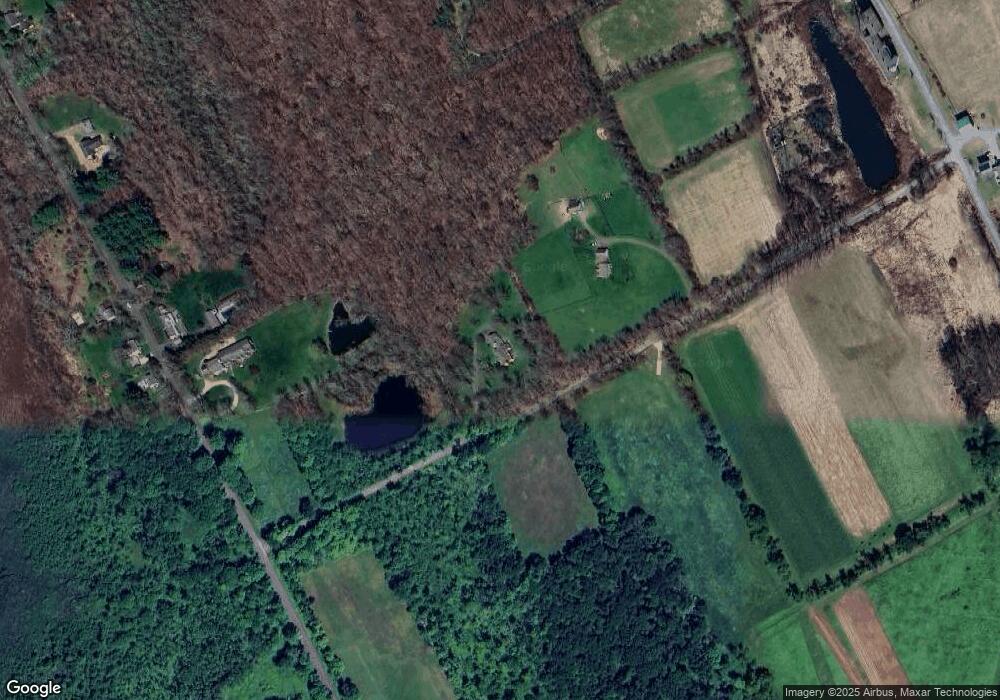
Map
Nearby Homes
- 70 Kent Rd S
- 3 W Mountain Rd
- 0 W Woods Rd Unit 2
- 25 Bowne Rd
- 1 W Woods Rd
- 143 Whitcomb Hill Rd
- 130 Sharon Mountain Rd
- 221 Fuller Mountain Rd
- 76 Fairchild Rd
- 45 Herrick Rd
- 30 Knibloe Hill Rd
- 308 Skiff Mountain Rd
- 50 Jewett Hill Rd
- 11 Old Paddock Ln
- 11 Day Rd
- 1 Great Elm Dr
- 59 Cornwall Bridge Rd
- 0 Stonewall Unit 39
- 331 Calkinstown Rd
- 23 Mauwee Brook Rd
- 14 Loper Rd
- 22 S Ellsworth Rd
- 20 S Ellsworth Rd
- 19 S Ellsworth Rd
- 21 S Ellsworth Rd
- 15 S Ellsworth Rd
- 31 Kings Hill Rd
- 14 S Ellsworth Rd
- 6 S Ellsworth Rd
- 25 Kings Hill Rd
- 5 S Ellsworth Rd
- 9 Kings Hill Rd
- 145 Westwoods Road 2
- 0 W Woods Road No 2
- 0 W Wood Rd #2
- 0 W Woods Rd #2
- 22 Kings Hill Rd
- 48 S Ellsworth Rd
- 14 Kings Hill Rd
- 55 Northrup Rd
Your Personal Tour Guide
Ask me questions while you tour the home.