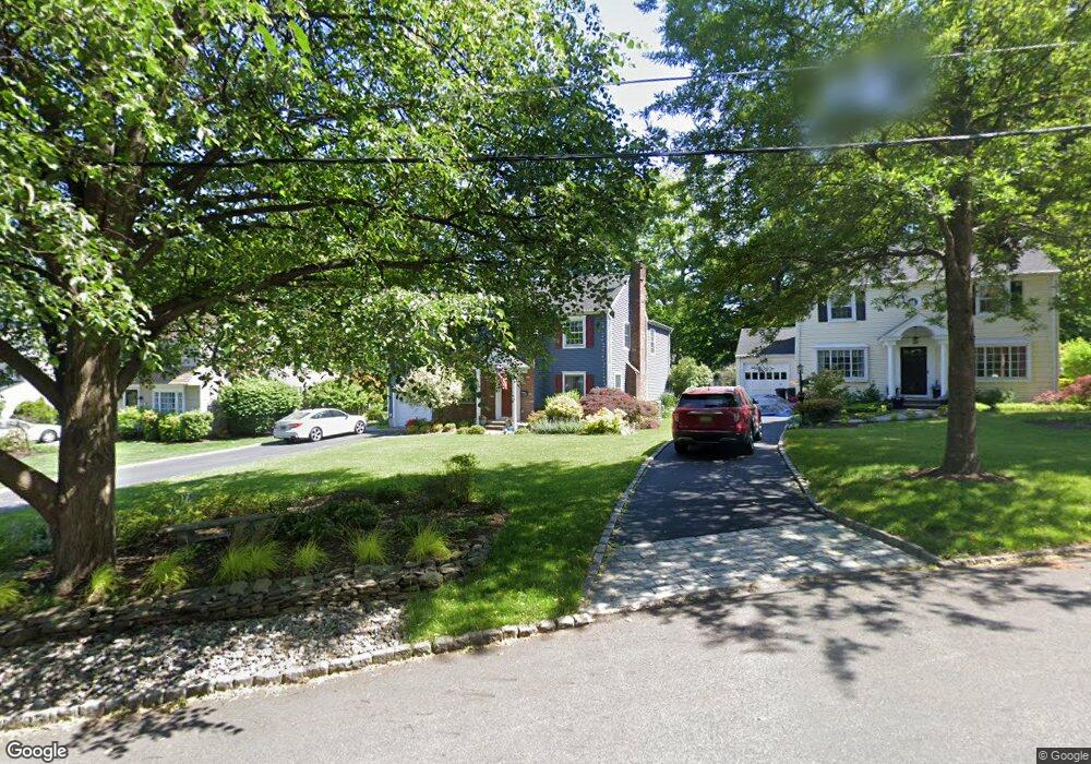
10 Lorraine Rd Madison, NJ 07940
Estimated Value: $816,000 - $1,374,000
Studio
--
Bath
3,153
Sq Ft
$367/Sq Ft
Est. Value
About This Home
This home is located at 10 Lorraine Rd, Madison, NJ 07940 and is currently estimated at $1,155,897, approximately $366 per square foot. 10 Lorraine Rd is a home located in Morris County with nearby schools including Central Avenue School, Madison Junior School, and Madison High School.
Ownership History
Date
Name
Owned For
Owner Type
Purchase Details
Closed on
May 16, 1997
Sold by
Murray Thomas W and Hibbard Mollie
Bought by
Mckinnon Luke and Mckinnon Sheryl R
Current Estimated Value
Purchase Details
Closed on
Jul 24, 1995
Sold by
Ling Michael J and Ling Francine M
Bought by
Murray Thomas W and Hibbard Mollie
Home Financials for this Owner
Home Financials are based on the most recent Mortgage that was taken out on this home.
Original Mortgage
$300,600
Interest Rate
7%
Create a Home Valuation Report for This Property
The Home Valuation Report is an in-depth analysis detailing your home's value as well as a comparison with similar homes in the area
Home Values in the Area
Average Home Value in this Area
Purchase History
We collect this data history from publicly available records. To have your information removed, we recommend requesting removal directly through your county’s website.
| Date | Buyer | Sale Price | Title Company |
|---|---|---|---|
| Mckinnon Luke | $348,000 | First American Title Ins Co | |
| Murray Thomas W | $334,000 | -- |
Source: Public Records
Mortgage History
We collect this data history from publicly available records. To have your information removed, we recommend requesting removal directly through your county’s website.
| Date | Status | Borrower | Loan Amount |
|---|---|---|---|
| Previous Owner | Murray Thomas W | $300,600 |
Source: Public Records
Tax History
| Year | Tax Paid | Tax Assessment Tax Assessment Total Assessment is a certain percentage of the fair market value that is determined by local assessors to be the total taxable value of land and additions on the property. | Land | Improvement |
|---|---|---|---|---|
| 2025 | $15,555 | $730,300 | $311,500 | $418,800 |
| 2024 | $15,037 | $730,300 | $311,500 | $418,800 |
| 2023 | $15,037 | $730,300 | $311,500 | $418,800 |
| 2022 | $14,796 | $730,300 | $311,500 | $418,800 |
| 2021 | $14,796 | $730,300 | $311,500 | $418,800 |
| 2020 | $14,643 | $730,300 | $311,500 | $418,800 |
| 2019 | $14,409 | $730,300 | $311,500 | $418,800 |
| 2018 | $14,044 | $730,300 | $311,500 | $418,800 |
| 2017 | $13,934 | $730,300 | $311,500 | $418,800 |
| 2016 | $13,693 | $730,300 | $311,500 | $418,800 |
| 2015 | $13,438 | $730,300 | $311,500 | $418,800 |
| 2014 | $12,985 | $730,300 | $311,500 | $418,800 |
Source: Public Records
Map
Nearby Homes
Your Personal Tour Guide
Ask me questions while you tour the home.