Estimated Value: $1,777,000 - $2,166,044
5
Beds
4
Baths
2,418
Sq Ft
$803/Sq Ft
Est. Value
About This Home
This home is located at 10 Lufkin Point Ln, Essex, MA 01929 and is currently estimated at $1,942,511, approximately $803 per square foot. 10 Lufkin Point Ln is a home located in Essex County with nearby schools including Manchester Essex Regional High School.
Ownership History
Date
Name
Owned For
Owner Type
Purchase Details
Closed on
Jun 8, 2021
Sold by
Evans Charles C
Bought by
Rock Haven Llc
Current Estimated Value
Purchase Details
Closed on
Jan 11, 2019
Sold by
Evans George W
Bought by
George W Evans Jr T W and George Evans
Purchase Details
Closed on
Jul 29, 2009
Sold by
Evans Tr Mildred A
Bought by
Evans George W
Create a Home Valuation Report for This Property
The Home Valuation Report is an in-depth analysis detailing your home's value as well as a comparison with similar homes in the area
Home Values in the Area
Average Home Value in this Area
Purchase History
| Date | Buyer | Sale Price | Title Company |
|---|---|---|---|
| Rock Haven Llc | -- | None Available | |
| Rock Haven Llc | -- | None Available | |
| Rock Haven Llc | -- | None Available | |
| George W Evans Jr T W | -- | -- | |
| George W Evans Jr T W | -- | -- | |
| George W Evans Jr T W | -- | -- | |
| Evans George W | -- | -- |
Source: Public Records
Tax History Compared to Growth
Tax History
| Year | Tax Paid | Tax Assessment Tax Assessment Total Assessment is a certain percentage of the fair market value that is determined by local assessors to be the total taxable value of land and additions on the property. | Land | Improvement |
|---|---|---|---|---|
| 2025 | $23,848 | $1,835,900 | $1,228,700 | $607,200 |
| 2024 | $24,032 | $1,804,200 | $1,228,700 | $575,500 |
| 2023 | $22,529 | $1,623,100 | $1,080,400 | $542,700 |
| 2022 | $22,286 | $1,419,500 | $932,100 | $487,400 |
| 2021 | $22,428 | $1,419,500 | $932,100 | $487,400 |
| 2020 | $20,988 | $1,288,400 | $879,000 | $409,400 |
| 2019 | $19,266 | $1,253,500 | $879,000 | $374,500 |
| 2018 | $18,893 | $1,204,900 | $859,000 | $345,900 |
| 2017 | $18,459 | $1,204,900 | $859,000 | $345,900 |
| 2016 | $15,180 | $962,600 | $613,200 | $349,400 |
Source: Public Records
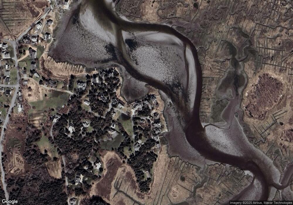
Map
Nearby Homes
- 7 Leaman Dr
- 139 Eastern Ave
- 587 Essex Ave
- 11 Overlook Ave
- 30 Atlantic St
- 162 Main St
- 53 Southern Ave
- 63 Southern Ave
- 90 Southern Ave Unit 90
- 1 Main St
- 188 Atlantic St
- 34 & 34R Pickering St
- 226 Atlantic St
- 368 Essex Ave
- 105 Martin St
- 12 Woodward Ave
- 5 Samoset Rd Unit A
- 109 Riverview Rd
- 189 John Wise Ave
- 227 Essex Ave
- 12 Lufkin Point Ln
- 14 Lufkin Point Ln
- 6 Lufkin Point Ln
- 16 Lufkin Point Rd
- 18 Lufkin Point Ln
- 2 Lufkin Point Ln
- 2 Lufkin Point Ln
- 43 Lufkin Point Rd
- 22 Lufkin Point Ln
- 24 Lufkin Point Ln
- 51 Lufkin Point Rd
- 26 Lufkin Point Ln
- 44 Lufkin Point Rd
- 7 Lufkin Point Ln
- 35 Lufkin Point Rd
- 52 Lufkin Point Rd
- 52R Lufkin Point Rd
- 21 Ralston Dr
- 21 Ralston Dr Unit 1
- 20 Ralston Dr