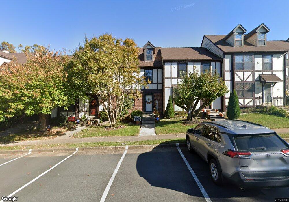
10 Lyndhurst Ct Sterling, VA 20165
Estimated Value: $538,000 - $562,000
3
Beds
4
Baths
1,712
Sq Ft
$322/Sq Ft
Est. Value
About This Home
This home is located at 10 Lyndhurst Ct, Sterling, VA 20165 and is currently estimated at $550,873, approximately $321 per square foot. 10 Lyndhurst Ct is a home located in Loudoun County with nearby schools including Algonkian Elementary School, River Bend Middle School, and Potomac Falls High School.
Ownership History
Date
Name
Owned For
Owner Type
Purchase Details
Closed on
Feb 16, 2024
Sold by
Lancaster Curfew S and Daniels Jacqueline M
Bought by
Lancaster Curfew S and Daniels Jacqueline M
Current Estimated Value
Purchase Details
Closed on
Apr 4, 1996
Sold by
Bell W M
Bought by
Daniels Timothy C
Home Financials for this Owner
Home Financials are based on the most recent Mortgage that was taken out on this home.
Original Mortgage
$138,720
Interest Rate
7.31%
Create a Home Valuation Report for This Property
The Home Valuation Report is an in-depth analysis detailing your home's value as well as a comparison with similar homes in the area
Home Values in the Area
Average Home Value in this Area
Purchase History
| Date | Buyer | Sale Price | Title Company |
|---|---|---|---|
| Lancaster Curfew S | -- | None Listed On Document | |
| Lancaster Curfew S | -- | First American Title Insurance | |
| Daniels Timothy C | $137,000 | -- |
Source: Public Records
Mortgage History
| Date | Status | Borrower | Loan Amount |
|---|---|---|---|
| Previous Owner | Daniels Timothy C | $138,720 |
Source: Public Records
Tax History
| Year | Tax Paid | Tax Assessment Tax Assessment Total Assessment is a certain percentage of the fair market value that is determined by local assessors to be the total taxable value of land and additions on the property. | Land | Improvement |
|---|---|---|---|---|
| 2025 | $4,169 | $517,920 | $145,000 | $372,920 |
| 2024 | $4,262 | $492,770 | $145,000 | $347,770 |
| 2023 | $4,151 | $474,360 | $145,000 | $329,360 |
| 2022 | $3,968 | $445,810 | $120,000 | $325,810 |
| 2021 | $3,874 | $395,310 | $105,000 | $290,310 |
| 2020 | $3,815 | $368,560 | $100,000 | $268,560 |
| 2019 | $3,673 | $351,500 | $100,000 | $251,500 |
| 2018 | $3,646 | $335,990 | $100,000 | $235,990 |
| 2017 | $3,598 | $319,840 | $100,000 | $219,840 |
| 2016 | $3,618 | $316,010 | $0 | $0 |
| 2015 | $3,565 | $214,100 | $0 | $214,100 |
| 2014 | $3,524 | $205,130 | $0 | $205,130 |
Source: Public Records
Map
Nearby Homes
- 36 Aldridge Ct
- 21 Aldridge Ct
- 34 Lipscomb Ct
- 20 N Lowery Ct
- 9 Dorrell Ct
- 130 Minor Rd
- 34 Palmer Ct
- 105 Country Rd
- 14 Marian Ct
- 47 Quincy Ct
- 20209 Redrose Dr
- 20285 Redrose Dr
- 23 Jermyn Ct
- 19141 Youngs Cliff Rd
- 20639 Cutwater Place
- 20525 Brandywine Ct
- 45558 Lakemont Square
- 119 Westwick Ct Unit 6
- 45916 Swallow Terrace
- 46550 Broadspear Terrace
- 12 Lyndhurst Ct
- 14 Lyndhurst Ct
- 16 Lyndhurst Ct
- 8 Lyndhurst Ct
- 6 Lyndhurst Ct
- 18 Lyndhurst Ct
- 4 Lyndhurst Ct
- 2 Lyndhurst Ct
- 20 Lyndhurst Ct
- 22 Lyndhurst Ct
- 24 Lyndhurst Ct
- 26 Lyndhurst Ct
- 28 Lyndhurst Ct
- 30 Lyndhurst Ct
- 32 Lyndhurst Ct
- 34 Lyndhurst Ct
- 23 Lyndhurst Ct
- 21 Lyndhurst Ct
- 25 Lyndhurst Ct
- 19 Lyndhurst Ct
Your Personal Tour Guide
Ask me questions while you tour the home.