10 Mandigo Rd Dennis, MA 02638
Dennis Village NeighborhoodEstimated Value: $1,668,000 - $2,327,000
3
Beds
2
Baths
1,538
Sq Ft
$1,312/Sq Ft
Est. Value
About This Home
This home is located at 10 Mandigo Rd, Dennis, MA 02638 and is currently estimated at $2,018,219, approximately $1,312 per square foot. 10 Mandigo Rd is a home located in Barnstable County with nearby schools including Dennis-Yarmouth Regional High School.
Ownership History
Date
Name
Owned For
Owner Type
Purchase Details
Closed on
May 10, 2019
Sold by
Hannigan William J and Hannigan Mary J
Bought by
Sandbox Rt
Current Estimated Value
Purchase Details
Closed on
Oct 20, 2017
Sold by
Salemme John J
Bought by
Hannigan William J and Hannigan Mary-Jo F
Purchase Details
Closed on
Mar 25, 2011
Sold by
Sterling Prop
Bought by
Dennis Town Of
Create a Home Valuation Report for This Property
The Home Valuation Report is an in-depth analysis detailing your home's value as well as a comparison with similar homes in the area
Home Values in the Area
Average Home Value in this Area
Purchase History
| Date | Buyer | Sale Price | Title Company |
|---|---|---|---|
| Sandbox Rt | -- | -- | |
| Hannigan William J | $880,000 | -- | |
| Dennis Town Of | -- | -- |
Source: Public Records
Tax History Compared to Growth
Tax History
| Year | Tax Paid | Tax Assessment Tax Assessment Total Assessment is a certain percentage of the fair market value that is determined by local assessors to be the total taxable value of land and additions on the property. | Land | Improvement |
|---|---|---|---|---|
| 2025 | $7,807 | $1,802,900 | $789,800 | $1,013,100 |
| 2024 | $7,674 | $1,748,000 | $759,500 | $988,500 |
| 2023 | $6,988 | $1,496,400 | $597,500 | $898,900 |
| 2022 | $6,728 | $1,201,400 | $538,300 | $663,100 |
| 2021 | $6,422 | $1,065,000 | $527,700 | $537,300 |
| 2020 | $6,166 | $1,010,800 | $504,200 | $506,600 |
| 2019 | $4,214 | $683,000 | $459,900 | $223,100 |
| 2018 | $4,043 | $637,700 | $437,800 | $199,900 |
| 2017 | $3,881 | $631,000 | $437,800 | $193,200 |
| 2016 | $3,611 | $553,000 | $394,000 | $159,000 |
| 2015 | $3,565 | $557,100 | $394,000 | $163,100 |
| 2014 | $3,538 | $557,100 | $394,000 | $163,100 |
Source: Public Records
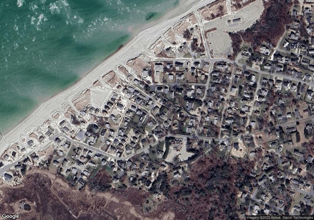
Map
Nearby Homes
- 7 Collins Ave
- 69 Horsefoot Path
- 49 Rodoalph's Way
- 4 Spadoni Rd
- 4 Spadoni Way
- 18 Donovan Way
- 12 Dunes View Rd
- 25 Horsefoot Path
- 13 Hippogriffe Rd
- 96 Shore Dr
- 1 Johnson Ln
- 37 Johnson Ln
- 7 Dolphin Way
- 73 Pilgrim Rd
- 9 Bayberry Ln
- 84 Hiram Pond Rd
- 59 Hope Ln
- 19 Deacon Joseph Ln
- 645 Main St Back Lot
- 15 Signal Hill Dr