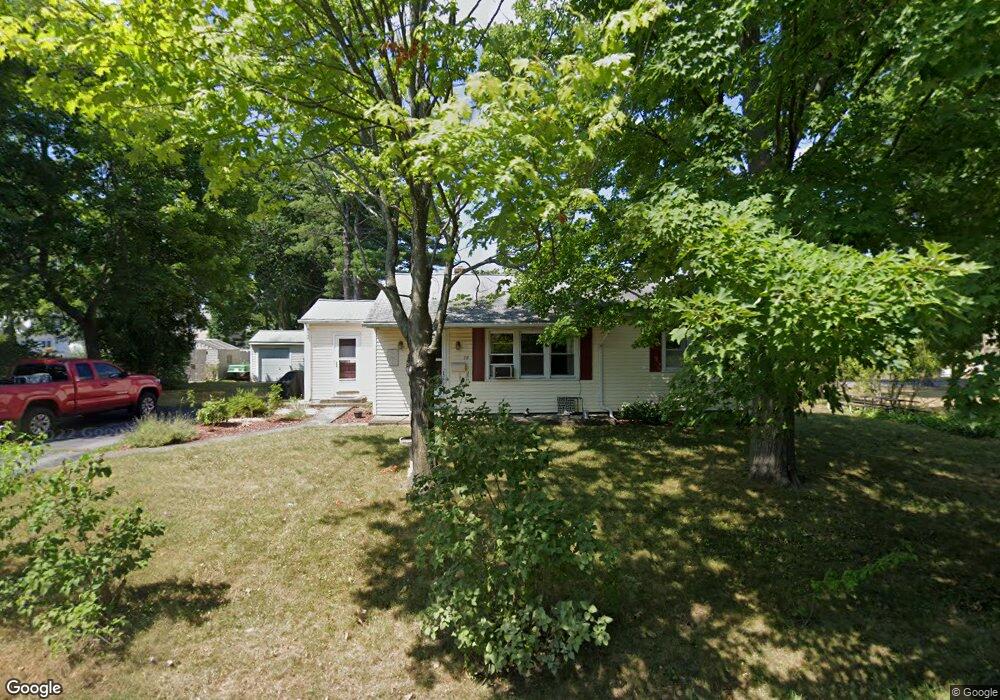
10 Maple Ave Westborough, MA 01581
Estimated Value: $357,000 - $546,000
3
Beds
1
Bath
984
Sq Ft
$505/Sq Ft
Est. Value
About This Home
This home is located at 10 Maple Ave, Westborough, MA 01581 and is currently estimated at $496,781, approximately $504 per square foot. 10 Maple Ave is a home located in Worcester County with nearby schools including Westborough High School, Ebridge Montessori School, and Westboro Knowledge Beginnings.
Ownership History
Date
Name
Owned For
Owner Type
Purchase Details
Closed on
Sep 18, 2012
Sold by
Barton William J
Bought by
William J Barton Nt and Barton William J
Current Estimated Value
Purchase Details
Closed on
Nov 7, 1988
Sold by
Barton Helen J
Bought by
Barton William J
Home Financials for this Owner
Home Financials are based on the most recent Mortgage that was taken out on this home.
Original Mortgage
$95,000
Interest Rate
10.33%
Mortgage Type
Purchase Money Mortgage
Create a Home Valuation Report for This Property
The Home Valuation Report is an in-depth analysis detailing your home's value as well as a comparison with similar homes in the area
Home Values in the Area
Average Home Value in this Area
Purchase History
| Date | Buyer | Sale Price | Title Company |
|---|---|---|---|
| William J Barton Nt | -- | -- | |
| Barton William J | $135,000 | -- |
Source: Public Records
Mortgage History
| Date | Status | Borrower | Loan Amount |
|---|---|---|---|
| Previous Owner | Barton William J | $40,000 | |
| Previous Owner | Barton William J | $85,000 | |
| Previous Owner | Barton William J | $95,000 |
Source: Public Records
Tax History Compared to Growth
Tax History
| Year | Tax Paid | Tax Assessment Tax Assessment Total Assessment is a certain percentage of the fair market value that is determined by local assessors to be the total taxable value of land and additions on the property. | Land | Improvement |
|---|---|---|---|---|
| 2025 | $6,772 | $415,700 | $300,300 | $115,400 |
| 2024 | $6,562 | $399,900 | $279,200 | $120,700 |
| 2023 | $6,273 | $372,500 | $261,100 | $111,400 |
| 2022 | $5,678 | $307,100 | $209,700 | $97,400 |
| 2021 | $5,651 | $304,800 | $207,400 | $97,400 |
| 2020 | $5,432 | $296,500 | $195,800 | $100,700 |
| 2019 | $5,000 | $272,800 | $188,200 | $84,600 |
| 2018 | $4,429 | $239,900 | $172,800 | $67,100 |
| 2017 | $4,270 | $239,900 | $172,800 | $67,100 |
| 2016 | $4,284 | $241,100 | $172,800 | $68,300 |
| 2015 | $4,512 | $242,700 | $172,800 | $69,900 |
Source: Public Records
Map
Nearby Homes
- 75 South St
- 15 Beach St
- 56 Ruggles St
- 44 South St
- 4 Upton Rd
- 8 West St
- 14 Grove St Unit 3
- 14 Grove St Unit 2
- 22 Harvey Ln
- 18 Church St
- 7 Jennings Rd
- 43 Church St
- 6 Folly Ln
- 8 Piccadilly Way
- 48 High Street Extension
- 4403 Peters Farm Way Unit 403
- 7 Mayberry Dr Unit H
- 9 Mayberry Dr Unit 1
- 14C Mayberry Dr Unit 1
- 8 Mayberry Dr Unit 5
- 8 Maple Ave
- 12 Maple Ave
- 108 South St
- 102 South St
- 100 South St
- 112 South St
- 1102 Codman Way
- 1101 Codman Way Unit 1101
- 1102 Codman Way Unit 102
- 00 Restaurant Retail Single Fam
- 9999 M St
- 9999 Worcester County
- 0 Confidential St Unit 70614346
- 0 Confidential St Unit 72915689
- 98 South St
- 87 South St
- 89 South St
- 116 South St
- 81 South St
- 81 South St Unit 2