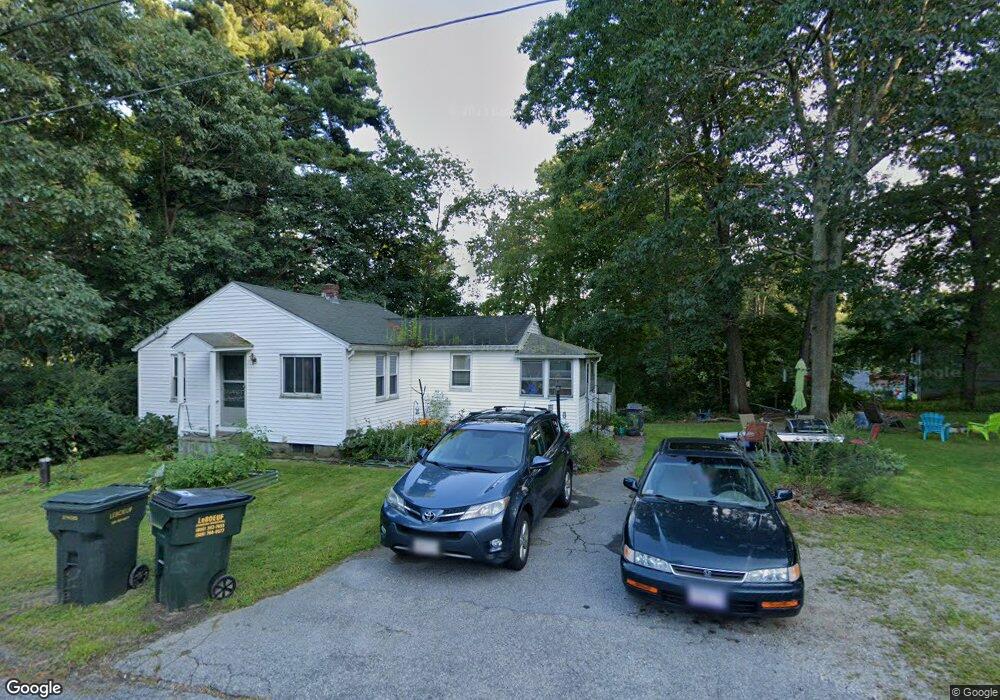
10 Maple Rd Charlton, MA 01507
Estimated Value: $284,000 - $352,000
2
Beds
1
Bath
708
Sq Ft
$462/Sq Ft
Est. Value
About This Home
This home is located at 10 Maple Rd, Charlton, MA 01507 and is currently estimated at $327,061, approximately $461 per square foot. 10 Maple Rd is a home located in Worcester County with nearby schools including Shepherd Hill Regional High School.
Ownership History
Date
Name
Owned For
Owner Type
Purchase Details
Closed on
Apr 2, 2008
Sold by
Citi Res Lending Inc and Deutsche Bank Natl T C
Bought by
Pettiford Deborah Gay
Current Estimated Value
Home Financials for this Owner
Home Financials are based on the most recent Mortgage that was taken out on this home.
Original Mortgage
$104,000
Outstanding Balance
$65,304
Interest Rate
6.06%
Mortgage Type
Purchase Money Mortgage
Estimated Equity
$261,757
Purchase Details
Closed on
Mar 26, 2008
Sold by
Foley Kathleen M and Citi Res Lending Inc
Bought by
Deutsche Bk Natl T Co
Home Financials for this Owner
Home Financials are based on the most recent Mortgage that was taken out on this home.
Original Mortgage
$104,000
Outstanding Balance
$65,304
Interest Rate
6.06%
Mortgage Type
Purchase Money Mortgage
Estimated Equity
$261,757
Purchase Details
Closed on
Dec 2, 1998
Sold by
Foley Patricia A
Bought by
Foley Kevin J and Foley Kathleen M
Create a Home Valuation Report for This Property
The Home Valuation Report is an in-depth analysis detailing your home's value as well as a comparison with similar homes in the area
Home Values in the Area
Average Home Value in this Area
Purchase History
| Date | Buyer | Sale Price | Title Company |
|---|---|---|---|
| Pettiford Deborah Gay | $130,000 | -- | |
| Pettiford Deborah Gay | $130,000 | -- | |
| Deutsche Bk Natl T Co | $153,000 | -- | |
| Deutsche Bk Natl T Co | $153,000 | -- | |
| Foley Kevin J | $48,000 | -- |
Source: Public Records
Mortgage History
| Date | Status | Borrower | Loan Amount |
|---|---|---|---|
| Open | Pettiford Deborah Gay | $104,000 | |
| Closed | Foley Kevin J | $104,000 | |
| Previous Owner | Foley Kevin J | $152,245 |
Source: Public Records
Tax History
| Year | Tax Paid | Tax Assessment Tax Assessment Total Assessment is a certain percentage of the fair market value that is determined by local assessors to be the total taxable value of land and additions on the property. | Land | Improvement |
|---|---|---|---|---|
| 2025 | $3,449 | $309,900 | $98,800 | $211,100 |
| 2024 | $3,421 | $301,700 | $94,000 | $207,700 |
| 2023 | $3,296 | $270,800 | $84,400 | $186,400 |
| 2022 | $2,861 | $215,300 | $77,100 | $138,200 |
| 2021 | $2,313 | $154,100 | $72,300 | $81,800 |
| 2020 | $2,302 | $154,100 | $72,300 | $81,800 |
| 2019 | $2,276 | $154,100 | $72,300 | $81,800 |
| 2018 | $2,080 | $154,100 | $72,300 | $81,800 |
| 2017 | $1,847 | $131,000 | $59,200 | $71,800 |
| 2016 | $1,758 | $127,600 | $55,800 | $71,800 |
| 2015 | $1,712 | $127,600 | $55,800 | $71,800 |
| 2014 | $1,593 | $125,800 | $55,800 | $70,000 |
Source: Public Records
Map
Nearby Homes
- 0 City Depot Rd
- 7 Stevens Park Rd Unit A
- 199 Center Depot Rd
- 49 Jennings Rd
- 28 Curtis Hill Rd
- 0 Curtis Hill Rd
- 0 Worcester Rd
- 34 Worcester Rd
- 50 Old Spencer Rd
- 6 Gillespie Rd
- 6 S Sullivan Rd
- 68 - 74 Sturbridge Rd
- 23 William Casey Rd
- 25 N Main St Unit A
- 35 Ladd Rd
- 29, 31, 33 Ladd Rd
- 34 Northside Rd
- 8 Northside Rd
- 7 L Stevens Rd Unit B
- 9 L Stevens Rd Unit B
Your Personal Tour Guide
Ask me questions while you tour the home.