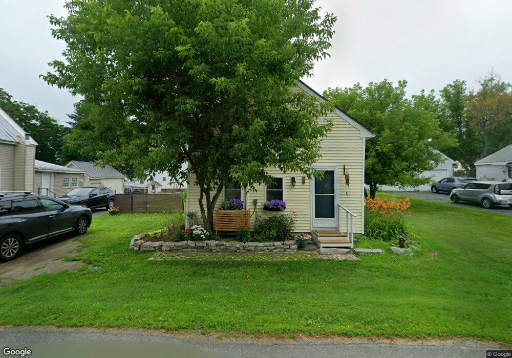
10 Maple St Vassalboro, ME 04989
Estimated Value: $112,164 - $246,000
2
Beds
1
Bath
840
Sq Ft
$192/Sq Ft
Est. Value
About This Home
This home is located at 10 Maple St, Vassalboro, ME 04989 and is currently estimated at $161,541, approximately $192 per square foot. 10 Maple St is a home located in Kennebec County with nearby schools including Vassalboro Community School, Temple Academy, and St John Catholic School.
Ownership History
Date
Name
Owned For
Owner Type
Purchase Details
Closed on
Dec 22, 2022
Sold by
Smith Howard A
Bought by
Smith Amanda L
Current Estimated Value
Home Financials for this Owner
Home Financials are based on the most recent Mortgage that was taken out on this home.
Original Mortgage
$95,115
Outstanding Balance
$92,141
Interest Rate
7.08%
Mortgage Type
Purchase Money Mortgage
Estimated Equity
$69,400
Purchase Details
Closed on
Jun 5, 2017
Sold by
Kennebec Water District
Bought by
Smith Howard A
Create a Home Valuation Report for This Property
The Home Valuation Report is an in-depth analysis detailing your home's value as well as a comparison with similar homes in the area
Home Values in the Area
Average Home Value in this Area
Purchase History
| Date | Buyer | Sale Price | Title Company |
|---|---|---|---|
| Smith Amanda L | $60,000 | None Available | |
| Smith Howard A | -- | -- |
Source: Public Records
Mortgage History
| Date | Status | Borrower | Loan Amount |
|---|---|---|---|
| Open | Smith Amanda L | $95,115 |
Source: Public Records
Tax History Compared to Growth
Tax History
| Year | Tax Paid | Tax Assessment Tax Assessment Total Assessment is a certain percentage of the fair market value that is determined by local assessors to be the total taxable value of land and additions on the property. | Land | Improvement |
|---|---|---|---|---|
| 2025 | $646 | $55,000 | $20,100 | $34,900 |
| 2024 | $564 | $42,300 | $15,500 | $26,800 |
| 2023 | $538 | $42,300 | $15,500 | $26,800 |
| 2022 | $507 | $35,200 | $12,900 | $22,300 |
| 2021 | $510 | $35,200 | $12,900 | $22,300 |
| 2020 | $505 | $35,200 | $12,900 | $22,300 |
| 2019 | $1,372 | $31,700 | $11,600 | $20,100 |
| 2018 | $1,320 | $31,700 | $11,600 | $20,100 |
| 2017 | $461 | $31,700 | $11,600 | $20,100 |
| 2016 | $344 | $24,500 | $11,600 | $12,900 |
| 2015 | $336 | $24,500 | $11,600 | $12,900 |
| 2014 | $314 | $24,500 | $11,600 | $12,900 |
| 2013 | $306 | $27,300 | $12,900 | $14,400 |
Source: Public Records
Map
Nearby Homes
- 905 Main St
- 17 Maple St
- 14 Priest Hill Rd
- 1068 Main St
- 0 S Reynolds Road Lot 2 Rd Unit 1632273
- 747 Main St
- 441 S Reynolds Rd
- 364 Cushman Rd
- M2, L48B S Reynolds Rd
- 235 S Reynolds Rd
- Lot 76 Bassett Rd
- lot 75 Bassett Rd
- 159 Lombard Dam Rd
- 134 Wyman Bog Rd
- 602 Hussey Hill Rd
- 564 Hussey Hill Rd
- Lot 98-B Getchell Corner Rd
- 1 S Ridge Dr
- 105 S Pond Rd
- 367 Main St