10 Maple Wing Dr Central Islip, NY 11722
Estimated Value: $529,000 - $561,956
3
Beds
3
Baths
2,010
Sq Ft
$270/Sq Ft
Est. Value
About This Home
This home is located at 10 Maple Wing Dr, Central Islip, NY 11722 and is currently estimated at $542,985, approximately $270 per square foot. 10 Maple Wing Dr is a home located in Suffolk County with nearby schools including Anthony Alfano Elementary School and Central Islip Senior High School.
Ownership History
Date
Name
Owned For
Owner Type
Purchase Details
Closed on
Nov 4, 2021
Sold by
Mirra Raymond R
Bought by
Grant Leighton S
Current Estimated Value
Home Financials for this Owner
Home Financials are based on the most recent Mortgage that was taken out on this home.
Original Mortgage
$312,000
Interest Rate
3.09%
Mortgage Type
Purchase Money Mortgage
Purchase Details
Closed on
Nov 4, 2016
Sold by
Horton Rose Ann and Horton Terry G
Bought by
Mirra Raymond Ralph
Home Financials for this Owner
Home Financials are based on the most recent Mortgage that was taken out on this home.
Original Mortgage
$192,000
Interest Rate
3.42%
Mortgage Type
VA
Purchase Details
Closed on
Nov 13, 2007
Purchase Details
Closed on
Nov 12, 2007
Purchase Details
Closed on
Aug 12, 2003
Sold by
Horton Rose Ann
Bought by
Greene Tracy A and Rose Ann Horton Family Trust
Create a Home Valuation Report for This Property
The Home Valuation Report is an in-depth analysis detailing your home's value as well as a comparison with similar homes in the area
Home Values in the Area
Average Home Value in this Area
Purchase History
| Date | Buyer | Sale Price | Title Company |
|---|---|---|---|
| Grant Leighton S | $390,000 | None Available | |
| Mirra Raymond Ralph | $265,000 | None Available | |
| -- | -- | -- | |
| -- | -- | -- | |
| Greene Tracy A | -- | -- | |
| Horton Rose Ann | -- | Fidelity National Title |
Source: Public Records
Mortgage History
| Date | Status | Borrower | Loan Amount |
|---|---|---|---|
| Previous Owner | Grant Leighton S | $312,000 | |
| Previous Owner | Mirra Raymond Ralph | $192,000 |
Source: Public Records
Tax History
| Year | Tax Paid | Tax Assessment Tax Assessment Total Assessment is a certain percentage of the fair market value that is determined by local assessors to be the total taxable value of land and additions on the property. | Land | Improvement |
|---|---|---|---|---|
| 2024 | $10,781 | $31,800 | $7,100 | $24,700 |
| 2023 | $10,781 | $31,800 | $7,100 | $24,700 |
| 2022 | $6,568 | $31,800 | $7,100 | $24,700 |
| 2021 | $8,041 | $31,800 | $7,100 | $24,700 |
| 2020 | $8,528 | $31,800 | $7,100 | $24,700 |
| 2019 | $8,528 | $0 | $0 | $0 |
| 2018 | -- | $31,800 | $7,100 | $24,700 |
| 2017 | $9,904 | $31,800 | $7,100 | $24,700 |
| 2016 | $5,059 | $31,800 | $7,100 | $24,700 |
| 2015 | -- | $31,800 | $7,100 | $24,700 |
| 2014 | -- | $31,800 | $7,100 | $24,700 |
Source: Public Records
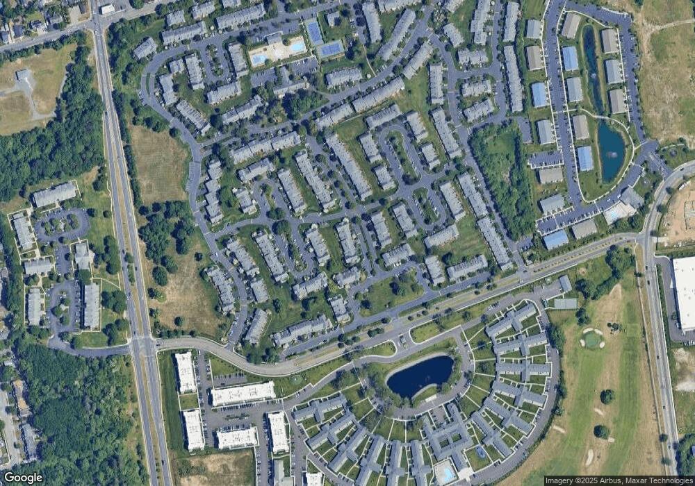
Map
Nearby Homes
- 52 Fairlawn Dr
- 96 Somerton Ave
- 100 Weatherby Ln Unit 100
- 106 Northwood Blvd
- 11 Northwood Blvd
- 37 Weatherby Ln
- 330 Irving St
- 138 Weatherby Ln
- 2 Cherry St
- 6 Walnut St
- 116 Maya Cir
- 15 Oak St
- 307 Medea Way
- 345 Elmore St
- 245 Ackerman St
- 255 Elmore St
- 245 Elmore St
- 258 Medea Way
- 16 E Chestnut St
- 43 Cherry St
- 12 Maple Wing Dr
- 6 Maple Wing Dr
- 14 Maple Wing Dr
- 2 Maple Wing Dr Unit 4
- 16 Maple Wing Dr Unit 18
- 16 Maple Wing Dr Unit 16-18
- 22 Goldenwood Cir
- 21 Goldenwood Cir
- 23 Goldenwood Cir
- 24 Goldenwood Cir
- 41 Maple Wing Blvd Unit 43
- 25 Goldenwood Cir
- 25 Goldenwood Cir
- 39 Maple Wing Blvd
- 37 Maple Wing Blvd
- 7 Maple Wing Dr
- 3 Maple Wing Dr
- 5 Maple Wing Dr
- 9 Maple Wing Dr
- 26 Goldenwood Cir Unit 27
Your Personal Tour Guide
Ask me questions while you tour the home.