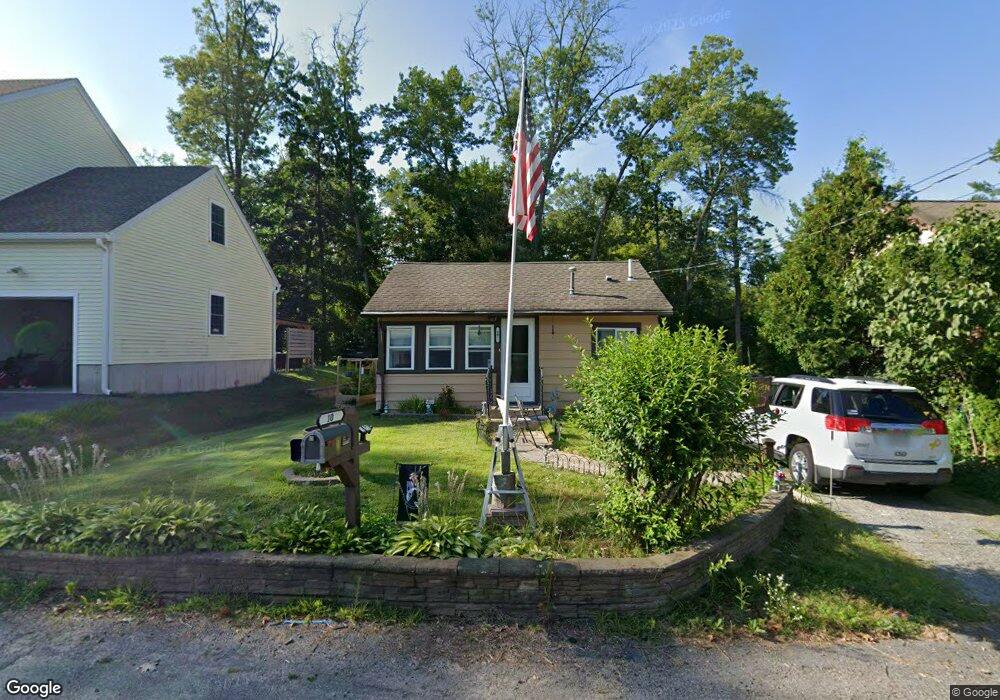
10 Maplehurst Rd Littleton, MA 01460
Littleton Common NeighborhoodEstimated Value: $358,000 - $442,000
2
Beds
2
Baths
814
Sq Ft
$472/Sq Ft
Est. Value
About This Home
This home is located at 10 Maplehurst Rd, Littleton, MA 01460 and is currently estimated at $384,340, approximately $472 per square foot. 10 Maplehurst Rd is a home located in Middlesex County with nearby schools including Shaker Lane Elementary School, Russell Street Elementary School, and Littleton Middle School.
Ownership History
Date
Name
Owned For
Owner Type
Purchase Details
Closed on
Mar 8, 2012
Sold by
Helsel Diane W and Helsel Richard L
Bought by
Helsel Ft and Helsel Richard L
Current Estimated Value
Purchase Details
Closed on
Jan 19, 2007
Sold by
Cloutman Diane W and Helsel Diane W
Bought by
Helsel Diane W and Helsel Richard L
Create a Home Valuation Report for This Property
The Home Valuation Report is an in-depth analysis detailing your home's value as well as a comparison with similar homes in the area
Home Values in the Area
Average Home Value in this Area
Purchase History
| Date | Buyer | Sale Price | Title Company |
|---|---|---|---|
| Helsel Ft | -- | -- | |
| Helsel Diane W | -- | -- |
Source: Public Records
Tax History
| Year | Tax Paid | Tax Assessment Tax Assessment Total Assessment is a certain percentage of the fair market value that is determined by local assessors to be the total taxable value of land and additions on the property. | Land | Improvement |
|---|---|---|---|---|
| 2025 | $48 | $325,100 | $176,000 | $149,100 |
| 2024 | $4,639 | $312,600 | $176,000 | $136,600 |
| 2023 | $4,129 | $254,100 | $140,800 | $113,300 |
| 2022 | $4,424 | $249,800 | $152,000 | $97,800 |
| 2021 | $4,078 | $230,400 | $144,000 | $86,400 |
| 2020 | $3,897 | $219,300 | $133,100 | $86,200 |
| 2019 | $3,670 | $201,200 | $114,100 | $87,100 |
| 2018 | $3,517 | $193,900 | $114,100 | $79,800 |
| 2017 | $3,338 | $183,900 | $114,100 | $69,800 |
| 2016 | $3,250 | $183,700 | $114,100 | $69,600 |
| 2015 | $3,093 | $170,900 | $101,400 | $69,500 |
Source: Public Records
Map
Nearby Homes
- 16 Oak Rd
- 18 Long Lake Rd
- 19 Ipswich Dr
- 14 Robinson Rd Unit 2
- 35 Queen Rd
- 146 Tahattawan Rd
- 84 Powers Rd
- 305 Harwood Ave
- 17 Hartwell Ave
- 18 Mcintosh Ln
- 4 Omega Way
- Lot 1 & 3 Beaver Brook Rd
- 91 Jimney Dr Unit 91
- 237 Brown Bear Crossing Unit 237
- 238 Brown Bear Crossing Unit 238
- 262 Brown Bear Crossing Unit 262
- 405 Great Elm Way
- 41 Flagg Rd
- 119 Taylor St
- 3 Taylor St
- 8 Maplehurst Rd
- 14 Maplehurst Rd
- 15 Laurel Rd
- 6 Maplehurst Rd
- 9 Maplehurst Rd
- 19 Laurel Rd
- 11 Laurel Rd
- 21 Laurel Rd
- 20 Maplehurst Rd
- 3 Maplehurst Rd
- 10 Laurel Rd
- 166 Goldsmith St
- 178 Goldsmith St
- 24 Maplehurst Rd
- 24 Laurel Rd
- 162 Goldsmith St
- 158 Goldsmith St
- 23 Maplehurst Rd
- 173 Goldsmith St
- 169 Goldsmith St
Your Personal Tour Guide
Ask me questions while you tour the home.