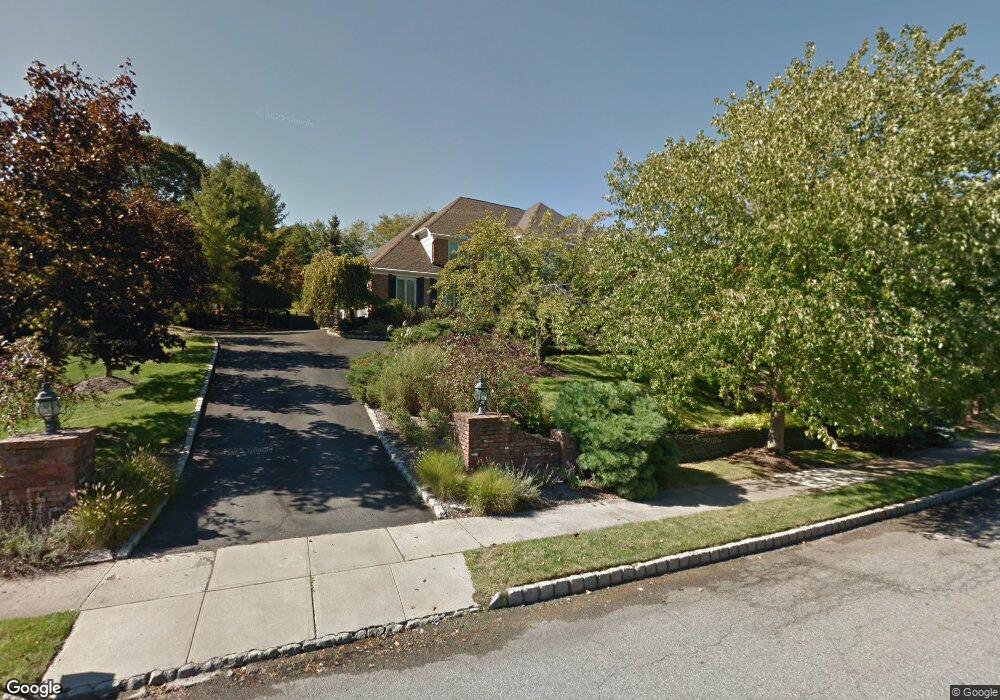
10 Mark Twain Dr Morristown, NJ 07960
Estimated Value: $1,341,000 - $1,627,000
5
Beds
5
Baths
4,599
Sq Ft
$317/Sq Ft
Est. Value
About This Home
This home is located at 10 Mark Twain Dr, Morristown, NJ 07960 and is currently estimated at $1,456,481, approximately $316 per square foot. 10 Mark Twain Dr is a home located in Morris County with nearby schools including Hillcrest School, Thomas Jefferson School, and Sussex Avenue School.
Ownership History
Date
Name
Owned For
Owner Type
Purchase Details
Closed on
Aug 31, 2001
Sold by
Kessner Joe
Bought by
Denton Michael and Denton Mary
Current Estimated Value
Home Financials for this Owner
Home Financials are based on the most recent Mortgage that was taken out on this home.
Original Mortgage
$738,000
Outstanding Balance
$287,780
Interest Rate
6.99%
Estimated Equity
$1,168,701
Purchase Details
Closed on
Jun 30, 1995
Sold by
Rothwell Timothy G and Rothwell Joanne C
Bought by
Kesner Joel R and Kesner Kathy L
Create a Home Valuation Report for This Property
The Home Valuation Report is an in-depth analysis detailing your home's value as well as a comparison with similar homes in the area
Home Values in the Area
Average Home Value in this Area
Purchase History
| Date | Buyer | Sale Price | Title Company |
|---|---|---|---|
| Denton Michael | $922,500 | -- | |
| Kesner Joel R | $590,000 | -- |
Source: Public Records
Mortgage History
| Date | Status | Borrower | Loan Amount |
|---|---|---|---|
| Open | Denton Michael | $738,000 |
Source: Public Records
Tax History Compared to Growth
Tax History
| Year | Tax Paid | Tax Assessment Tax Assessment Total Assessment is a certain percentage of the fair market value that is determined by local assessors to be the total taxable value of land and additions on the property. | Land | Improvement |
|---|---|---|---|---|
| 2025 | $19,267 | $962,400 | $307,800 | $654,600 |
| 2024 | $19,296 | $962,400 | $307,800 | $654,600 |
| 2023 | $19,296 | $962,400 | $307,800 | $654,600 |
| 2022 | $18,401 | $962,400 | $307,800 | $654,600 |
| 2021 | $18,401 | $962,400 | $307,800 | $654,600 |
| 2020 | $17,920 | $962,400 | $307,800 | $654,600 |
| 2019 | $17,641 | $962,400 | $307,800 | $654,600 |
| 2018 | $17,448 | $962,400 | $307,800 | $654,600 |
| 2017 | $17,333 | $962,400 | $307,800 | $654,600 |
| 2016 | $17,063 | $962,400 | $307,800 | $654,600 |
| 2015 | $15,282 | $602,600 | $241,300 | $361,300 |
| 2014 | $15,083 | $602,600 | $241,300 | $361,300 |
Source: Public Records
Map
Nearby Homes
- 8 Mark Twain Dr
- 12 Mark Twain Dr
- 8 Walt Whitman Trail
- 6 Mark Twain Dr
- 11 Mark Twain Dr
- 15 Mark Twain Dr
- 16 Mark Twain Dr
- 11 Walt Whitman Trail
- 6 Walt Whitman Trail
- 9 Mark Twain Dr
- 4 Walt Whitman Trail
- 17 Mark Twain Dr
- 9 Stephen Crane Way
- 1 Hawthorne Ct
- 18 Mark Twain Dr
- 15 Walt Whitman Trail
- 5 Mark Twain Dr
- 4 Mark Twain Dr
- 7 Stephen Crane Way
- 5 Stephen Crane Way