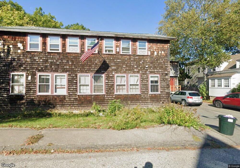
10 Marshfield St Gloucester, MA 01930
West Gloucester NeighborhoodEstimated Value: $642,000 - $1,002,000
4
Beds
2
Baths
3,324
Sq Ft
$257/Sq Ft
Est. Value
About This Home
This home is located at 10 Marshfield St, Gloucester, MA 01930 and is currently estimated at $854,622, approximately $257 per square foot. 10 Marshfield St is a home located in Essex County with nearby schools including West Parish, Ralph B O'maley Middle School, and Gloucester High School.
Ownership History
Date
Name
Owned For
Owner Type
Purchase Details
Closed on
Dec 23, 2002
Sold by
Chabot Edgar Y
Bought by
Christensen Eric D and Christensen Genesia L
Current Estimated Value
Home Financials for this Owner
Home Financials are based on the most recent Mortgage that was taken out on this home.
Original Mortgage
$177,219
Interest Rate
6.16%
Mortgage Type
Purchase Money Mortgage
Create a Home Valuation Report for This Property
The Home Valuation Report is an in-depth analysis detailing your home's value as well as a comparison with similar homes in the area
Home Values in the Area
Average Home Value in this Area
Purchase History
| Date | Buyer | Sale Price | Title Company |
|---|---|---|---|
| Christensen Eric D | $180,000 | -- |
Source: Public Records
Mortgage History
| Date | Status | Borrower | Loan Amount |
|---|---|---|---|
| Open | Christensen Eric D | $228,000 | |
| Closed | Christensen Eric D | $43,000 | |
| Closed | Christensen Eric D | $176,000 | |
| Closed | Christensen Eric D | $177,219 |
Source: Public Records
Tax History
| Year | Tax Paid | Tax Assessment Tax Assessment Total Assessment is a certain percentage of the fair market value that is determined by local assessors to be the total taxable value of land and additions on the property. | Land | Improvement |
|---|---|---|---|---|
| 2025 | $6,779 | $697,400 | $190,700 | $506,700 |
| 2024 | $6,697 | $688,300 | $181,600 | $506,700 |
| 2023 | $7,160 | $676,100 | $162,200 | $513,900 |
| 2022 | $6,482 | $552,600 | $141,100 | $411,500 |
| 2021 | $6,270 | $504,000 | $128,200 | $375,800 |
| 2020 | $5,950 | $482,600 | $128,200 | $354,400 |
| 2019 | $5,549 | $437,300 | $128,200 | $309,100 |
| 2018 | $5,193 | $401,600 | $128,200 | $273,400 |
| 2017 | $4,966 | $376,500 | $122,100 | $254,400 |
| 2016 | $4,812 | $353,600 | $127,400 | $226,200 |
| 2015 | $4,731 | $346,600 | $127,400 | $219,200 |
Source: Public Records
Map
Nearby Homes
- 5 Marshfield St
- 13 Leslie o Johnson Rd
- 145 Essex Ave Unit 402
- 15 Harvard St
- 24 Cobblestone Ln Unit 603
- 5 Lepage Ln
- 20 Beacon St
- 20 Beacon St Unit 2
- 20 Beacon St Unit 1
- 120 Washington St
- 33 Middle St
- 35 Middle St Unit 4
- 6 Monroe Ct
- 3 Rockland St
- 5 Samoset Rd Unit B
- 33 Maplewood Ave Unit 310
- 98 Maplewood Ave
- 191 Main St Unit 3
- 191 Main St Unit 2A
- 113 Pleasant St
- 12 Marshfield St
- 17 Bond St
- 17 Bond St Unit 2
- 17 Bond St Unit 1
- 14 Marshfield St
- 11 Marshfield St
- 9 & 9R Marshfield St
- 19 Bond St
- 9 & 9 1/2 Marshfield St
- 9 Marshfield St
- 7 Marshfield St
- 13 Bond St
- 17 Marshfield St
- 2 Marshfield St
- 20 Bond St
- 5 Marshfield St Unit 1
- 5 Marshfield St Unit 2
- 22 Bond St
- 23 Bond St
- 7 Bond St Unit 3
Your Personal Tour Guide
Ask me questions while you tour the home.