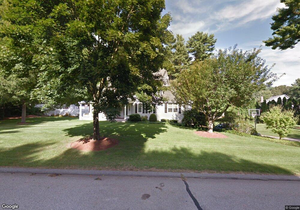
10 Martin Ln Wrentham, MA 02093
Estimated Value: $886,211 - $997,000
4
Beds
4
Baths
2,564
Sq Ft
$371/Sq Ft
Est. Value
About This Home
This home is located at 10 Martin Ln, Wrentham, MA 02093 and is currently estimated at $950,303, approximately $370 per square foot. 10 Martin Ln is a home located in Norfolk County with nearby schools including Delaney Elementary School and Charles E Roderick.
Ownership History
Date
Name
Owned For
Owner Type
Purchase Details
Closed on
Feb 2, 1996
Sold by
Assoc Relocation Mgmt
Bought by
Bender Paul R and Bender Jamie L
Current Estimated Value
Home Financials for this Owner
Home Financials are based on the most recent Mortgage that was taken out on this home.
Original Mortgage
$193,300
Interest Rate
7.25%
Mortgage Type
Purchase Money Mortgage
Purchase Details
Closed on
Sep 20, 1995
Sold by
Brotan Garry E and Brotan Susan K
Bought by
Assoc Relocation Mgmt
Purchase Details
Closed on
Jan 19, 1989
Sold by
Oloughlin Construc
Bought by
Brotan Garry E
Create a Home Valuation Report for This Property
The Home Valuation Report is an in-depth analysis detailing your home's value as well as a comparison with similar homes in the area
Home Values in the Area
Average Home Value in this Area
Purchase History
| Date | Buyer | Sale Price | Title Company |
|---|---|---|---|
| Bender Paul R | $241,700 | -- | |
| Assoc Relocation Mgmt | $260,000 | -- | |
| Brotan Garry E | $240,000 | -- |
Source: Public Records
Mortgage History
| Date | Status | Borrower | Loan Amount |
|---|---|---|---|
| Open | Brotan Garry E | $243,000 | |
| Closed | Brotan Garry E | $193,300 | |
| Previous Owner | Brotan Garry E | $203,000 |
Source: Public Records
Tax History Compared to Growth
Tax History
| Year | Tax Paid | Tax Assessment Tax Assessment Total Assessment is a certain percentage of the fair market value that is determined by local assessors to be the total taxable value of land and additions on the property. | Land | Improvement |
|---|---|---|---|---|
| 2025 | $9,328 | $804,800 | $289,900 | $514,900 |
| 2024 | $8,917 | $743,100 | $289,900 | $453,200 |
| 2023 | $8,867 | $702,600 | $263,600 | $439,000 |
| 2022 | $8,458 | $618,700 | $246,000 | $372,700 |
| 2021 | $7,865 | $559,000 | $214,700 | $344,300 |
| 2020 | $7,924 | $556,100 | $190,900 | $365,200 |
| 2019 | $7,629 | $540,300 | $190,900 | $349,400 |
| 2018 | $8,057 | $565,800 | $191,100 | $374,700 |
| 2017 | $7,865 | $551,900 | $187,400 | $364,500 |
| 2016 | $7,704 | $539,500 | $182,000 | $357,500 |
| 2015 | $7,848 | $523,900 | $175,000 | $348,900 |
| 2014 | $7,750 | $506,200 | $168,300 | $337,900 |
Source: Public Records
Map
Nearby Homes
- 570 Franklin St
- 50 Reed Fulton Ave Unit Lot 61
- 45 Joshua Rd
- 246 Forest Grove Ave
- 10 Nature View Dr
- 15 Nature View Dr
- 270 Dedham St
- 131 Creek St Unit 7
- 3 Oak Rd
- 45 King St
- 1 Lorraine Metcalf Dr
- 0 W Birch Rd
- 10 W Birch Rd
- 3 Sparrow Rd
- 12 Waites Crossing Way
- 11 Earle Stewart Ln
- 14 Essex St
- 11 Elliot Mills Unit 11
- Lot 3 - 14 Earle Stewart Ln
- Lot 1 - Blueberry 2 Car Plan at King Philip Estates