10 Martin Rd Georgetown, ME 04548
Georgetown NeighborhoodEstimated Value: $492,000 - $803,377
Studio
--
Bath
--
Sq Ft
87,120
Sq Ft Lot
About This Home
This home is located at 10 Martin Rd, Georgetown, ME 04548 and is currently estimated at $678,094. 10 Martin Rd is a home with nearby schools including Georgetown Central School.
Ownership History
Date
Name
Owned For
Owner Type
Purchase Details
Closed on
Feb 16, 2023
Sold by
Martin Jan D and Martin Jennifer R
Bought by
Martin Michael T and Martin Amy J
Current Estimated Value
Home Financials for this Owner
Home Financials are based on the most recent Mortgage that was taken out on this home.
Original Mortgage
$255,000
Outstanding Balance
$246,327
Interest Rate
5.88%
Mortgage Type
Purchase Money Mortgage
Estimated Equity
$431,767
Purchase Details
Closed on
Mar 28, 2019
Sold by
Martin Jan D and Martin Margaret M
Bought by
Martin Jan D and Martin Jennifer R
Home Financials for this Owner
Home Financials are based on the most recent Mortgage that was taken out on this home.
Original Mortgage
$289,000
Interest Rate
4%
Mortgage Type
Stand Alone Refi Refinance Of Original Loan
Create a Home Valuation Report for This Property
The Home Valuation Report is an in-depth analysis detailing your home's value as well as a comparison with similar homes in the area
Home Values in the Area
Average Home Value in this Area
Purchase History
| Date | Buyer | Sale Price | Title Company |
|---|---|---|---|
| Martin Michael T | $575,000 | None Available | |
| Martin Michael T | $575,000 | None Available | |
| Martin Jan D | -- | -- | |
| Martin Jan D | -- | -- |
Source: Public Records
Mortgage History
| Date | Status | Borrower | Loan Amount |
|---|---|---|---|
| Open | Martin Michael T | $255,000 | |
| Closed | Martin Michael T | $255,000 | |
| Previous Owner | Martin Jan D | $289,000 |
Source: Public Records
Tax History
| Year | Tax Paid | Tax Assessment Tax Assessment Total Assessment is a certain percentage of the fair market value that is determined by local assessors to be the total taxable value of land and additions on the property. | Land | Improvement |
|---|---|---|---|---|
| 2024 | $5,095 | $846,300 | $171,700 | $674,600 |
| 2023 | $3,911 | $401,100 | $95,400 | $305,700 |
| 2022 | $3,546 | $401,100 | $95,400 | $305,700 |
| 2021 | $3,309 | $401,100 | $95,400 | $305,700 |
| 2020 | $3,249 | $401,100 | $95,400 | $305,700 |
| 2019 | $3,065 | $393,000 | $87,300 | $305,700 |
Source: Public Records
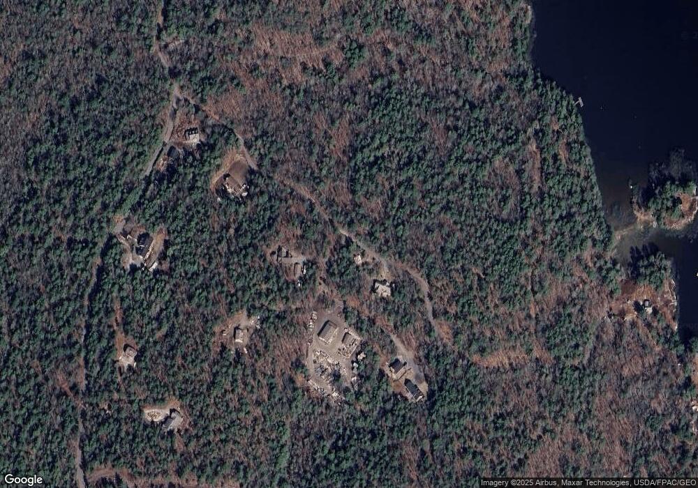
Map
Nearby Homes
- 40 Knubble Rd
- 1 Willis Point Rd
- 245 Five Islands Rd
- 61 N End Rd
- 68 Narrows Way
- 25 N End Rd
- 1 Plum Ln Unit D
- 17-1 Bald Head Rd
- 15 Blueberry Hill Rd
- 44-4 Windrush Ln
- 0 Main Rd
- 47 Snowman Ln
- 54 Stone Tree Rd
- 86 Arrowsic Rd
- 00 Field Rd
- 53 High St
- 140 Clifford Rd
- 0 Maine 144
- 226 Washington St
- 461 Hendricks Hill Rd
Your Personal Tour Guide
Ask me questions while you tour the home.