10 Matthews Way Topsham, ME 04086
Estimated Value: $323,000 - $401,142
2
Beds
2
Baths
992
Sq Ft
$379/Sq Ft
Est. Value
About This Home
This home is located at 10 Matthews Way, Topsham, ME 04086 and is currently estimated at $376,036, approximately $379 per square foot. 10 Matthews Way is a home located in Sagadahoc County with nearby schools including Mt Ararat High School.
Ownership History
Date
Name
Owned For
Owner Type
Purchase Details
Closed on
Dec 14, 2018
Sold by
Matthews Dean L
Bought by
Matthews Jeffrey C
Current Estimated Value
Home Financials for this Owner
Home Financials are based on the most recent Mortgage that was taken out on this home.
Original Mortgage
$124,000
Outstanding Balance
$109,033
Interest Rate
4.8%
Mortgage Type
New Conventional
Estimated Equity
$267,003
Create a Home Valuation Report for This Property
The Home Valuation Report is an in-depth analysis detailing your home's value as well as a comparison with similar homes in the area
Home Values in the Area
Average Home Value in this Area
Purchase History
| Date | Buyer | Sale Price | Title Company |
|---|---|---|---|
| Matthews Jeffrey C | -- | -- |
Source: Public Records
Mortgage History
| Date | Status | Borrower | Loan Amount |
|---|---|---|---|
| Open | Matthews Jeffrey C | $124,000 |
Source: Public Records
Tax History Compared to Growth
Tax History
| Year | Tax Paid | Tax Assessment Tax Assessment Total Assessment is a certain percentage of the fair market value that is determined by local assessors to be the total taxable value of land and additions on the property. | Land | Improvement |
|---|---|---|---|---|
| 2025 | $3,772 | $294,700 | $71,200 | $223,500 |
| 2024 | $3,676 | $294,100 | $66,400 | $227,700 |
| 2023 | $3,576 | $263,300 | $63,300 | $200,000 |
| 2022 | $3,161 | $219,200 | $61,100 | $158,100 |
| 2021 | $3,069 | $193,400 | $56,300 | $137,100 |
| 2020 | $3,136 | $175,600 | $56,300 | $119,300 |
| 2019 | $3,062 | $159,900 | $56,300 | $103,600 |
| 2018 | $2,813 | $150,200 | $50,700 | $99,500 |
| 2017 | $2,722 | $150,200 | $50,700 | $99,500 |
| 2016 | $3,177 | $176,600 | $50,700 | $125,900 |
| 2015 | $3,073 | $171,100 | $50,700 | $120,400 |
| 2014 | $2,872 | $165,700 | $50,700 | $115,000 |
| 2013 | $2,759 | $165,700 | $50,700 | $115,000 |
Source: Public Records
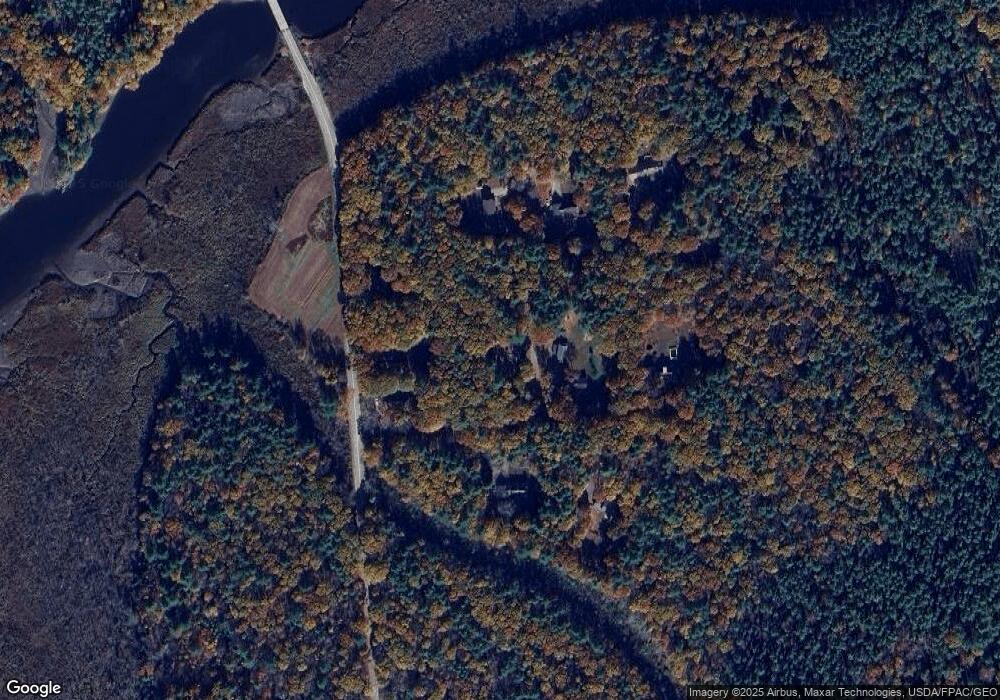
Map
Nearby Homes
- 594 Middlesex Rd
- Lot 08 Sara's Way
- 75 Adams Landing Rd
- 31 Franklin Pkwy
- 53 Larry Ln
- 428 Cathance Rd
- 15 Royal Oak Cir
- 573 Old Bath Rd
- 107 Stevenson Way
- 282 Middlesex Rd
- 18 Peterson Ln
- 100 Varney Mill Rd
- 14 Loon Dr
- 20 Eagle Point Rd
- 55 Somerset Place
- 19 James St
- 2 Jasper Dr
- 34 Shea St
- 69 Long St
- 15 Pond Dr
- 24 Philippon Dr
- 15 Philippon Dr
- 2 Philippon Dr
- 1005 Foreside Rd
- 32 Philippon Dr
- 35 Philippon Dr
- 1013 Foreside Rd
- 30 Matthews Ln
- 35 Matthews Ln
- 33 Matthews Ln
- 902 Foreside Rd
- 1052 Foreside Rd
- 1055 Foreside Rd
- 894 Foreside Rd
- 20 Muddy River Ln
- 893 Foreside Rd
- 883 Foreside Rd
- 16 Muddy River Ln
- 1095 Foreside Rd
- 919 Middlesex Rd