10 Maxine Place Sheridan, WY 82801
Estimated Value: $505,000 - $579,000
--
Bed
--
Bath
1,680
Sq Ft
$325/Sq Ft
Est. Value
About This Home
This home is located at 10 Maxine Place, Sheridan, WY 82801 and is currently estimated at $545,966, approximately $324 per square foot. 10 Maxine Place is a home with nearby schools including Sheridan High School.
Ownership History
Date
Name
Owned For
Owner Type
Purchase Details
Closed on
Aug 15, 2005
Sold by
Stolz Stephan Lane and Stolz Terri R
Bought by
Gilbert Joseph E and Gilbert Linda J
Current Estimated Value
Home Financials for this Owner
Home Financials are based on the most recent Mortgage that was taken out on this home.
Original Mortgage
$148,000
Outstanding Balance
$77,496
Interest Rate
5.61%
Mortgage Type
New Conventional
Estimated Equity
$468,470
Create a Home Valuation Report for This Property
The Home Valuation Report is an in-depth analysis detailing your home's value as well as a comparison with similar homes in the area
Home Values in the Area
Average Home Value in this Area
Purchase History
| Date | Buyer | Sale Price | Title Company |
|---|---|---|---|
| Gilbert Joseph E | -- | None Available |
Source: Public Records
Mortgage History
| Date | Status | Borrower | Loan Amount |
|---|---|---|---|
| Open | Gilbert Joseph E | $148,000 |
Source: Public Records
Tax History Compared to Growth
Tax History
| Year | Tax Paid | Tax Assessment Tax Assessment Total Assessment is a certain percentage of the fair market value that is determined by local assessors to be the total taxable value of land and additions on the property. | Land | Improvement |
|---|---|---|---|---|
| 2025 | $2,769 | $32,252 | $11,564 | $20,688 |
| 2024 | $2,769 | $41,639 | $15,116 | $26,523 |
| 2023 | $2,725 | $40,977 | $15,116 | $25,861 |
| 2022 | $2,202 | $33,113 | $13,101 | $20,012 |
| 2021 | $1,820 | $27,362 | $9,120 | $18,242 |
| 2020 | $1,645 | $24,741 | $6,840 | $17,901 |
| 2019 | $1,580 | $23,756 | $6,840 | $16,916 |
| 2018 | $1,509 | $22,699 | $6,202 | $16,497 |
| 2017 | $1,487 | $22,358 | $6,202 | $16,156 |
| 2015 | $1,430 | $21,500 | $5,837 | $15,663 |
| 2014 | $1,365 | $20,530 | $5,472 | $15,058 |
| 2013 | -- | $19,823 | $5,472 | $14,351 |
Source: Public Records
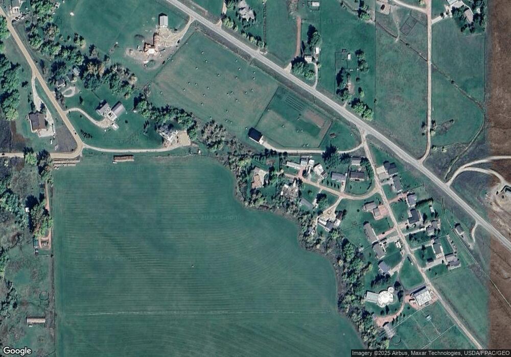
Map
Nearby Homes
- 18 Circle 8 Dr
- 7 Mallard Rd
- 3 Mallard Rd
- 4 Mallard Rd
- 96 Canvasback Rd
- 40 Mallard Rd
- TBD Mccormick Rd Unit Lot 2
- TBD Mccormick Rd Unit Lot 1
- 37 Maverick Rd
- 91 Wyoming 335
- 1 Deer Haven Dr
- TBD Wagon Wheel Ct Unit F10
- TBD Wagon Wheel Ct Unit F11
- TBD Wagon Wheel Ct Unit Lot 1
- TBD Wagon Wheel Ct Unit Lot 2
- 21 Eagle Ridge Dr
- Tbd Wagon Wheel Court Lot F11
- Tbd Wagon Wheel Ct Lot F10 & F11
- 19 Spring Creek Ln
- 8 Buckskin Dr
- 8 Maxine Place
- 6 Maxine Place
- 5 Maxine Place
- 3 Maxine Place
- 4 Maxine Place
- 5 Circle 8 Dr
- 35 Mccormick Rd
- 8 Somerset Cir
- 6 Somerset Cir
- TBD Us Hwy 87 Unit Lots 9 & 10
- TBD Us Hwy 87 Unit Lot 8
- TBD Us Hwy 87 Unit Tract 2
- TBD Us Hwy 87 Unit Tract 1
- TBD Us Hwy 87
- 8 Circle 8 Dr
- 10 Circle 8 Dr
- TBD Hwy 87
- 3049 Us Highway 87
- 3 Circle 8 Dr
- 12 Circle 8 Dr