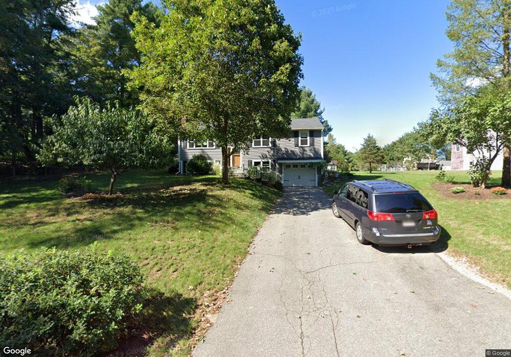
10 May St Wrentham, MA 02093
Estimated Value: $542,074 - $665,000
3
Beds
1
Bath
1,092
Sq Ft
$535/Sq Ft
Est. Value
About This Home
This home is located at 10 May St, Wrentham, MA 02093 and is currently estimated at $584,269, approximately $535 per square foot. 10 May St is a home located in Norfolk County with nearby schools including Delaney Elementary School and Charles E Roderick.
Ownership History
Date
Name
Owned For
Owner Type
Purchase Details
Closed on
Aug 16, 2023
Sold by
Edgerly John S and Edgerly Christine M
Bought by
Edgerly John S and Edgerly C M
Current Estimated Value
Home Financials for this Owner
Home Financials are based on the most recent Mortgage that was taken out on this home.
Original Mortgage
$162,000
Outstanding Balance
$157,644
Interest Rate
6.78%
Mortgage Type
Stand Alone Refi Refinance Of Original Loan
Estimated Equity
$426,625
Purchase Details
Closed on
Feb 12, 1998
Sold by
Nash Mark J and Nash Diane P
Bought by
Edgerly John S and Edgerly Christine M
Home Financials for this Owner
Home Financials are based on the most recent Mortgage that was taken out on this home.
Original Mortgage
$164,550
Interest Rate
6.95%
Mortgage Type
Purchase Money Mortgage
Create a Home Valuation Report for This Property
The Home Valuation Report is an in-depth analysis detailing your home's value as well as a comparison with similar homes in the area
Purchase History
| Date | Buyer | Sale Price | Title Company |
|---|---|---|---|
| Edgerly John S | -- | None Available | |
| Edgerly John S | -- | None Available | |
| Edgerly John S | $173,000 | -- |
Source: Public Records
Mortgage History
| Date | Status | Borrower | Loan Amount |
|---|---|---|---|
| Open | Edgerly John S | $162,000 | |
| Closed | Edgerly John S | $162,000 | |
| Previous Owner | Edgerly John S | $106,400 | |
| Previous Owner | Edgerly John S | $164,550 | |
| Previous Owner | Edgerly John S | $18,000 |
Source: Public Records
Tax History
| Year | Tax Paid | Tax Assessment Tax Assessment Total Assessment is a certain percentage of the fair market value that is determined by local assessors to be the total taxable value of land and additions on the property. | Land | Improvement |
|---|---|---|---|---|
| 2025 | $6,034 | $520,600 | $289,100 | $231,500 |
| 2024 | $5,658 | $471,500 | $289,100 | $182,400 |
| 2023 | $5,361 | $424,800 | $262,900 | $161,900 |
| 2022 | $5,300 | $387,700 | $245,300 | $142,400 |
| 2021 | $4,501 | $319,900 | $214,100 | $105,800 |
| 2020 | $4,886 | $342,900 | $190,400 | $152,500 |
| 2019 | $4,703 | $333,100 | $190,400 | $142,700 |
| 2018 | $4,590 | $322,300 | $190,600 | $131,700 |
| 2017 | $4,339 | $304,500 | $186,900 | $117,600 |
| 2016 | $4,260 | $298,300 | $181,500 | $116,800 |
| 2015 | $4,146 | $276,800 | $174,500 | $102,300 |
| 2014 | $4,076 | $266,200 | $167,800 | $98,400 |
Source: Public Records
Map
Nearby Homes
- 500 Franklin St
- 10 Nature View Dr
- 15 Nature View Dr
- 246 Forest Grove Ave
- 135 Creek St Unit 2
- 50 Reed Fulton Ave Unit Lot 61
- 45 Joshua Rd
- 2 Earle Stewart Ln
- 3 Earle Stewart Ln
- 12 Earle Stewart Ln
- 0 W Birch Rd
- 10 Earle Stewart Ln Unit Lot 5
- 11 Weber Farm Rd Unit 11
- 576 Dedham St
- 1 Weber Farm Rd Unit 1
- 8 Weber Farm Rd Unit 8
- 8 Ridgefield Rd
- 30 Weber Farm Rd Unit 30
- 11 Sharon Ave
- 9 Sharon Ave
Your Personal Tour Guide
Ask me questions while you tour the home.