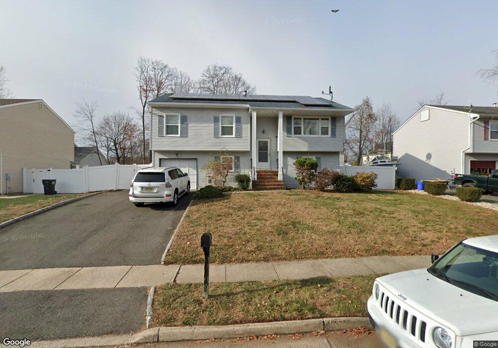
10 Mccarthy Ct South Plainfield, NJ 07080
Estimated Value: $454,759 - $588,000
--
Bed
--
Bath
--
Sq Ft
8,233
Sq Ft Lot
About This Home
This home is located at 10 Mccarthy Ct, South Plainfield, NJ 07080 and is currently estimated at $539,690. 10 Mccarthy Ct is a home located in Middlesex County with nearby schools including South Plainfield High School, The Queen City Academy Charter School, and Koinonia Academy.
Ownership History
Date
Name
Owned For
Owner Type
Purchase Details
Closed on
Nov 1, 2004
Current Estimated Value
Create a Home Valuation Report for This Property
The Home Valuation Report is an in-depth analysis detailing your home's value as well as a comparison with similar homes in the area
Home Values in the Area
Average Home Value in this Area
Purchase History
| Date | Buyer | Sale Price | Title Company |
|---|---|---|---|
| -- | $315,000 | -- |
Source: Public Records
Tax History Compared to Growth
Tax History
| Year | Tax Paid | Tax Assessment Tax Assessment Total Assessment is a certain percentage of the fair market value that is determined by local assessors to be the total taxable value of land and additions on the property. | Land | Improvement |
|---|---|---|---|---|
| 2025 | $7,764 | $111,200 | $28,000 | $83,200 |
| 2024 | $7,426 | $111,200 | $28,000 | $83,200 |
| 2023 | $7,426 | $111,200 | $28,000 | $83,200 |
| 2022 | $7,334 | $111,200 | $28,000 | $83,200 |
| 2021 | $7,161 | $111,200 | $28,000 | $83,200 |
| 2020 | $7,057 | $111,200 | $28,000 | $83,200 |
| 2019 | $6,771 | $111,200 | $28,000 | $83,200 |
| 2018 | $6,596 | $111,200 | $28,000 | $83,200 |
| 2017 | $6,512 | $111,200 | $28,000 | $83,200 |
| 2016 | $6,446 | $111,200 | $28,000 | $83,200 |
| 2015 | $6,335 | $111,200 | $28,000 | $83,200 |
| 2014 | $6,153 | $111,200 | $28,000 | $83,200 |
Source: Public Records
Map
Nearby Homes
- 16 Mccarthy Ct
- 6 Mccarthy Ct
- 1145 Foster Ave
- 20 Mccarthy Ct
- 5 Mccarthy Ct
- 11 Mccarthy Ct
- 17 Mccarthy Ct
- 1016 Clinton Ave
- 26 Mccarthy Ct
- 1123 Foster Ave
- 2005 Foster Terrace
- 2003 Foster Terrace
- 2002 Foster Terrace
- 2000 Foster Terrace
- 2001 Foster Terrace
- 23 Mccarthy Ct
- 1999 Foster Terrace
- 1998 Foster Terrace
- 1136 Foster Ave
- 1198 Foster Ave