10 Mcnally Ln Sheridan, WY 82801
Estimated Value: $464,000 - $503,155
2
Beds
2
Baths
1,720
Sq Ft
$282/Sq Ft
Est. Value
About This Home
This home is located at 10 Mcnally Ln, Sheridan, WY 82801 and is currently estimated at $484,718, approximately $281 per square foot. 10 Mcnally Ln is a home with nearby schools including Sheridan High School.
Ownership History
Date
Name
Owned For
Owner Type
Purchase Details
Closed on
Jun 14, 2022
Sold by
Kunz Dallas E and Kunz Amber L
Bought by
Bohling Harry Edward and Bohling Kimberley Ann
Current Estimated Value
Home Financials for this Owner
Home Financials are based on the most recent Mortgage that was taken out on this home.
Original Mortgage
$259,997
Outstanding Balance
$247,345
Interest Rate
5.25%
Mortgage Type
New Conventional
Estimated Equity
$237,373
Purchase Details
Closed on
Jan 8, 2018
Sold by
Andrerson Zachary J and Anderson Caitlyn M
Bought by
Kunz Dallas E and Kunz Amber L
Home Financials for this Owner
Home Financials are based on the most recent Mortgage that was taken out on this home.
Original Mortgage
$245,471
Interest Rate
3.62%
Mortgage Type
FHA
Purchase Details
Closed on
Jul 14, 2011
Sold by
Hsbc Bank Usa N A
Bought by
Lundvall Donald F
Create a Home Valuation Report for This Property
The Home Valuation Report is an in-depth analysis detailing your home's value as well as a comparison with similar homes in the area
Home Values in the Area
Average Home Value in this Area
Purchase History
| Date | Buyer | Sale Price | Title Company |
|---|---|---|---|
| Bohling Harry Edward | -- | None Listed On Document | |
| Kunz Dallas E | -- | None Available | |
| Lundvall Donald F | -- | None Available |
Source: Public Records
Mortgage History
| Date | Status | Borrower | Loan Amount |
|---|---|---|---|
| Open | Bohling Harry Edward | $259,997 | |
| Previous Owner | Kunz Dallas E | $245,471 |
Source: Public Records
Tax History Compared to Growth
Tax History
| Year | Tax Paid | Tax Assessment Tax Assessment Total Assessment is a certain percentage of the fair market value that is determined by local assessors to be the total taxable value of land and additions on the property. | Land | Improvement |
|---|---|---|---|---|
| 2025 | $2,255 | $26,069 | $9,519 | $16,550 |
| 2024 | $2,255 | $33,911 | $12,693 | $21,218 |
| 2023 | $2,256 | $33,925 | $11,811 | $22,114 |
| 2022 | $2,054 | $30,893 | $9,696 | $21,197 |
| 2021 | $1,692 | $25,446 | $8,169 | $17,277 |
| 2020 | $1,568 | $23,586 | $6,588 | $16,998 |
| 2019 | $1,472 | $22,141 | $6,588 | $15,553 |
| 2018 | $1,318 | $19,815 | $6,149 | $13,666 |
| 2017 | $908 | $13,658 | $5,943 | $7,715 |
| 2015 | $807 | $12,129 | $4,447 | $7,682 |
| 2014 | $854 | $12,840 | $4,436 | $8,404 |
| 2013 | -- | $13,045 | $4,436 | $8,609 |
Source: Public Records
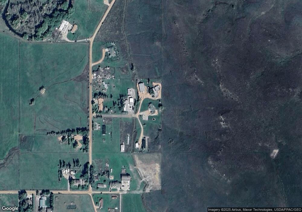
Map
Nearby Homes
- 37 Maverick Rd
- 5901 Coffeen Ave Unit Lot 10
- 5901 Coffeen Ave Unit Lot 28
- 5901 Coffeen Ave Unit 55
- 5901 Coffeen Ave Unit 33
- 5901 Coffeen Ave Unit Lot 92
- 5901 Coffeen Ave Unit Lot 63
- 20 Bridger Point Dr
- Lot 20 Bobcat Pass
- Lot 19 Bobcat Pass
- Lot 22 Bobcat Pass
- 7 Mallard Rd
- 18 Circle 8 Dr
- 19 Spring Creek Ln
- 3 Mallard Rd
- Lot 13 Bobcat Pass
- 4 Mallard Rd
- 5750 Big Horn Ave
- Lot 12 Bobcat Pass
- 91 Wyoming 335