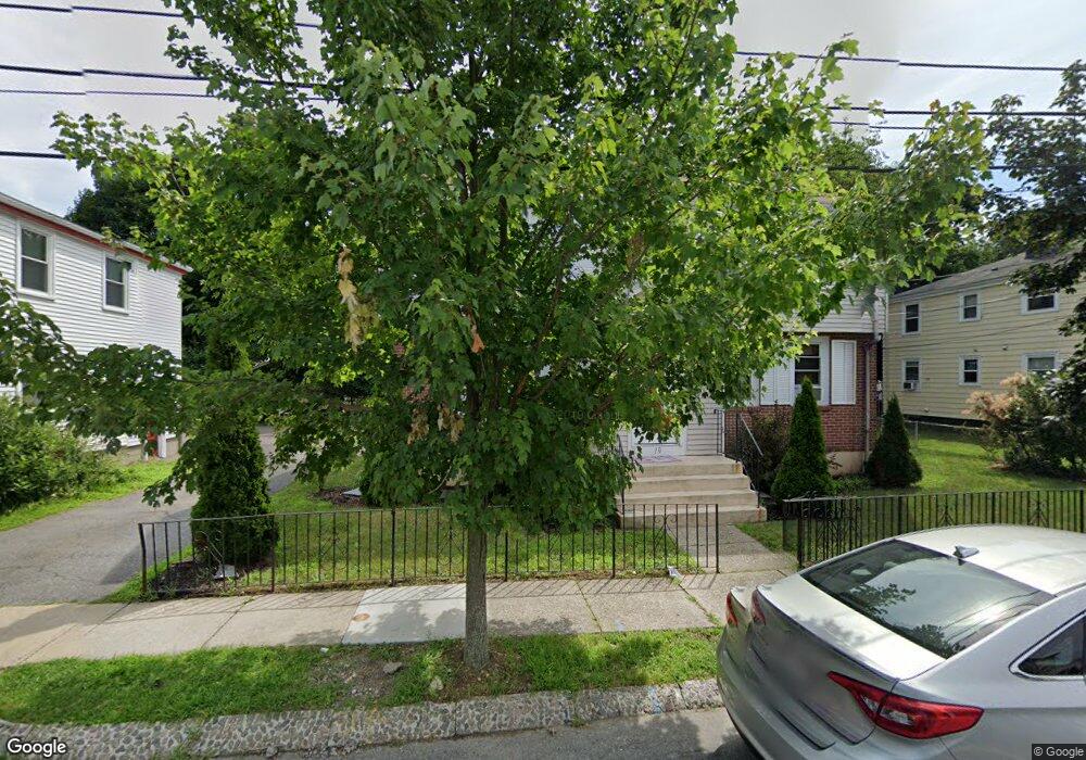
10 Meadowbank Ave Mattapan, MA 02126
Southern Mattapan NeighborhoodEstimated Value: $590,000 - $761,000
4
Beds
3
Baths
2,635
Sq Ft
$257/Sq Ft
Est. Value
About This Home
This home is located at 10 Meadowbank Ave, Mattapan, MA 02126 and is currently estimated at $678,111, approximately $257 per square foot. 10 Meadowbank Ave is a home located in Suffolk County with nearby schools including KIPP Academy Boston Charter School, Saint John Paul II Catholic Academy, and Berea Seventh-day Adventist Academy.
Ownership History
Date
Name
Owned For
Owner Type
Purchase Details
Closed on
Nov 1, 2000
Sold by
Desmond Leo C and Desmond Margaret H
Bought by
Joyner Derick D
Current Estimated Value
Home Financials for this Owner
Home Financials are based on the most recent Mortgage that was taken out on this home.
Original Mortgage
$183,487
Interest Rate
7.83%
Mortgage Type
Purchase Money Mortgage
Create a Home Valuation Report for This Property
The Home Valuation Report is an in-depth analysis detailing your home's value as well as a comparison with similar homes in the area
Home Values in the Area
Average Home Value in this Area
Purchase History
| Date | Buyer | Sale Price | Title Company |
|---|---|---|---|
| Joyner Derick D | $185,000 | -- |
Source: Public Records
Mortgage History
| Date | Status | Borrower | Loan Amount |
|---|---|---|---|
| Open | Joyner Derick D | $63,750 | |
| Open | Joyner Derick D | $205,600 | |
| Closed | Joyner Derick D | $183,487 |
Source: Public Records
Tax History Compared to Growth
Tax History
| Year | Tax Paid | Tax Assessment Tax Assessment Total Assessment is a certain percentage of the fair market value that is determined by local assessors to be the total taxable value of land and additions on the property. | Land | Improvement |
|---|---|---|---|---|
| 2025 | $6,857 | $592,100 | $195,200 | $396,900 |
| 2024 | $5,689 | $521,900 | $170,100 | $351,800 |
| 2023 | $5,190 | $483,200 | $157,500 | $325,700 |
| 2022 | $5,257 | $483,200 | $157,500 | $325,700 |
| 2021 | $4,864 | $455,900 | $148,600 | $307,300 |
| 2020 | $4,292 | $406,400 | $128,600 | $277,800 |
| 2019 | $3,818 | $362,200 | $97,800 | $264,400 |
| 2018 | $3,580 | $341,600 | $97,800 | $243,800 |
| 2017 | $3,321 | $313,600 | $97,800 | $215,800 |
| 2016 | $3,224 | $293,100 | $97,800 | $195,300 |
| 2015 | $3,226 | $266,400 | $114,000 | $152,400 |
| 2014 | $2,992 | $237,800 | $114,000 | $123,800 |
Source: Public Records
Map
Nearby Homes
- 333 Eliot St
- 10 Briarcliff Terrace
- 67 Idaho St
- 15 Cantwell Rd
- 131 Eliot St Unit 312
- 131 Eliot St Unit 408
- 131 Eliot St Unit 305
- 24 Constitution Rd
- 4 School St
- 23 Maryknoll St
- 32 Columbine Rd
- 8-14R Temple St
- 32-32R Temple St
- 30 Glenhill Rd
- 32 Violet St
- 11 French St
- 4 Crossman St Unit 4
- 36 Oakridge St
- 157 Delhi St
- 20 Herrick Dr
- 14 Meadowbank Ave
- 6 Meadowbank Ave
- 7 Duxbury Rd
- 5 Duxbury Rd
- 9 Duxbury Rd
- 2 Meadowbank Ave
- 11 Meadowbank Ave
- 11 Meadowbank Ave Unit 2
- 18 Meadowbank Ave
- 18 Meadowbank Ave Unit rigth side
- 18 Meadowbank Ave Unit 2
- 3 Duxbury Rd
- 15 Meadowbank Ave
- 11 Duxbury Rd
- 19 Meadowbank Ave
- 7 Meadowbank Ave
- 236 River St
- 240 River St
- 240 River St Unit 1
- 240 River St Unit R