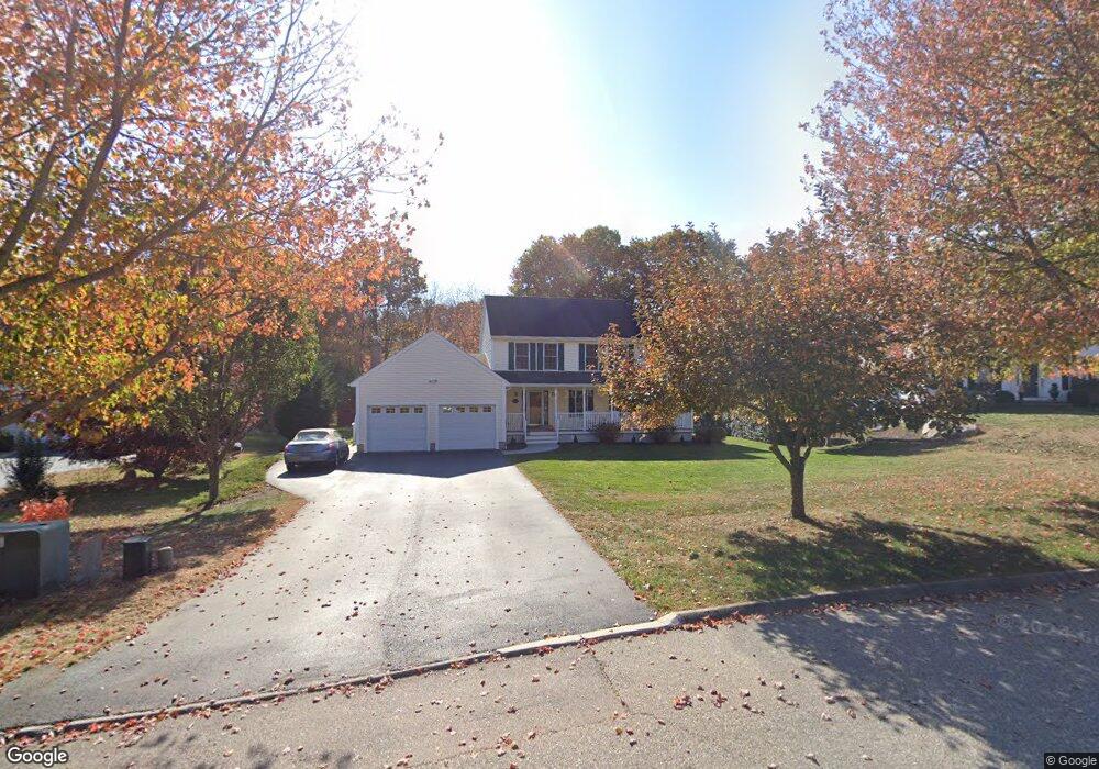
10 Memory Ln Waterford, CT 06385
Estimated Value: $680,000 - $750,000
About This Home
This home is located at 10 Memory Ln, Waterford, CT 06385 and is currently estimated at $707,506, approximately $282 per square foot. 10 Memory Ln is a home located in New London County with nearby schools including Clark Lane Middle School, Waterford High School, and New London High School Multi-Magnet Campus.
Ownership History
We collect this data history from publicly available records. To have your information removed, we recommend requesting removal directly through your county’s website.
Purchase Details
Home Values in the Area
Average Home Value in this Area
Purchase History
We collect this data history from publicly available records. To have your information removed, we recommend requesting removal directly through your county’s website.
| Date | Buyer | Sale Price | Title Company |
|---|---|---|---|
| $85,000 | -- |
Mortgage History
We collect this data history from publicly available records. To have your information removed, we recommend requesting removal directly through your county’s website.
| Date | Status | Borrower | Loan Amount |
|---|---|---|---|
| Open | $105,000 | ||
| Open | $200,545 | ||
| Closed | $50,000 | ||
| Closed | $184,100 |
Tax History
We collect this data history from publicly available records. To have your information removed, we recommend requesting removal directly through your county’s website.
| Year | Tax Paid | Tax Assessment Tax Assessment Total Assessment is a certain percentage of the fair market value that is determined by local assessors to be the total taxable value of land and additions on the property. | Land | Improvement |
|---|---|---|---|---|
| 2025 | $8,906 | $381,240 | $92,760 | $288,480 |
| 2024 | $8,502 | $381,240 | $92,760 | $288,480 |
| 2023 | $8,082 | $381,240 | $92,760 | $288,480 |
| 2022 | $7,636 | $277,060 | $63,130 | $213,930 |
| 2021 | $7,658 | $277,060 | $63,130 | $213,930 |
| 2020 | $7,722 | $277,060 | $63,130 | $213,930 |
| 2019 | $7,752 | $277,060 | $63,130 | $213,930 |
| 2018 | $7,597 | $277,060 | $63,130 | $213,930 |
| 2017 | $7,684 | $284,290 | $63,250 | $221,040 |
| 2016 | $7,613 | $284,290 | $63,250 | $221,040 |
| 2015 | $7,343 | $284,290 | $63,250 | $221,040 |
| 2014 | $7,050 | $284,290 | $63,250 | $221,040 |
Map
- 88 Spithead Rd
- 179 Niantic River Rd
- 17 5th Ave
- 173 Stoneheights Dr
- 348 Boston Post Rd Unit A4
- 348 Boston Post Rd Unit A3
- 3 Middle St
- 1 Middle St
- 9 Hilltop Terrace
- 241 Niantic River Rd
- 3 Arrowhead Trail
- 9 Miss Vans Ct
- 23 Cherry St
- 8 E Wharf Rd
- 276 Niantic River Rd
- 42 Shawandassee Rd
- 126 Rope Ferry Rd
- 16 Ledge Rd
- 7 Larson St
- 13 Miner Ave
Ask me questions while you tour the home.