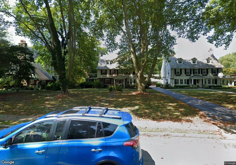
10 Merion Rd Merion Station, PA 19066
Estimated Value: $968,000 - $1,264,000
4
Beds
4
Baths
3,742
Sq Ft
$302/Sq Ft
Est. Value
About This Home
This home is located at 10 Merion Rd, Merion Station, PA 19066 and is currently estimated at $1,129,192, approximately $301 per square foot. 10 Merion Rd is a home located in Montgomery County with nearby schools including Merion Elementary School, Bala-Cynwyd Middle School, and Lower Merion High School.
Ownership History
Date
Name
Owned For
Owner Type
Purchase Details
Closed on
May 31, 2006
Sold by
Ellison John N and Ellison Penny C
Bought by
Habre Wassim and Habre Jamileh Najm
Current Estimated Value
Home Financials for this Owner
Home Financials are based on the most recent Mortgage that was taken out on this home.
Original Mortgage
$414,960
Outstanding Balance
$244,645
Interest Rate
6.62%
Estimated Equity
$884,547
Purchase Details
Closed on
Apr 29, 1999
Sold by
Howard David M
Bought by
Ellison John N and Ellison Penny C
Create a Home Valuation Report for This Property
The Home Valuation Report is an in-depth analysis detailing your home's value as well as a comparison with similar homes in the area
Home Values in the Area
Average Home Value in this Area
Purchase History
| Date | Buyer | Sale Price | Title Company |
|---|---|---|---|
| Habre Wassim | $592,800 | None Available | |
| Ellison John N | $280,000 | -- |
Source: Public Records
Mortgage History
| Date | Status | Borrower | Loan Amount |
|---|---|---|---|
| Open | Habre Wassim | $414,960 |
Source: Public Records
Tax History Compared to Growth
Tax History
| Year | Tax Paid | Tax Assessment Tax Assessment Total Assessment is a certain percentage of the fair market value that is determined by local assessors to be the total taxable value of land and additions on the property. | Land | Improvement |
|---|---|---|---|---|
| 2025 | $12,111 | $290,000 | $95,100 | $194,900 |
| 2024 | $12,111 | $290,000 | $95,100 | $194,900 |
| 2023 | $11,606 | $290,000 | $95,100 | $194,900 |
| 2022 | $11,391 | $290,000 | $95,100 | $194,900 |
| 2021 | $11,132 | $290,000 | $95,100 | $194,900 |
| 2020 | $10,860 | $290,000 | $95,100 | $194,900 |
| 2019 | $10,668 | $290,000 | $95,100 | $194,900 |
| 2018 | $10,668 | $290,000 | $95,100 | $194,900 |
| 2017 | $10,276 | $290,000 | $95,100 | $194,900 |
| 2016 | $10,163 | $290,000 | $95,100 | $194,900 |
| 2015 | $9,476 | $290,000 | $95,100 | $194,900 |
| 2014 | $9,476 | $290,000 | $95,100 | $194,900 |
Source: Public Records
Map
Nearby Homes
- 156 Idris Rd
- 662 S Highland Ave
- 415 City Ave Unit I-2
- 415 City Ave Unit H2
- 5939 Drexel Rd
- 6380 City Ave
- 5920 Woodbine Ave
- 5933 Woodcrest Ave
- 5845 Woodcrest Ave
- 2217 N 59th St
- 2211 Melvin St
- 5710 Drexel Rd
- 5717 Woodcrest Ave
- 6451 Woodcrest Ave
- 5665 Lebanon Ave
- 5667 Lebanon Ave
- 1122 26 N 63rd St
- 6127 Lebanon Ave
- 5708 Malvern Ave
- 2405 N 57th St