Estimated Value: $661,756 - $748,000
3
Beds
2
Baths
1,670
Sq Ft
$422/Sq Ft
Est. Value
About This Home
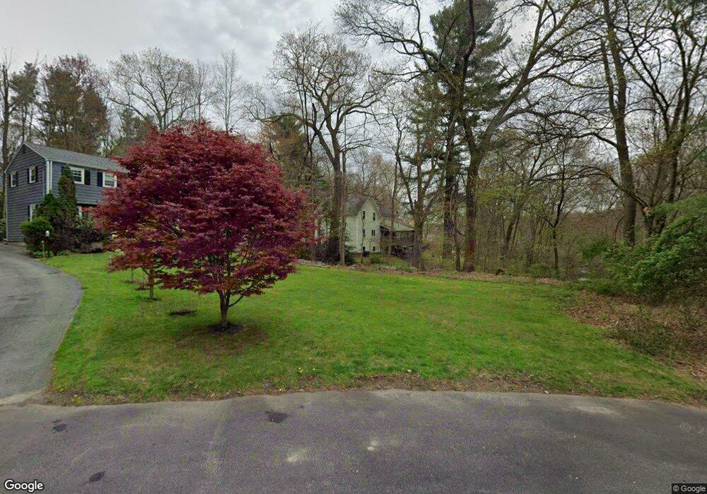
This home is located at 10 Merriam Ln, Acton, MA 01720 and is currently estimated at $703,939, approximately $421 per square foot. 10 Merriam Ln is a home located in Middlesex County with nearby schools including Acton-Boxborough Regional High School, Maynard Knowledge Beginnings, and The Imago School.
Ownership History
Date
Name
Owned For
Owner Type
Purchase Details
Closed on
Dec 18, 2018
Sold by
Freeman Mark D and Sutherland Carol
Bought by
Freeman Mark D and Sutherland Carol A
Current Estimated Value
Purchase Details
Closed on
Oct 5, 2005
Sold by
Fey Jennifer D and Fey Nicholas G
Bought by
Sutherland Carol and Freeman Mark D
Home Financials for this Owner
Home Financials are based on the most recent Mortgage that was taken out on this home.
Original Mortgage
$387,000
Interest Rate
5.81%
Mortgage Type
Purchase Money Mortgage
Purchase Details
Closed on
May 10, 2002
Sold by
Williams George B and Meaney Kerry L
Bought by
Fey Nicholas G and Fey Jennifer D
Home Financials for this Owner
Home Financials are based on the most recent Mortgage that was taken out on this home.
Original Mortgage
$296,910
Interest Rate
7.18%
Mortgage Type
Purchase Money Mortgage
Create a Home Valuation Report for This Property
The Home Valuation Report is an in-depth analysis detailing your home's value as well as a comparison with similar homes in the area
Home Values in the Area
Average Home Value in this Area
Purchase History
| Date | Buyer | Sale Price | Title Company |
|---|---|---|---|
| Freeman Mark D | -- | -- | |
| Sutherland Carol | $430,000 | -- | |
| Fey Nicholas G | $329,900 | -- |
Source: Public Records
Mortgage History
| Date | Status | Borrower | Loan Amount |
|---|---|---|---|
| Previous Owner | Sutherland Carol | $387,000 | |
| Previous Owner | Fey Nicholas G | $296,910 |
Source: Public Records
Tax History Compared to Growth
Tax History
| Year | Tax Paid | Tax Assessment Tax Assessment Total Assessment is a certain percentage of the fair market value that is determined by local assessors to be the total taxable value of land and additions on the property. | Land | Improvement |
|---|---|---|---|---|
| 2025 | $9,021 | $526,000 | $284,500 | $241,500 |
| 2024 | $8,370 | $502,100 | $284,500 | $217,600 |
| 2023 | $8,360 | $476,100 | $258,500 | $217,600 |
| 2022 | $8,529 | $438,500 | $224,700 | $213,800 |
| 2021 | $7,770 | $384,100 | $208,000 | $176,100 |
| 2020 | $7,390 | $384,100 | $208,000 | $176,100 |
| 2019 | $7,020 | $362,400 | $208,000 | $154,400 |
| 2018 | $6,576 | $339,300 | $208,000 | $131,300 |
| 2017 | $6,467 | $339,300 | $208,000 | $131,300 |
| 2016 | $6,525 | $339,300 | $208,000 | $131,300 |
| 2015 | $6,507 | $341,600 | $208,000 | $133,600 |
| 2014 | $6,387 | $328,400 | $208,000 | $120,400 |
Source: Public Records
Map
Nearby Homes
- 70 River St
- 128 Audubon Dr
- 118 Parker St Unit 16
- 128 Parker St Unit 3B
- 40 High St
- 132 Parker St Unit G5
- 129 Main St Unit 129
- 129 Main St
- 131 Main St
- 19 Railroad St Unit C2
- 169 Main St
- 25 Main St
- 1 Maillet Dr
- 303 School St
- 46 Taylor Rd
- 65 Summit St
- 80 N Branch Rd
- 7 King St
- 96 Forest Ridge Rd Unit 96
- 70 Hillside Ave
- 18 Vanderbelt Rd
- 11 Merriam Ln
- 5 Merriam Ln
- 16 Olde Surrey Dr
- 14 Olde Surrey Dr
- 21 Vanderbelt Rd
- 18 Olde Surrey Dr
- 3 Merriam Ln
- 19 Vanderbelt Rd
- 20 Olde Surrey Dr
- 12 Olde Surrey Dr
- 108 River St
- 14 Vanderbelt Rd
- 103 River St Unit Left
- 103 River St
- 101 River St Unit Left
- 15 Olde Surrey Dr
- 17 Vanderbelt Rd
- 22 Olde Surrey Dr
- 13 Vanderbelt Rd