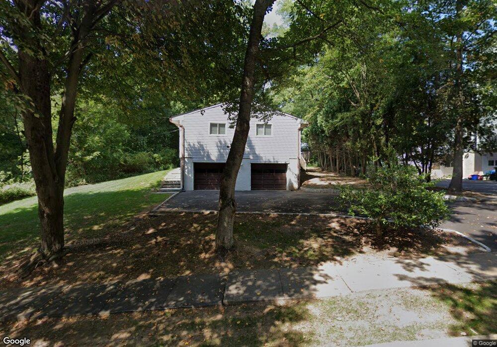
10 Michael Ln High Bridge, NJ 08829
Estimated Value: $478,000 - $555,000
Studio
--
Bath
1,608
Sq Ft
$320/Sq Ft
Est. Value
About This Home
This home is located at 10 Michael Ln, High Bridge, NJ 08829 and is currently estimated at $513,886, approximately $319 per square foot. 10 Michael Ln is a home located in Hunterdon County with nearby schools including High Bridge Elementary School, High Bridge Middle School, and Voorhees High School.
Ownership History
Date
Name
Owned For
Owner Type
Purchase Details
Closed on
Jun 21, 2000
Sold by
Hladky Alexander G
Bought by
Taylor Earle B
Current Estimated Value
Home Financials for this Owner
Home Financials are based on the most recent Mortgage that was taken out on this home.
Original Mortgage
$162,000
Interest Rate
7.64%
Purchase Details
Closed on
Jun 15, 1994
Sold by
Komarnycky Peter and Komarnycky Lisa
Bought by
Hladky Alexander G and Savyckyj Christine A
Create a Home Valuation Report for This Property
The Home Valuation Report is an in-depth analysis detailing your home's value as well as a comparison with similar homes in the area
Home Values in the Area
Average Home Value in this Area
Purchase History
| Date | Buyer | Sale Price | Title Company |
|---|---|---|---|
| Taylor Earle B | $215,000 | -- | |
| Hladky Alexander G | $187,500 | -- |
Source: Public Records
Mortgage History
| Date | Status | Borrower | Loan Amount |
|---|---|---|---|
| Previous Owner | Taylor Earle B | $162,000 |
Source: Public Records
Tax History
| Year | Tax Paid | Tax Assessment Tax Assessment Total Assessment is a certain percentage of the fair market value that is determined by local assessors to be the total taxable value of land and additions on the property. | Land | Improvement |
|---|---|---|---|---|
| 2025 | $12,847 | $391,400 | $205,900 | $185,500 |
| 2024 | $12,060 | $393,600 | $145,600 | $248,000 |
Source: Public Records
Map
Nearby Homes
- 8 Michael Ln
- 21 Indian Spring Ln
- 6 Michael Ln
- 22 Indian Spring Ln
- 23 Indian Spring Ln
- 24 Indian Spring Ln
- 20 Indian Spring Ln
- 25 Indian Spring Ln
- 19 Indian Spring Ln
- 3 Michael Ln
- 26 Indian Spring Ln
- 18 Indian Spring Ln
- 5 Michael Ln
- 7 Sycamore Ct
- 6 Sycamore Ct
- 17 Indian Spring Ln
- 5 Sycamore Ct
- 16 Indian Spring Ln
- 15 Indian Spring Ln
- 27 Indian Spring Ln
Your Personal Tour Guide
Ask me questions while you tour the home.